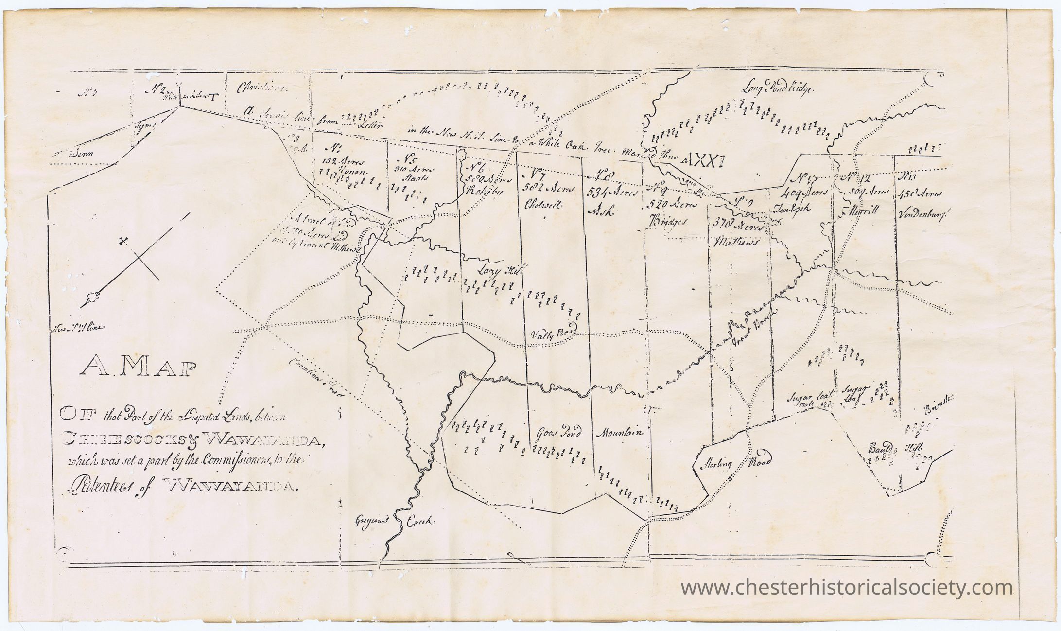
A Map of that Part of the Disputed Lands, between Cheesecocks & Wawayanda, which was set a part by the Commissioners, to the Patentees of Wawayanda
A Map of that Part of the Disputed Lands, between Cheesecocks & Wawayanda, which was set a part by the Commissioners, to the Patentees of Wawayanda photocopy
A Map of that Part of the Disputed Lands, between Cheesecocks & Wawayanda, which was set a part by the Commissioners, to the Patentees of Wawayanda photocopy

Name/Title
A Map of that Part of the Disputed Lands, between Cheesecocks & Wawayanda, which was set a part by the Commissioners, to the Patentees of WawayandaEntry/Object ID
chs-013870Description
Photocopy of original Map of that Part of the Disputed Lands, between Cheesecocks & Wawayanda, which was set a part by the Commissioners, to the Patentees of Wawayanda, missing there fifth panel (right most).Collection
W. S. DurlandCategory
Chester History