Name/Title
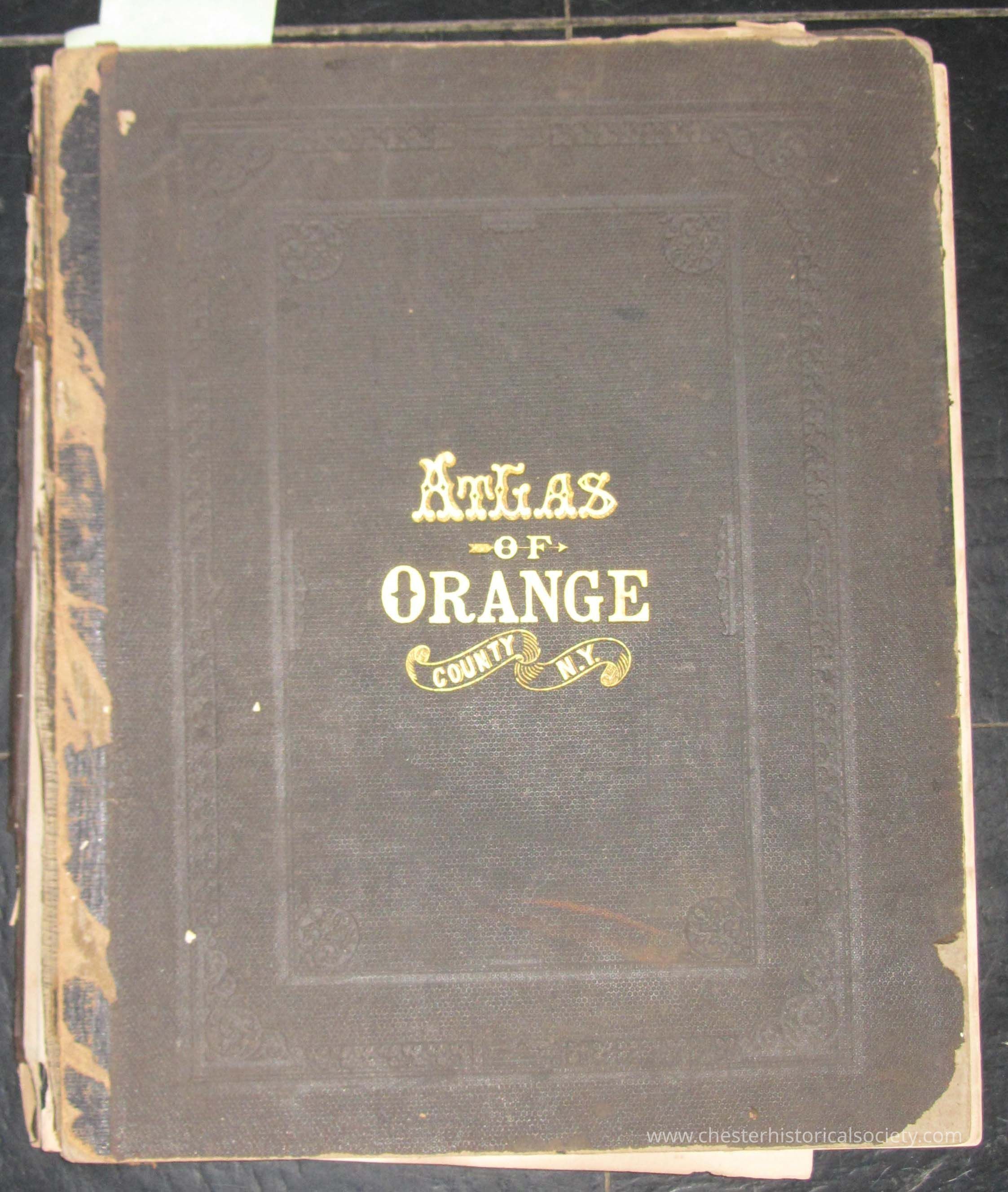
Atlas of Orange County 1875Entry/Object ID
chs-000251Description
Published in 1875 by the Chicago firm Andreas, Baskin & Burr, the Atlas of Orange County, New York, remains a definitive historical record surveyed under the direction of F.W. Beers. This large-folio volume, measuring approximately 14x17 inches, features 157 pages of vibrant, hand-colored lithographed maps and detailed woodcut illustrations of period residences and farms.
Beyond its visual appeal, the atlas serves as a vital primary source for historians and genealogists. By documenting specific landowner names, properties, and locations of 19th-century infrastructure—including schools, churches, railroads, and industrial sites—it provides a precise spatial snapshot of the county’s Victorian-era development.Collection
Bud Demerest CollectionDimensions
Height
45.3 cmWidth
37.8 cmDepth
2.3 cmDimension Notes
157 pagesBook Details
Author
Beers, F. W.Publisher
Andrew Baskin and BurrDate Published
1875Create Date
January 15, 2025Update Date
July 11, 2026