Name/Title
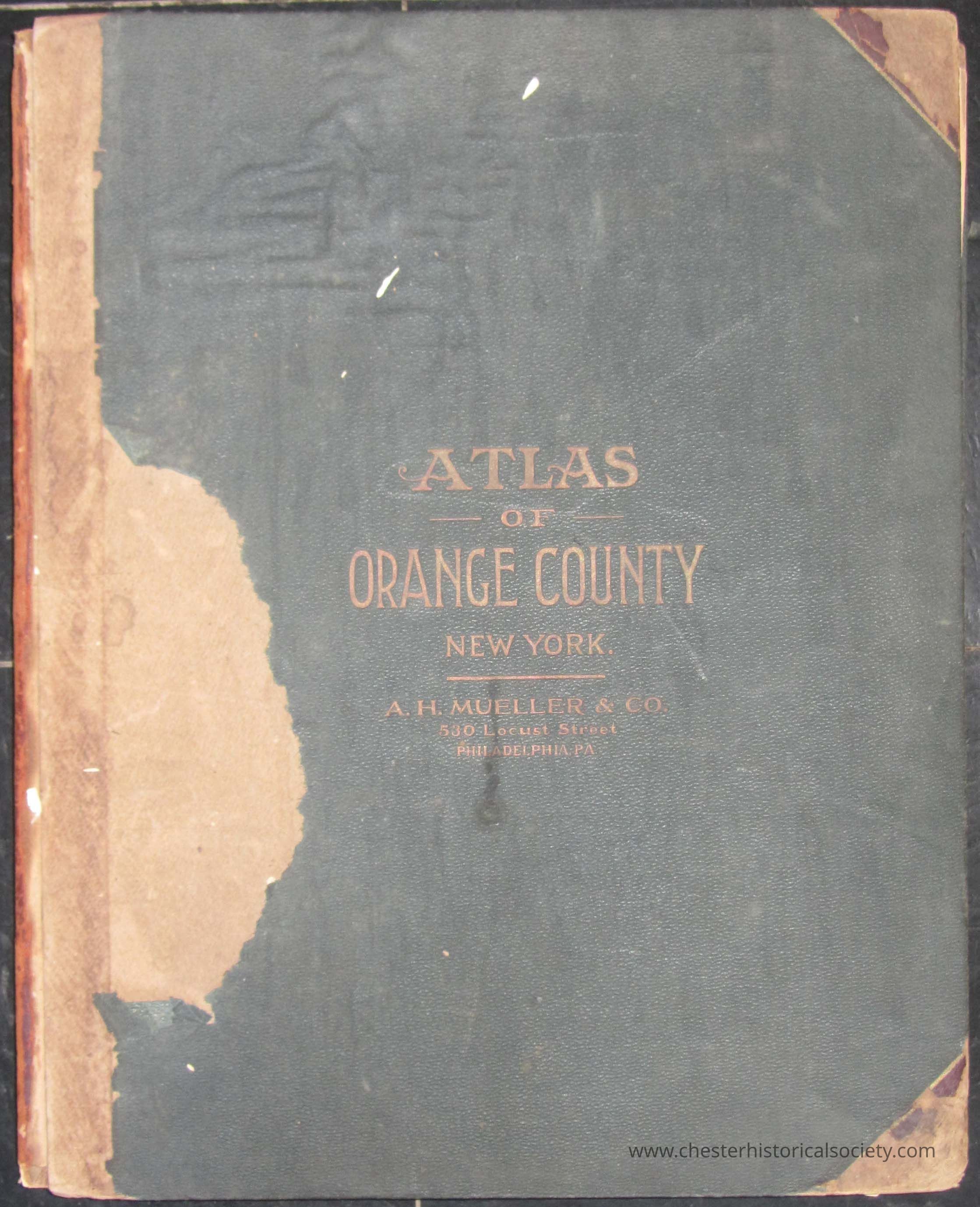
Atlas of Orange County 1903Entry/Object ID
chs-000252Description
The 1903 Atlas of Orange County, New York, a premier example of early 20th-century American cartography, was meticulously produced by A. H. Mueller & Co. of Philadelphia. This comprehensive volume recorded the county’s physical and social landscape during significant growth. It features large-format, hand-colored plates detailing townships, cities, and villages, focusing on land ownership and infrastructure. Properties, railroads, roads, canals, churches, schools, cemeteries, post offices, and industrial sites are labeled. Village insets show bustling hubs like Newburgh, Middletown, and Port Jervis. Published from the firm’s Locust Street offices, it served as an essential tool for real estate speculators, local government officials, and genealogists.Collection
Bud Demerest Collection, Bud Demerest Collection, Bud Demerest CollectionDimensions
Height
53 cmWidth
42.8 cmDepth
2.7 cmDimension Notes
110 pages.Book Details
Publisher
A.H. Mueller & Co.Date Published
1903Create Date
January 15, 2025Update Date
July 11, 2026