Commissioners Map of Low Lands in the Towns of Chester & Blooming Grove
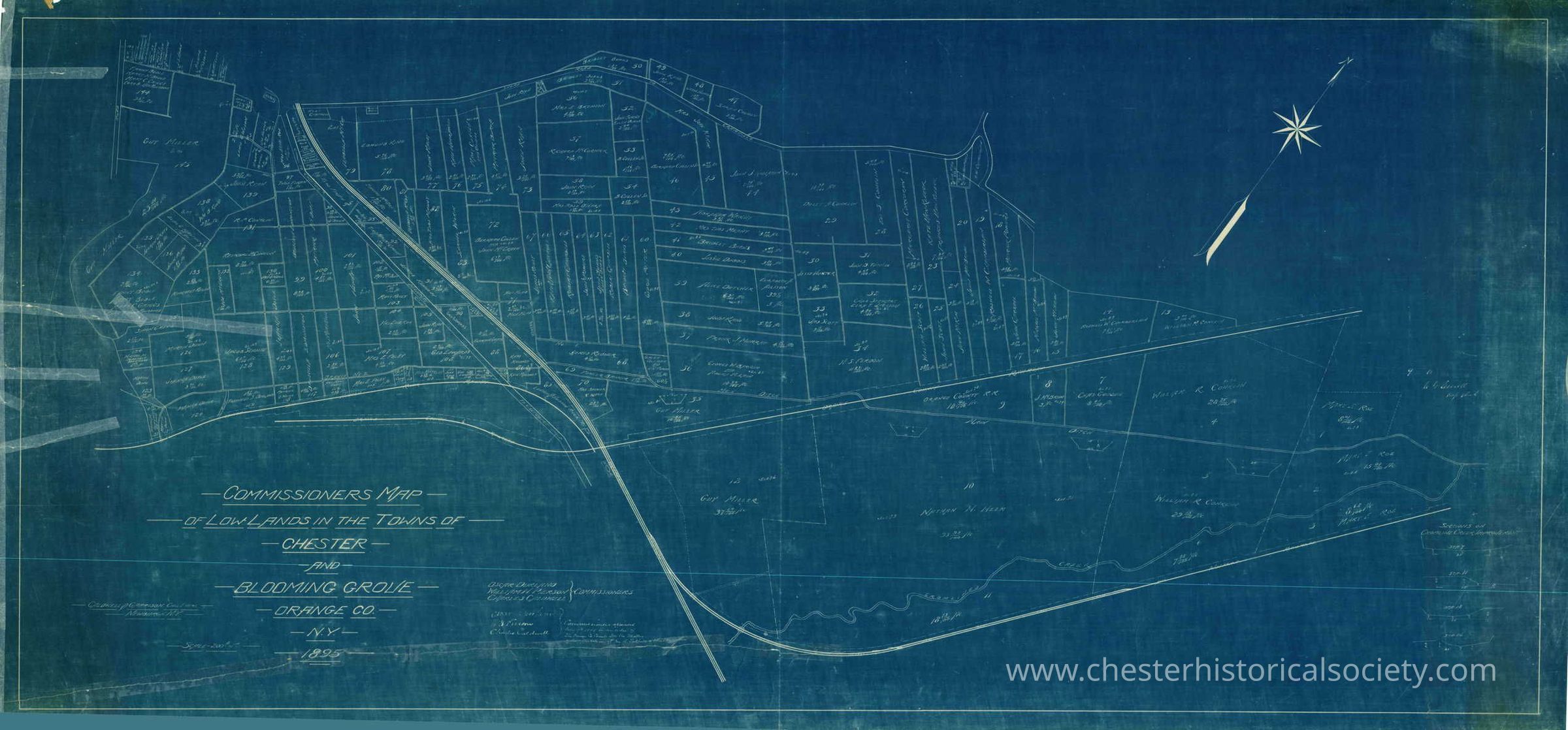
Commissioners Map of Low Lands in the Towns of Chester & Blooming Grove: The image shows a detailed blueprint of the 1895 Commissioners Map of Low Lands in the Towns of Chester & Blooming Grove highlighting land areas and roads, including a compass rose.
Commissioners Map of Low Lands in the Towns of Chester & Blooming Grove

The image shows a detailed blueprint of the 1895 Commissioners Map of Low Lands in the Towns of Chester & Blooming Grove highlighting land areas and roads, including a compass rose.

Name/Title

Commissioners Map of Low Lands in the Towns of Chester & Blooming Grove

Entry/Object ID

chs-006521

Secondary Title

1895 Commissioners Map of Low Lands in the Towns of Chester & Blooming Grove.

Description

Blueprint: 66 by 32 inches

Collection

Myrtle Edwards Collection

Map Details

Maker or Creator

Caldwell & Garrison Civil Engrs., Newburgh, NY

Area or Region

Village

Chester (Village) - Orange County - New York

Date Published

1895

Dimensions

Height

82.5 cm

Width

173.6 cm

Create Date

October 22, 2024

Update Date

July 11, 2026