Map of Cromline Tract
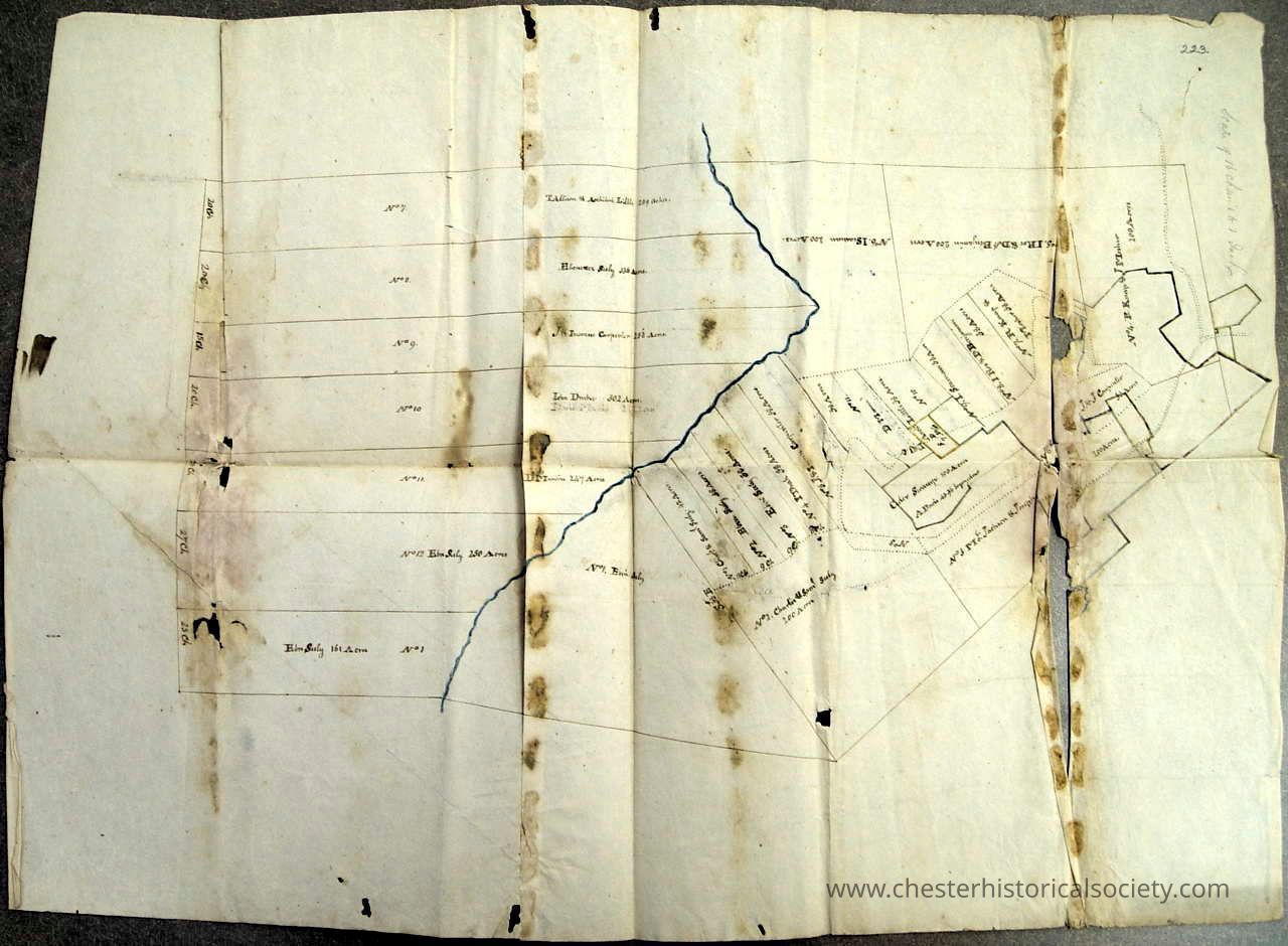
Map of Cromline Tract obverse.: The image shows an old, stained map displaying various land plots with handwritten labels and boundary lines.
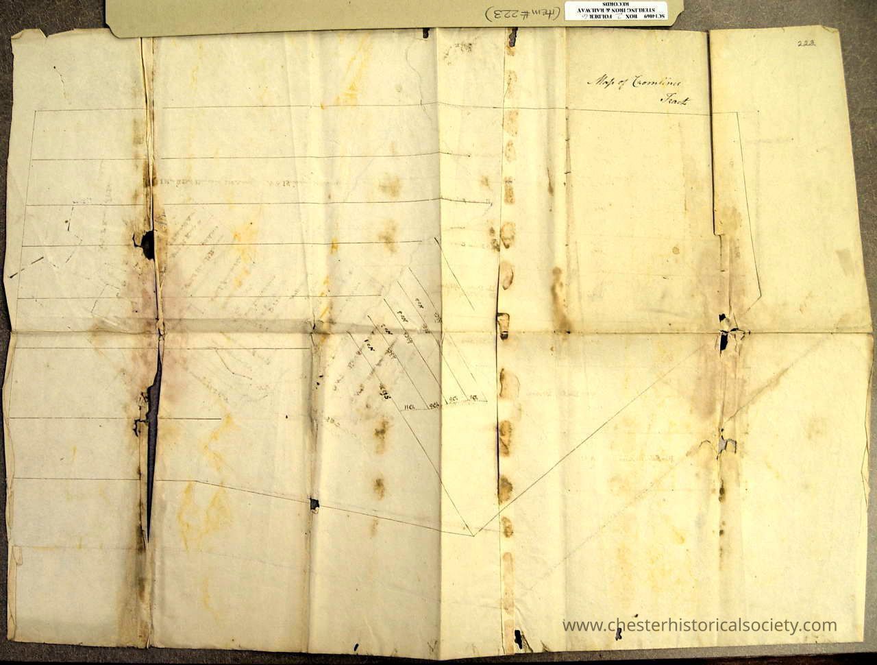
Map of Cromline Tract obverse.

The image shows an old, stained map displaying various land plots with handwritten labels and boundary lines.

Name/Title

Map of Cromline Tract

Entry/Object ID

chs-011120

Secondary Title

1750?-1800? hand drawn Map of the Cromline Tract

Description

Courtesy of the New York State Library, Manuscripts and Special Collections.

Collection

New York State Library, Manuscripts and Special Collections

Map Details

Area or Region

Town

Chester (Town) - Orange County - New York

Dimensions

Height

35.3 cm

Width

49.8 cm

Create Date

October 22, 2024

Update Date

August 20, 2026