Map of Orange County, New York
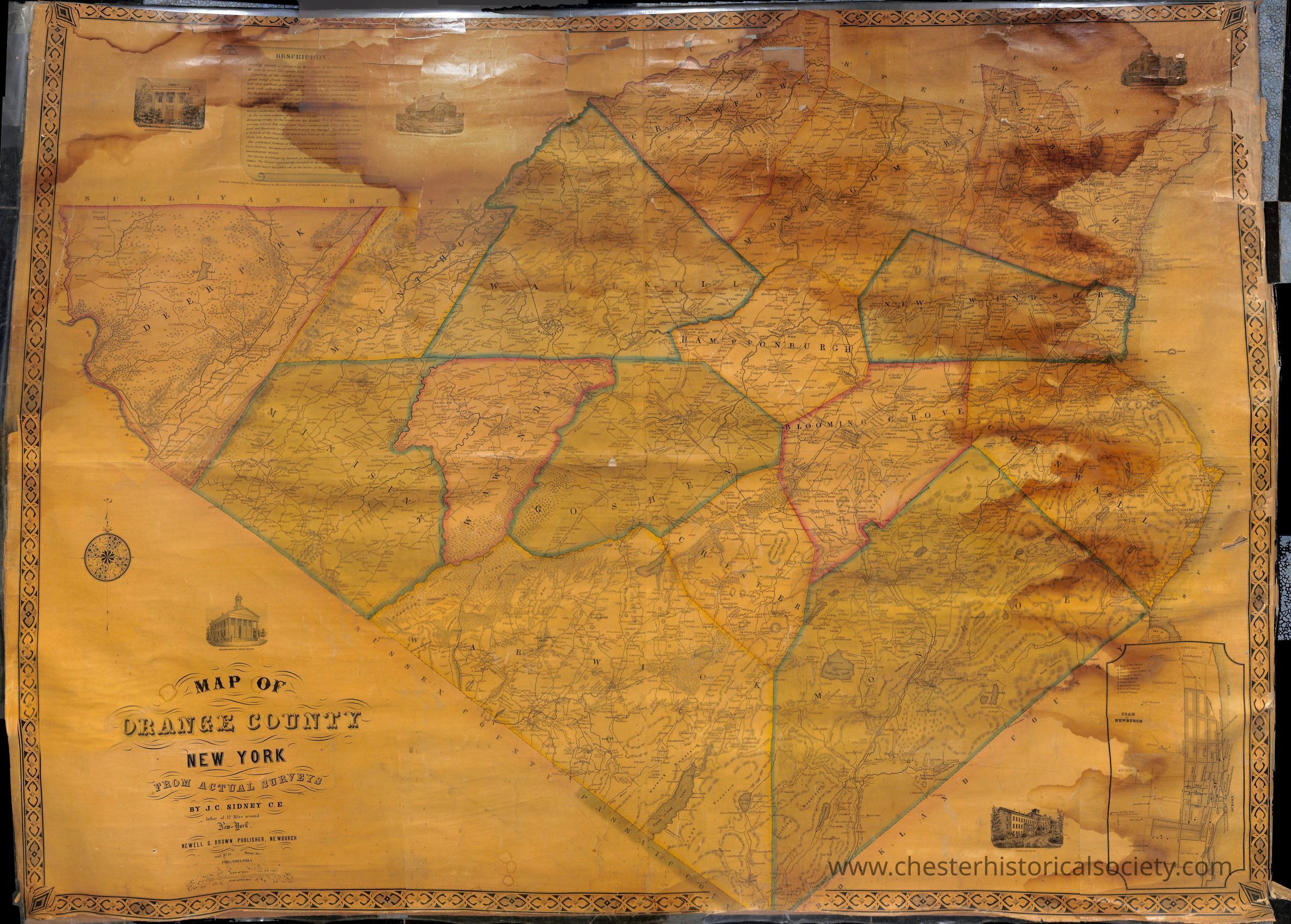
J. C. Sidney "Map of Orange County, New York," 1850.: The image is an aged, water-stained varnished paper-on-linen map of Orange County, New York, created from actual surveys by J.H. French and published by Robert Pearsall Smith in Syracuse in 1850. The map features intricate artwork, annotations, town boundaries, terrain features, roads, and notable buildings, with ornate decorative borders and inset illustrations of prominent local structures, showcasing the cartographic and artistic style of mid-19th century mapmaking.
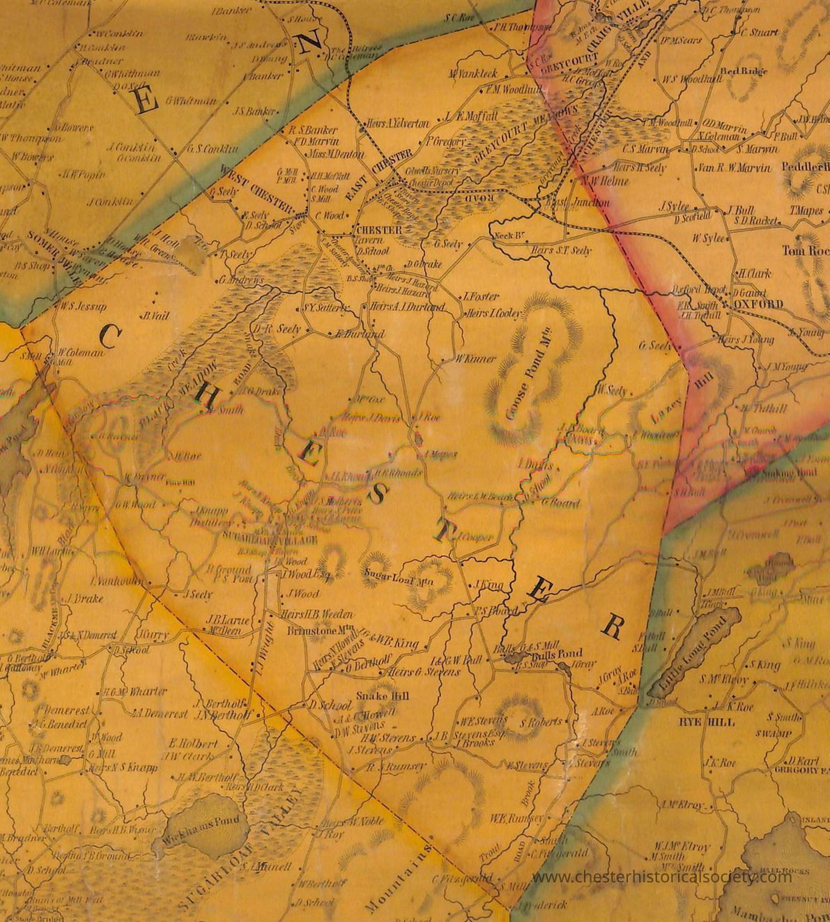
J. C. Sidney "Map of Orange County, New York," 1850.

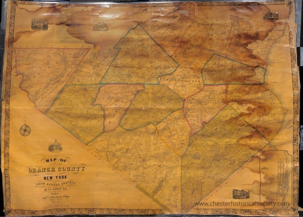
The image is an aged, water-stained varnished paper-on-linen map of Orange County, New York, created from actual surveys by J.H. French and published by Robert Pearsall Smith in Syracuse in 1850. The map features intricate artwork, annotations, town boundaries, terrain features, roads, and notable buildings, with ornate decorative borders and inset illustrations of prominent local structures, showcasing the cartographic and artistic style of mid-19th century mapmaking.

Name/Title

Map of Orange County, New York

Entry/Object ID

chs-015947

Description

Map of Orange County, New York

Map Details

Area or Region

County

Orange (county) - New York

Date Published

1850

Map Notes

Discovered by Code Enforcement Officer John Orr & Mayor Tom Bell behind file cabinets in Village Hall on Sept. 6, 2016. The map has lots of staining, and duct tape on edges and reverse. Some losses.

Dimensions

Height

106 cm

Width

145 cm

Create Date

May 11, 2024

Update Date

July 11, 2026