Map of Part of Chester, N.Y.
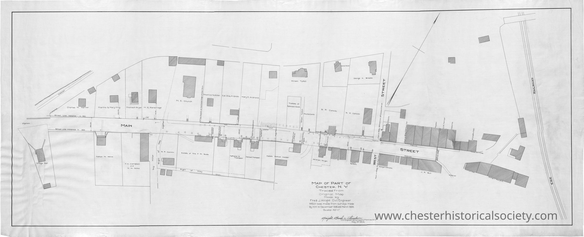
1924 Map of the Downtown Part of Chester, N.Y.: This 1924 map depicts the downtown part of Chester, New York, showing streets, structures, and property labels.
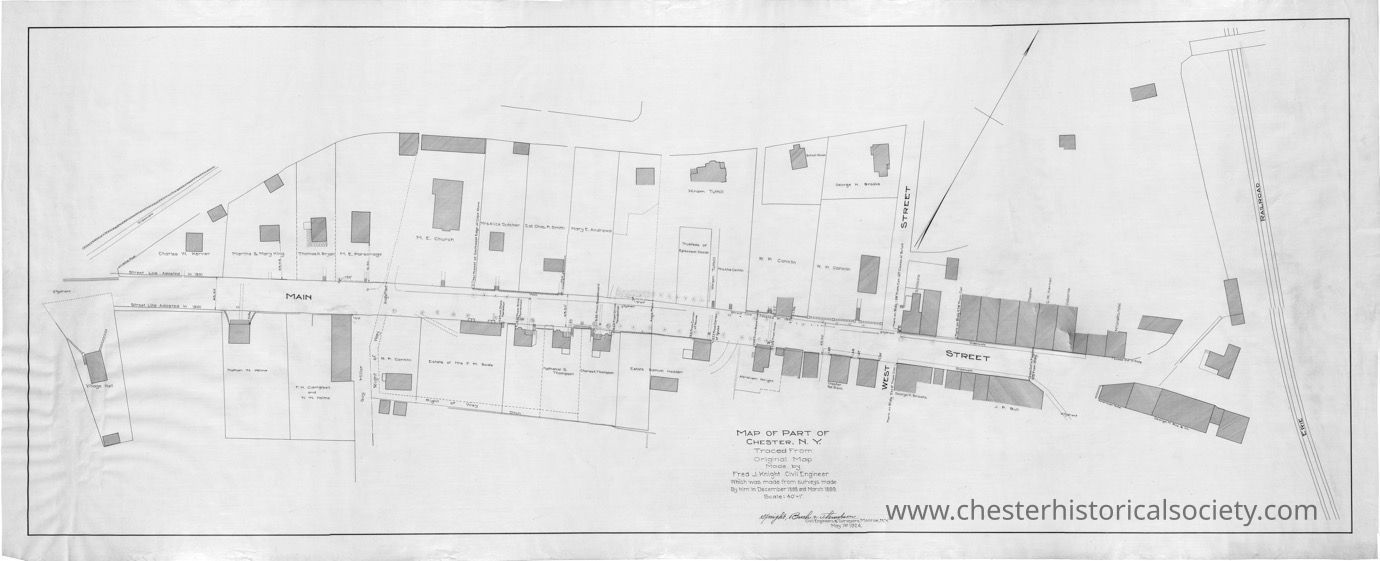
1924 Map of the Downtown Part of Chester, N.Y.

This 1924 map depicts the downtown part of Chester, New York, showing streets, structures, and property labels.

Name/Title

Map of Part of Chester, N.Y.

Entry/Object ID

chs-016881

Description

A scan of a 1924 map that depicts the downtown part of Chester, New York, showing streets, structures, and property labels. James Nelson, Town of Monroe Historian retains the original #819.

Map Details

Maker or Creator

Knight, Fred J.

Scale

40' - 1"

Area or Region

Village

Chester (Village) - Orange County - New York

Publisher

Fred J. Knight

Date Published

May 1, 1924

Dimensions

Height

54.3 cm

Width

135 cm

Create Date

October 22, 2024

Update Date

July 14, 2026