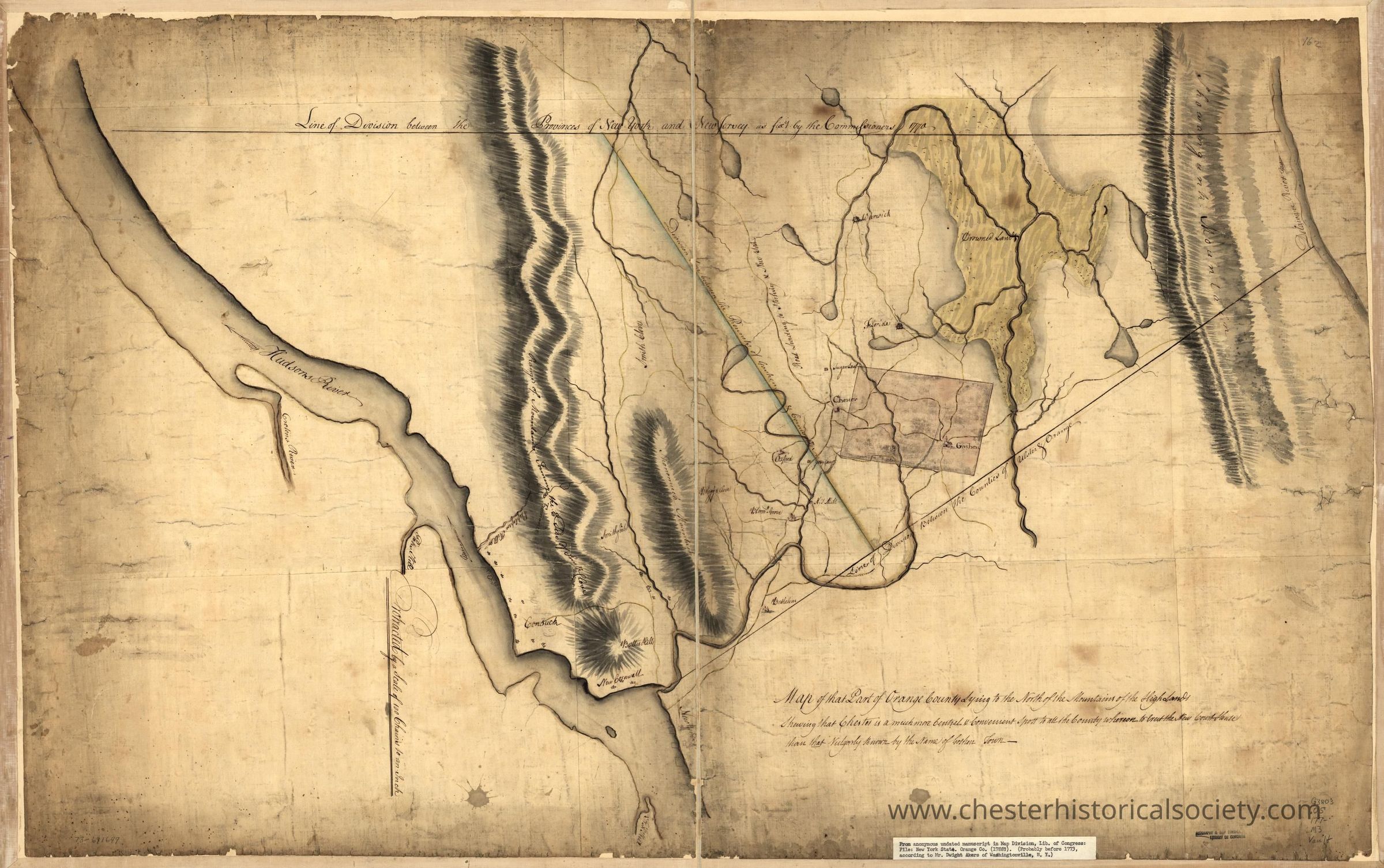
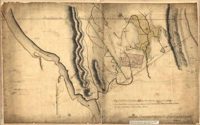
Map of that part of Orange County lying to the north of the mountains of the highlands shewing that Chester is a much more central & convenient spott to all the country whereon to erect the new court house than that vulgarly known by the name of Goshen Town
Map of that part of Orange County lying to the north of the mountains of the highlands shewing that Chester…
Map of that part of Orange County lying to the north of the mountains of the highlands showing that Chester is a much more central & convenient spot to all the country whereon to erect the new court house than that vulgarly known by the name of Goshen Town.
Name/Title
Map of that part of Orange County lying to the north of the mountains of the highlands shewing that Chester is a much more central & convenient spott to all the country whereon to erect the new court house than that vulgarly known by the name of Goshen TownEntry/Object ID
chs-012115Description
Map of that part of Orange County lying to the north of the mountains of the highlands showing that Chester is a much more central & convenient spot to all the country whereon to erect the new court house than that vulgarly known by the name of Goshen Town. The Library of Congress Geography and Map Division Washington, D.C holds the original.Category
Maps