HUB
Collections
Classifications
About
App
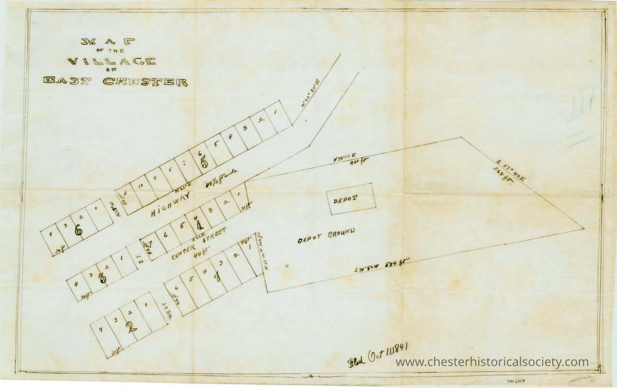
Map of the Village of East Chester
Map
-
Chester Historical Society
Map of the Village of East Chester.
The image is an 1841 map of East Chester village, showing plots, streets, and the proposed RR Depot.
Name/Title
Map of the Village of East Chester
Entry/Object ID
chs-006017
Secondary Title
1841 Map of the Village of East Chester.
Description
18 by 11 1/2 inches on linen
Map Details
Area or Region
Village
Chester (Village) - Orange County - New York
Dimensions
Height
29.2 cm
Width
45.7 cm
Create Date
October 22, 2024
Update Date
July 11, 2026