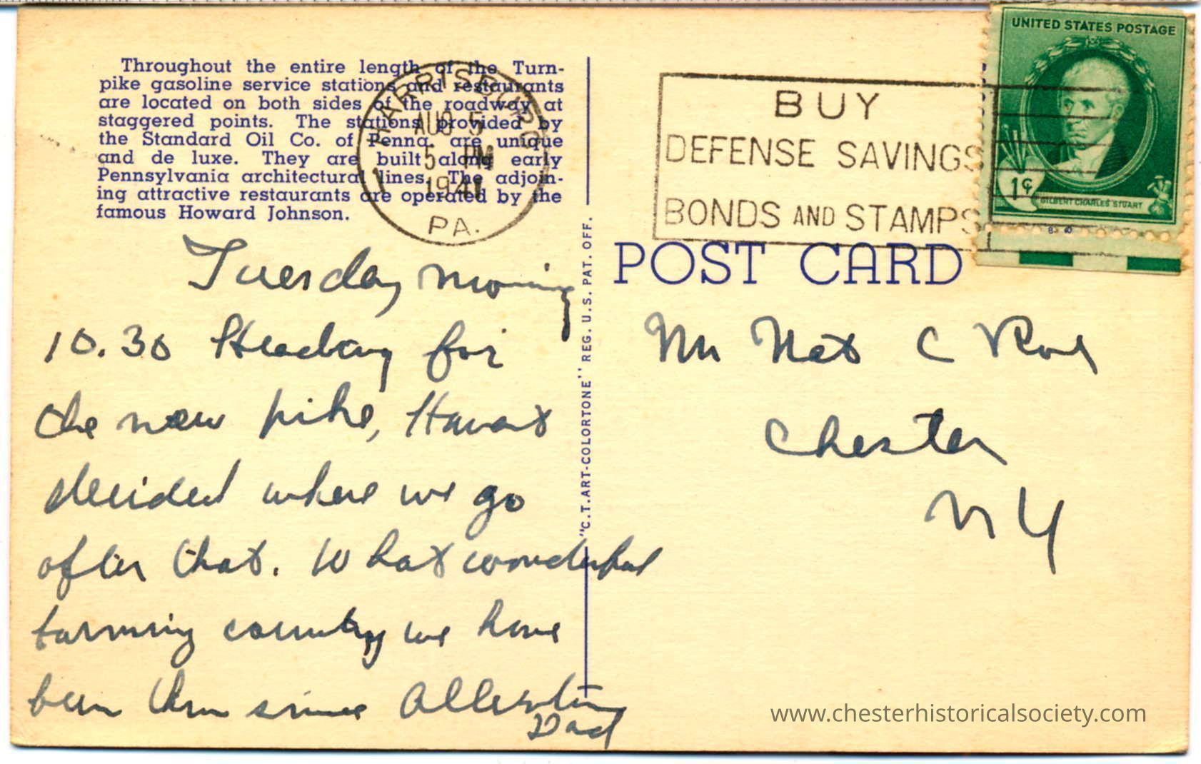
Pennsylvania Turnpike
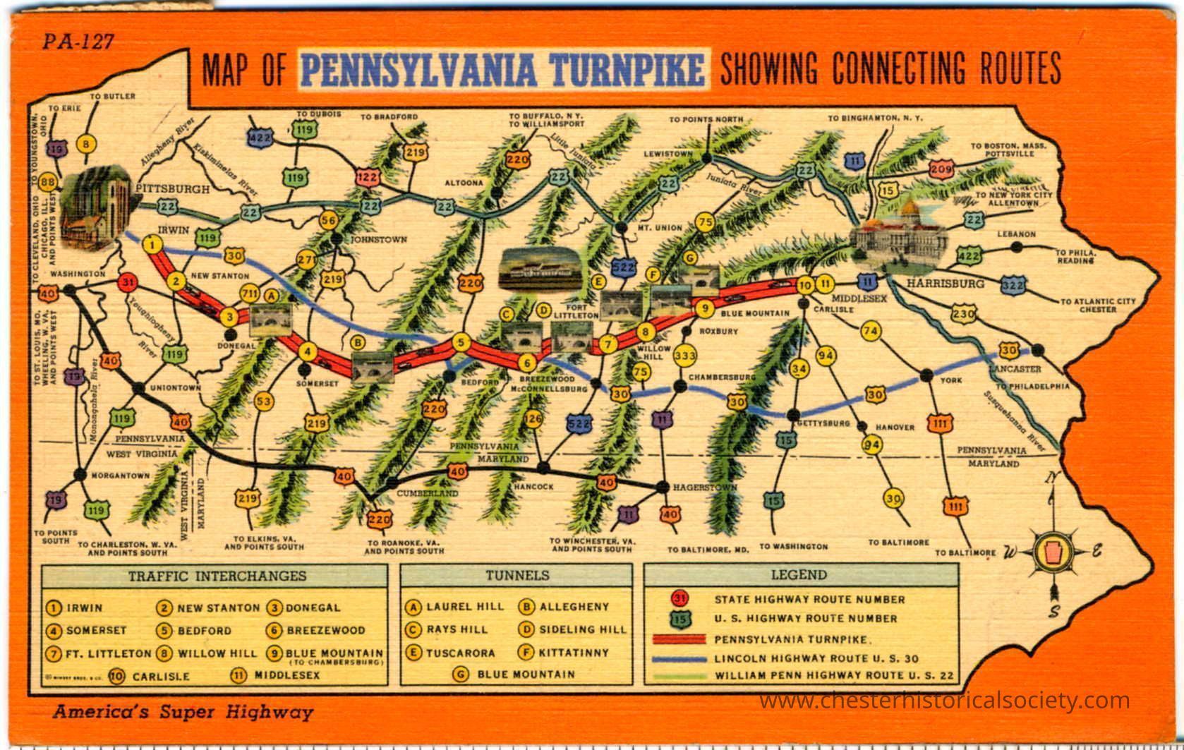
Pennsylvania Turnpike
This vintage map illustrates the Pennsylvania Turnpike and its connecting routes, featuring various interchanges and tunnels marked with numbers, while highlighting major cities like Pittsburgh and Harrisburg. The map is bordered by an orange frame and includes a legend explaining the symbols for state highways, U.S. highways, and the Turnpike itself. Illustrated are key towns such as Irwin, Somerset, and Bedford along with detailed routes like the Lincoln Highway. Furthermore, the map artistically depicts mountains in green.