Name/Title
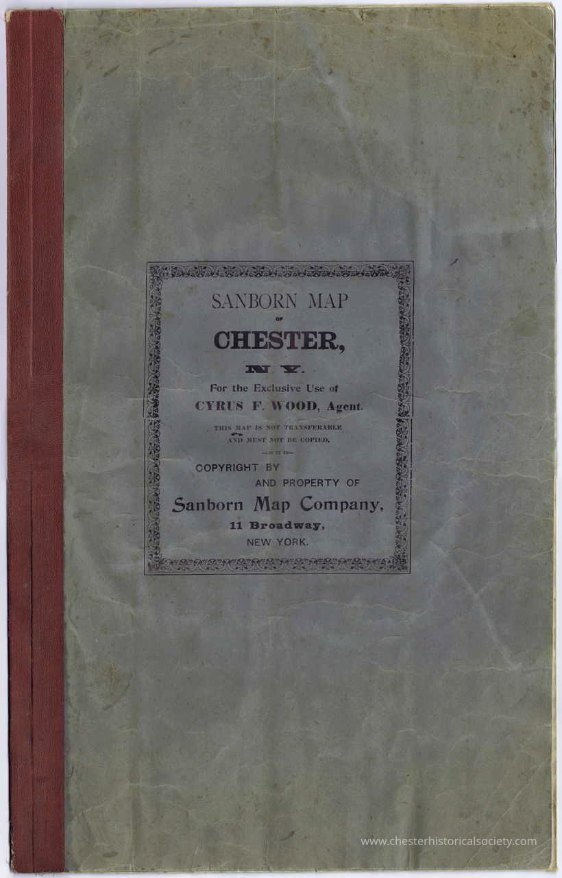
Cyrus F. Wood's copy of Sanborn Insurance Map of Chester 1900Entry/Object ID
chs-000253Description
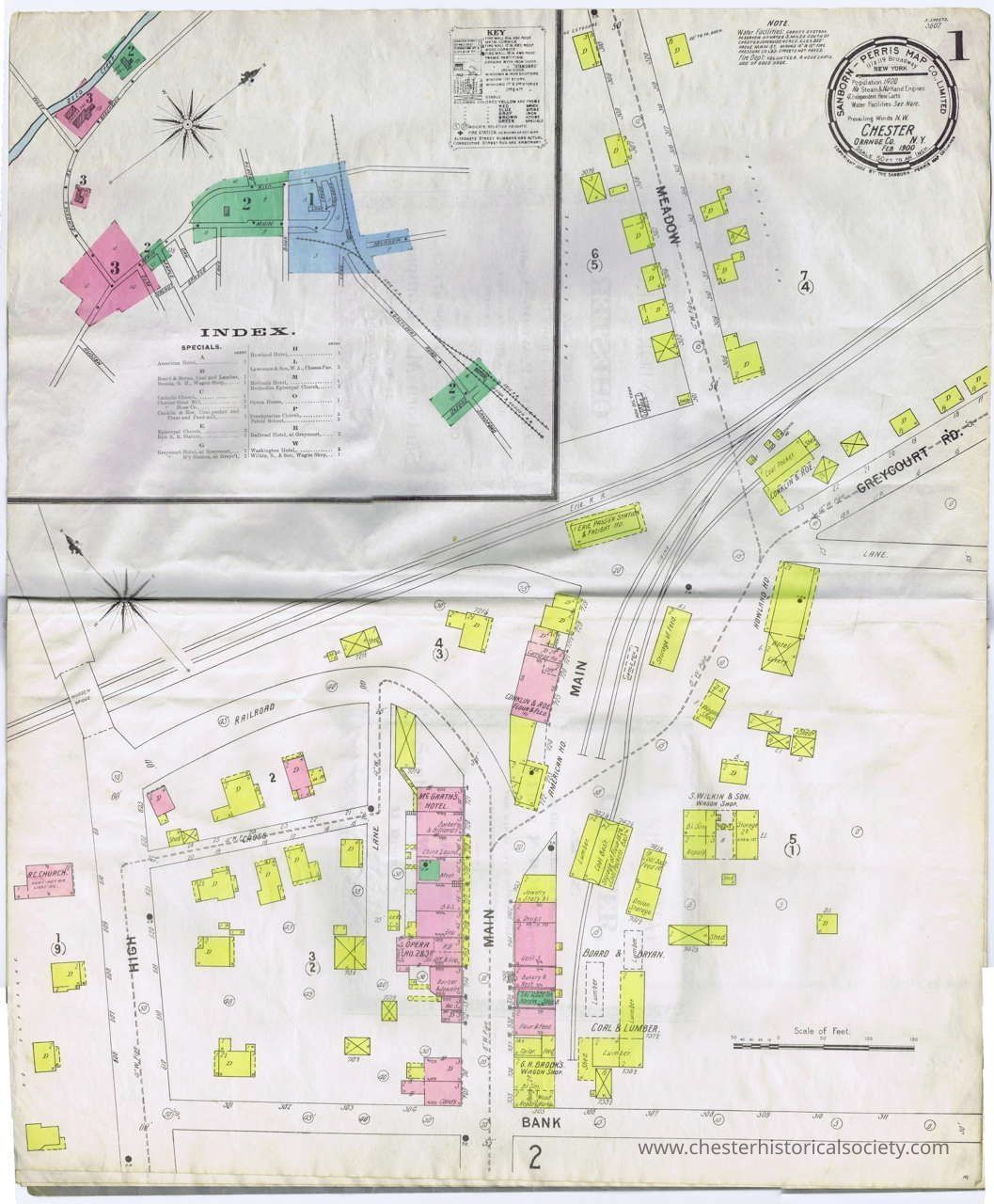
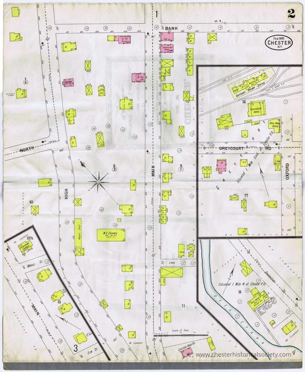
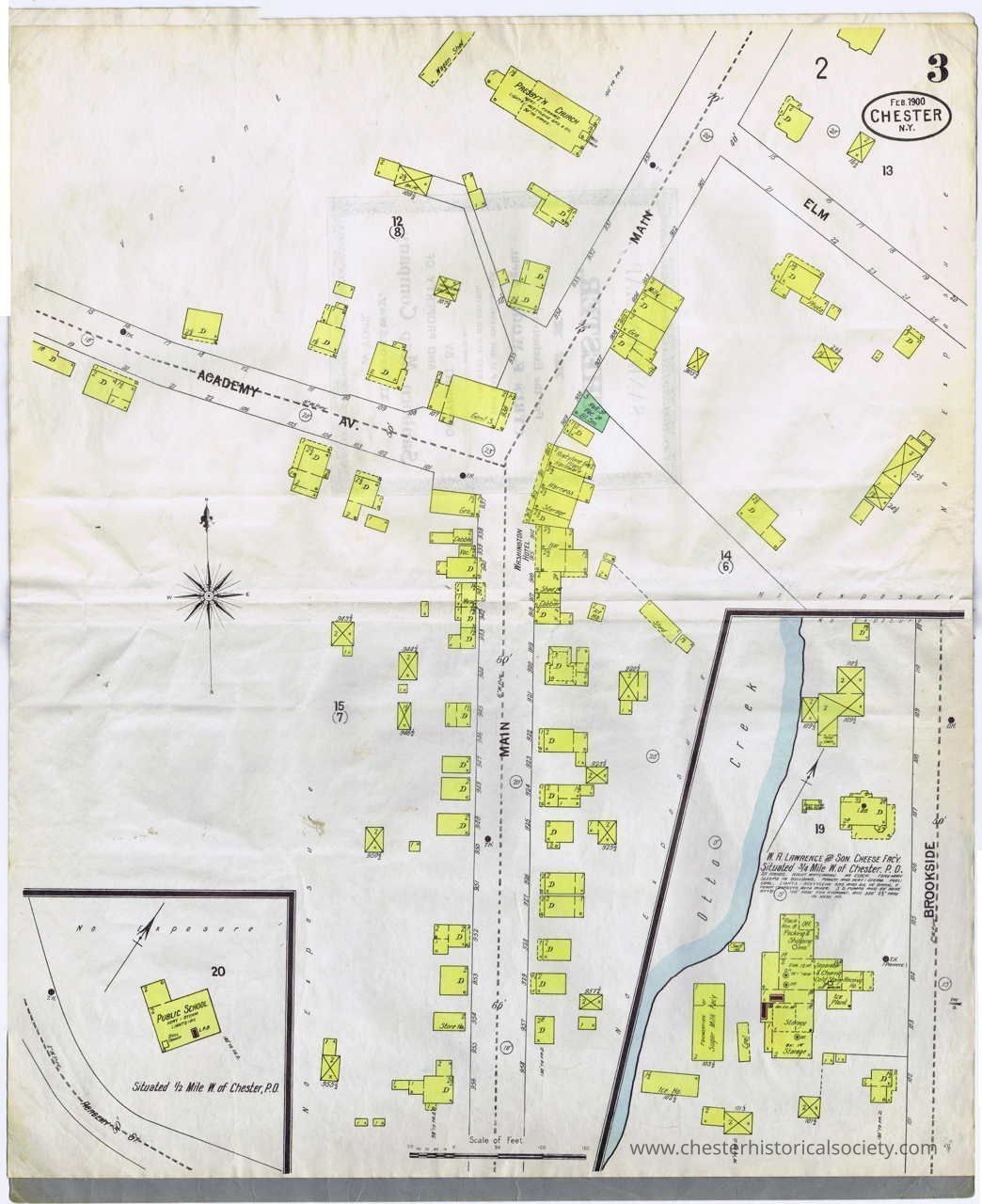
The Sanborn Insurance Maps of Chester, New York, are large-scale, lithographed street plans that provide a high-resolution "snapshot" of the village’s built environment during the late 19th and early 20th centuries. Originally created to help fire insurance companies assess liability, these maps have become indispensable tools for local historians and preservationists.
Historical Coverage
The Sanborn Map Company produced several editions for Chester, including a significant 4-sheet survey in May 1925. These maps typically focused on the "congested" or developed areas of the village—such as the downtown business district and the industrial corridors along the railroad—rather than outlying rural farmlands.
Key Features and Details
Each sheet is drawn at a scale of 1 inch to 50 feet, allowing for an extraordinary level of detail regarding individual properties:
Building Composition: A standardized color-coding system identifies construction materials at a glance. For instance, yellow indicates frame (wood) structures, while pink or red represents brick, and blue denotes stone or concrete.
Structural Specs: The maps record the number of stories, the presence of basements, and the type of roofing (e.g., slate, tin, or shingle). They even pinpoint the location of specific hazards like "oil tanks" or the placement of "fire walls."
Occupancy and Use: Labels identify the function of buildings, ranging from general notations like "D" (Dwelling) and "S" (Store) to specific names for prominent local landmarks, churches, and industrial facilities like the historic milk plants or mills.
Infrastructure: The maps trace the evolution of the village's fire protection, marking the locations of water mains (including their diameter), hydrants, and cisterns.
For historical research in Chester, these maps serve as a primary source for:
Tracing Property Evolution: By comparing different editions (such as the 1900 set against earlier or later records), researchers can track when specific buildings were expanded, moved, or demolished.
Archival Replicas: The precise dimensions and building outlines provide the necessary data for creating accurate scale models of historic streetscapes.
Land Use History: They are vital for identifying the previous industrial footprints of properties, such as the transition of agricultural lands into industrial parks.Collection
Bud Demerest Collection, Bud Demerest Collection, Bud Demerest CollectionMap Details
Area or Region
Village
Chester (Village) - Orange County - New YorkPublisher
Sanborn-Perris Map Co., LimitedDate Published
1900Dimensions
Height
53.5 cmWidth
34 cmDimension Notes
3 full spread maps.Create Date
October 22, 2024Update Date
July 14, 2026