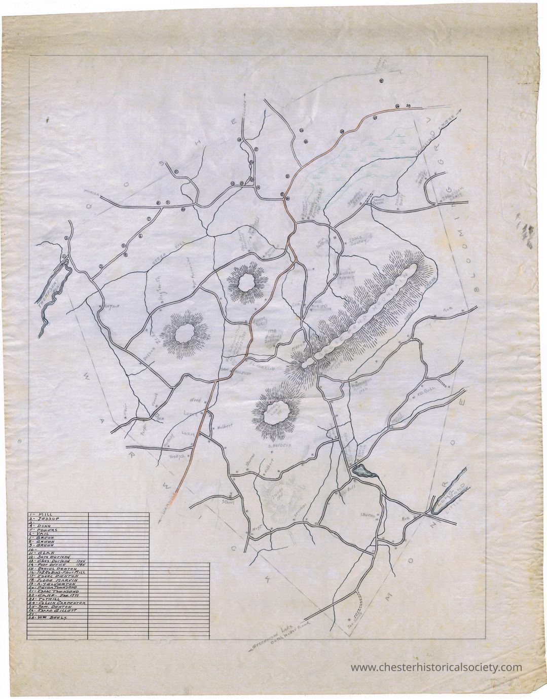
Town of Chester Map

Town of Chester Map, circa 1920.: The image features an old, detailed map with handwritten text, depicting various roads, mountains, and geographical features.

Town of Chester Map, circa 1920.

The image features an old, detailed map with handwritten text, depicting various roads, mountains, and geographical features.

Name/Title

Town of Chester Map

Entry/Object ID

chs-013868

Description

Town of Chester Map on linen, with early inhabitants, roads, mountains, and geographical features depicted.

Collection

William S. Durland Collection

Map Details

Maker or Creator

Durland, Frank, 1860-1946

Area or Region

Town

Chester (Town) - Orange County - New York

Date Published

circa 1920

Dimensions

Height

58.7 cm

Width

44.8 cm

Create Date

October 22, 2024

Update Date

July 28, 2026