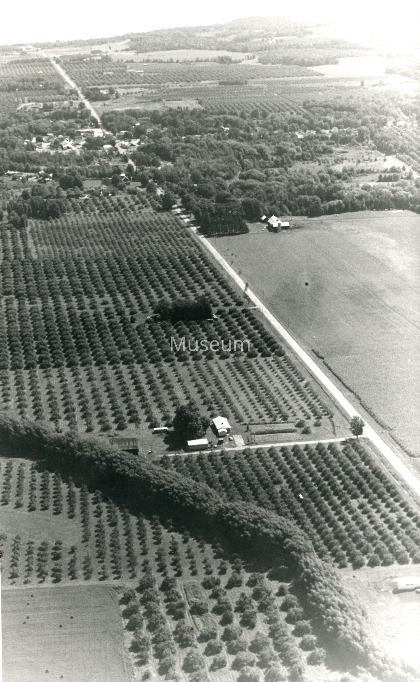
Aerial View of the Clarksburg Sideroad Looking East
Entry/Object ID
2016-076-346
Description
Black and white photographic print showing an aerial view of the Clarksburg Sideroad (Grey Road 40), west of Clarksburg looking east. Flat farm land on the right belonged to Ken Almond, the village of Clarksburg is visible. A typed, paper label is affixed to the reverse side that reads "Aerial view of the orchard lands lower Beaver Valley. Flat grain field on right is Ken Almond's. Clarksburg can be seen to the east.".