Name/Title
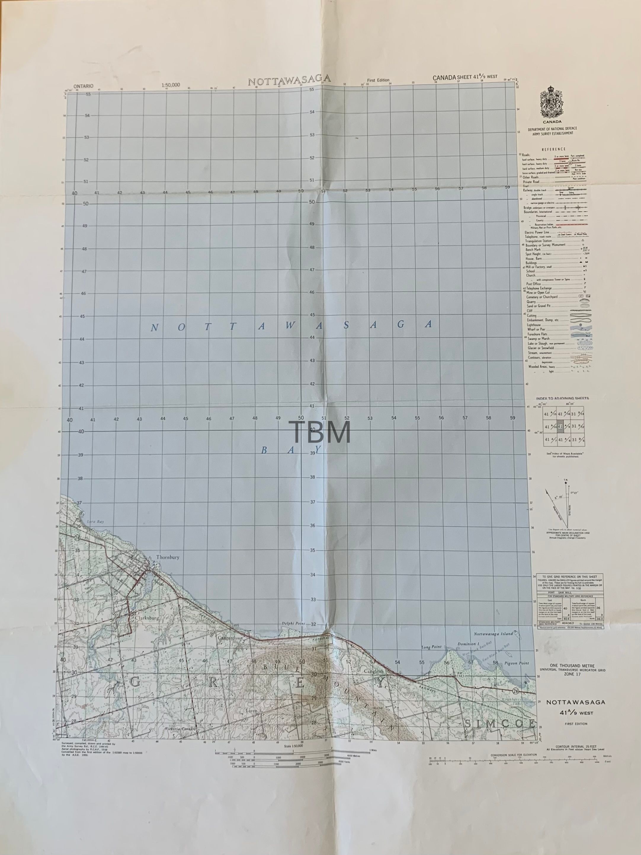
Map of Nottawasaga Bay and ShorelineEntry/Object ID
2016-011-003Description
Topographical Army Survey Map of Nottawasaga Bay and the shoreline of Collingwood Township, extending south to Victoria Corners, showing longitude and latitude, rail and road routes and the topography of the escarpment. There is a legend on the right side.