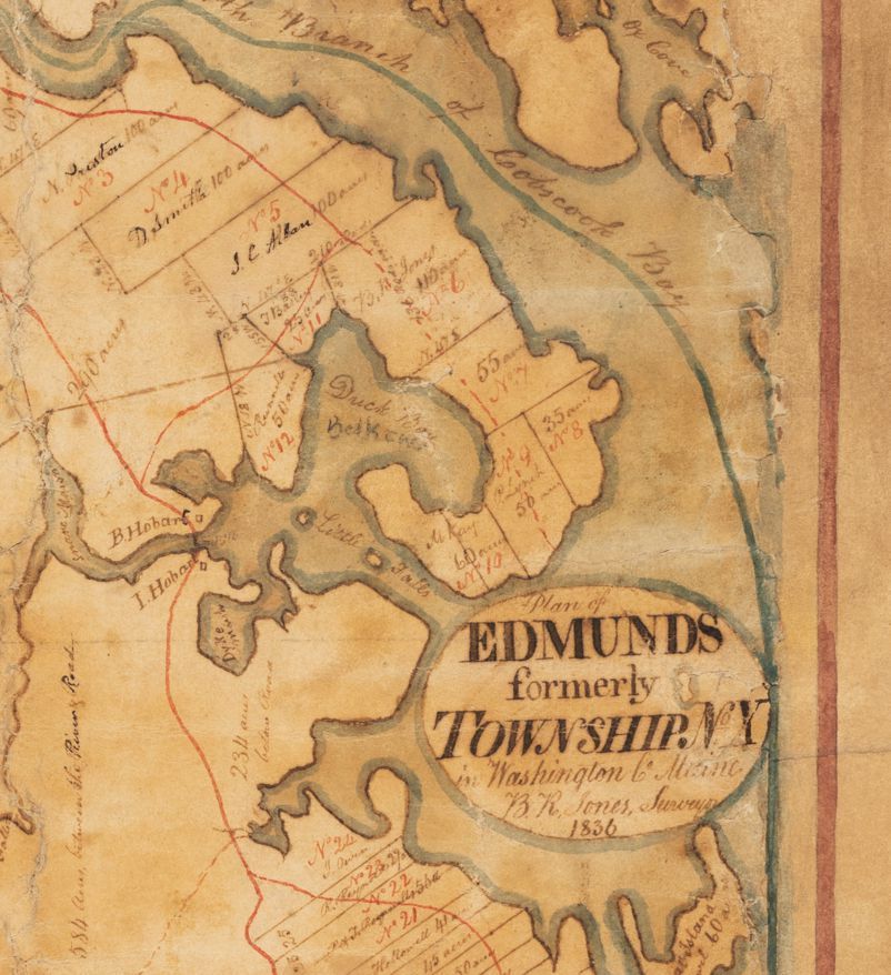
Benjamin R. Jones, Plan of Edmunds, 1836
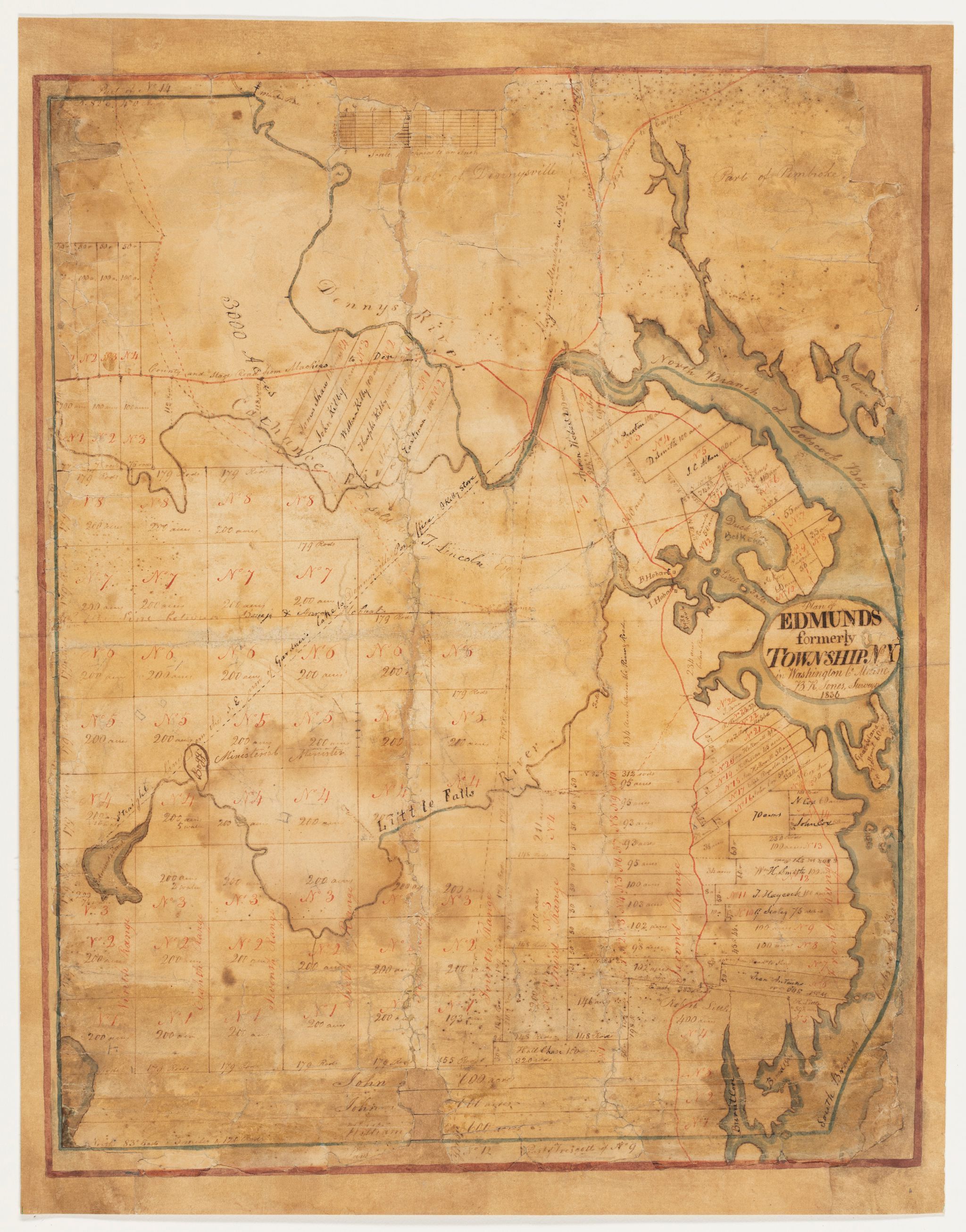
Plan of Edmunds, formerly Township No. 10, Washington Co. Maine, B.R. Jones Surveyor, 1836
A hand drawn map on paper depicting the Town of Edmunds with property lines and inhabitants in the year 1836, by the noted surveyor Benjamin R. Jones.