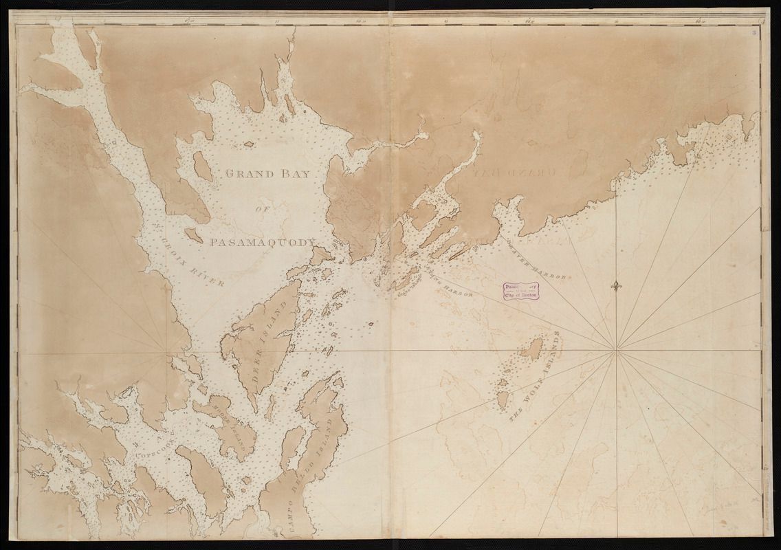
Atlantic Neptune Chart of Cobscook and Passamaquoddy Bays by Joseph F.W. Des Barres, c. 1777
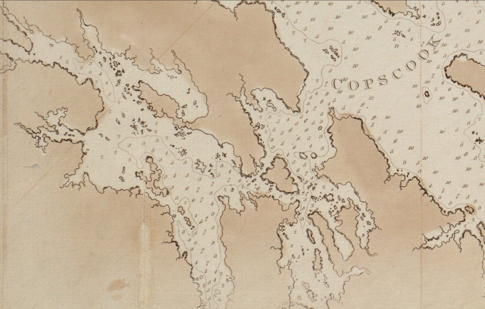
Chart of Dennys Bay, J.F.W. Des Barres, London 1777
Detail of a Chart of Passamaquoddy Bay by Joseph F.W. Des Barres, from the Atlantic Neptune, published in London in 1777, probably surveyed around 1771.