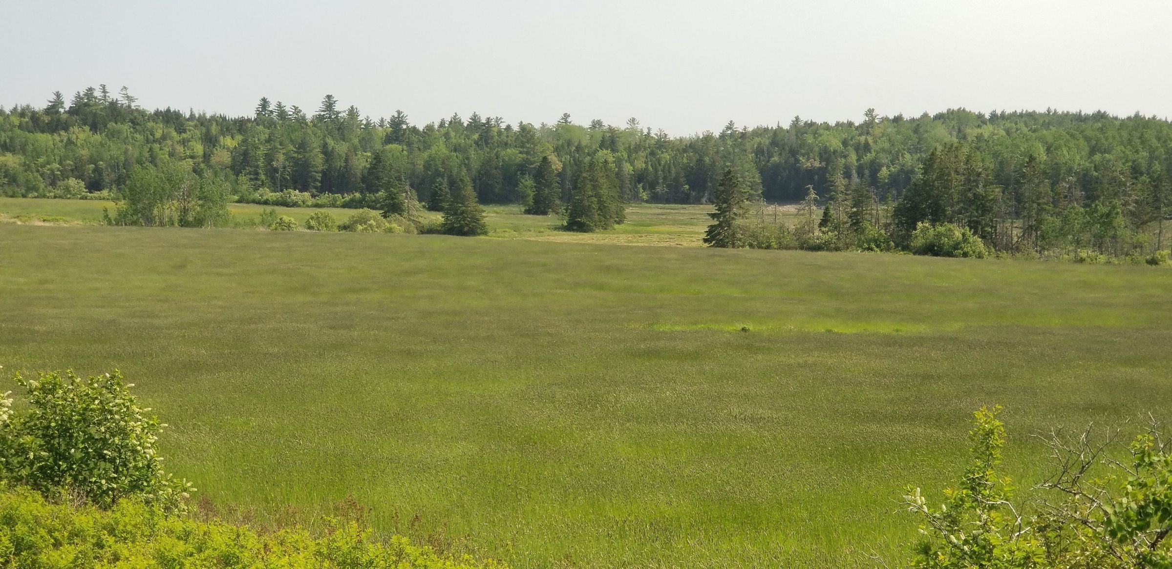
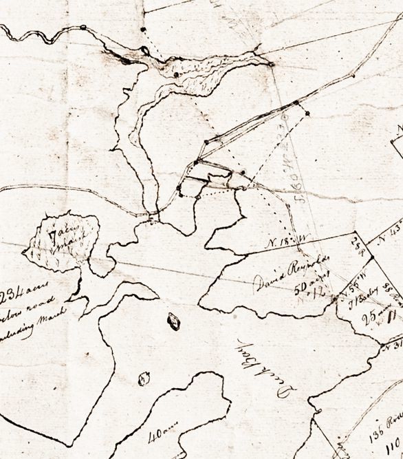
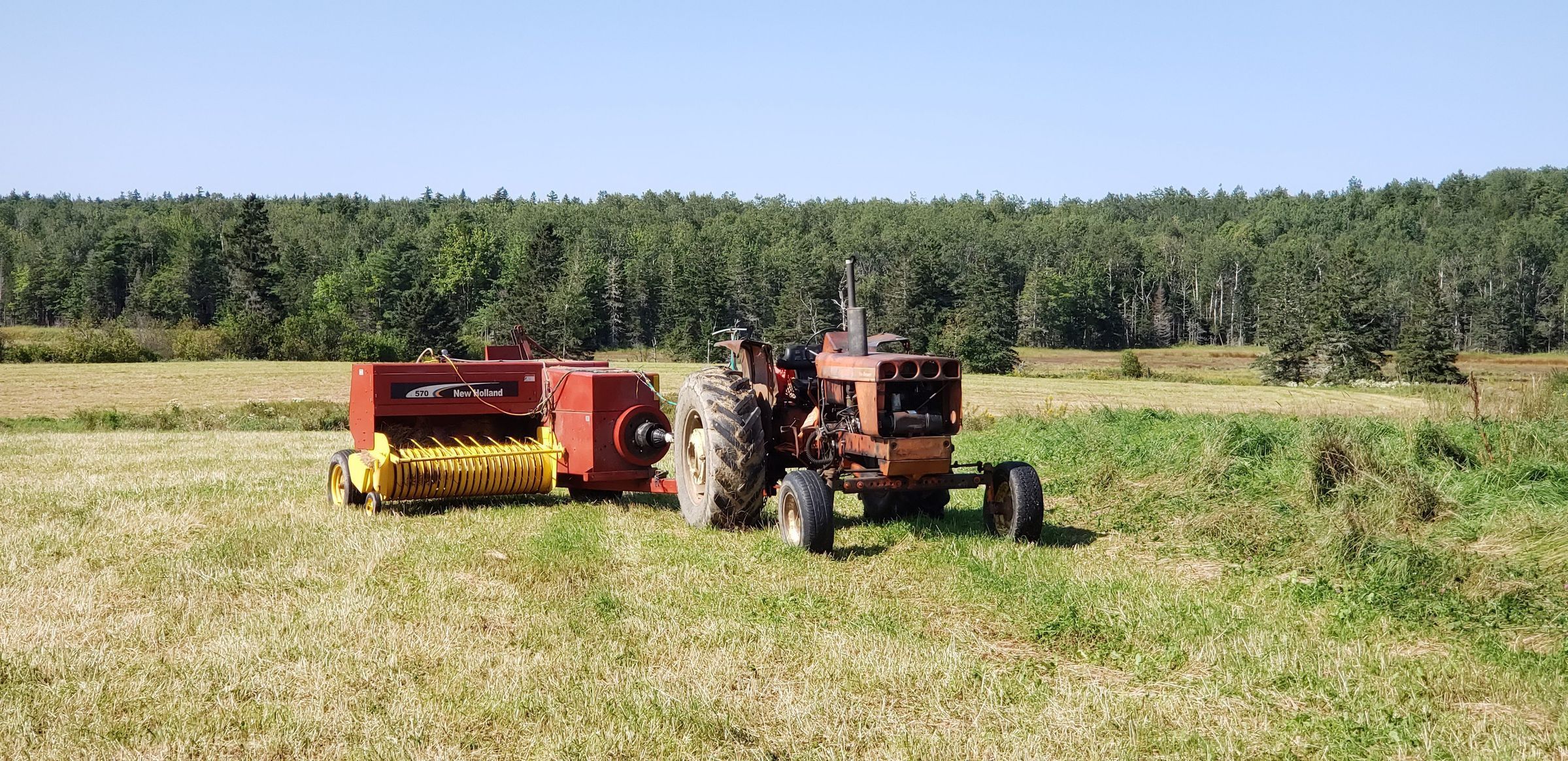
The Marsh on Hobart Stream, Edmunds, Maine
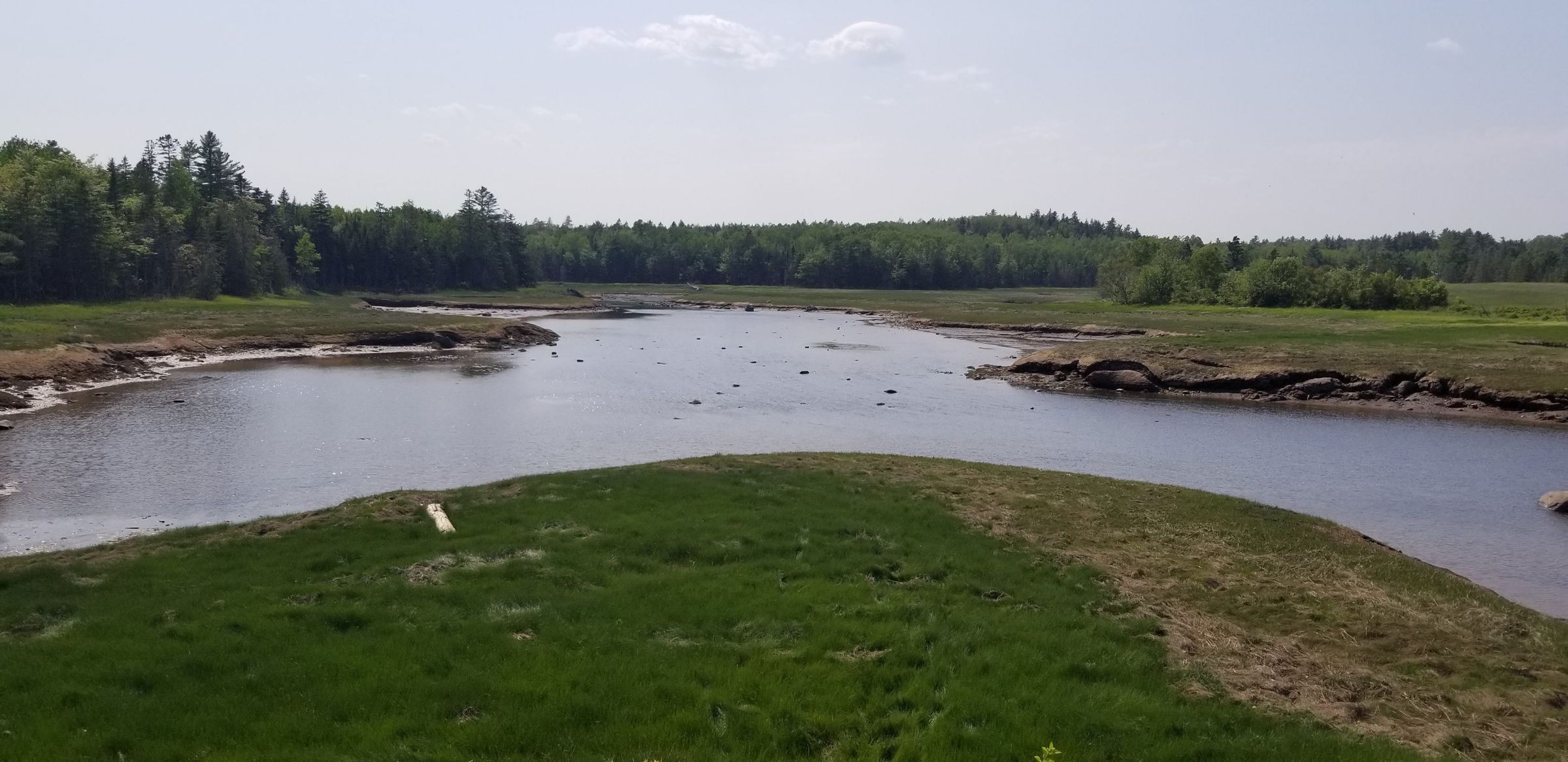
The Marsh on Hobart Stream in Edmunds, Maine
View of the tidal marsh on Hobart Stream, sometimes called "the Mash", where salt hay was harvested from the earliest settlement of the area. The remains of dykes along the western side of the stream, on the right side of the picture, are still visible at low tide.