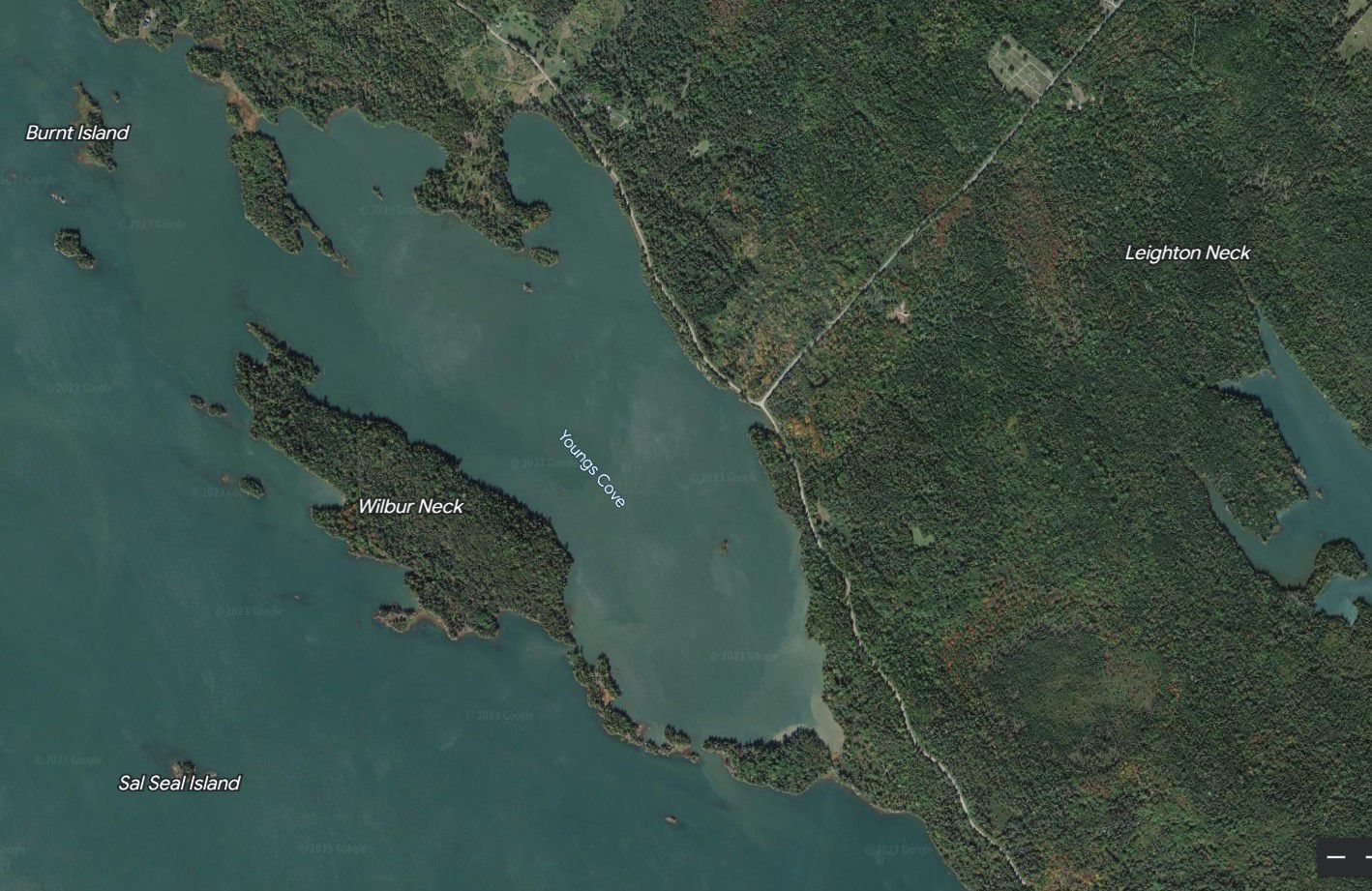
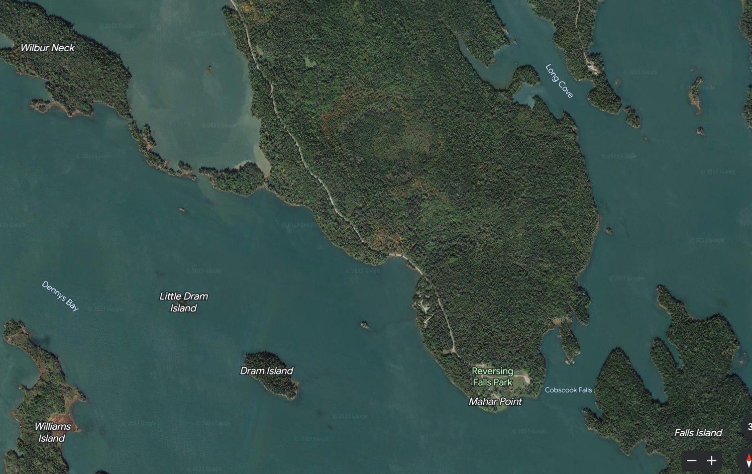
Map of Early Settlers at Young's Cove and Mahar's Point, near Cobscook Bay Reversing Falls, c. 1800
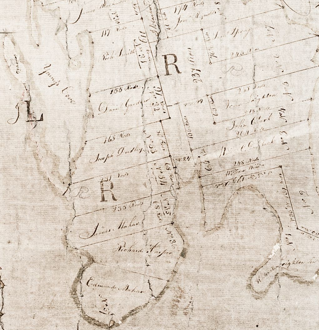
Early Settlers at Young's Cove and Mahar's Point, near Cobscook Bay Reversing Falls.
Detail of a lot map of Township No 2, now Pembroke and Dennysville, Maine, c. 1800.