Solomon Cushing's Big Map-1795
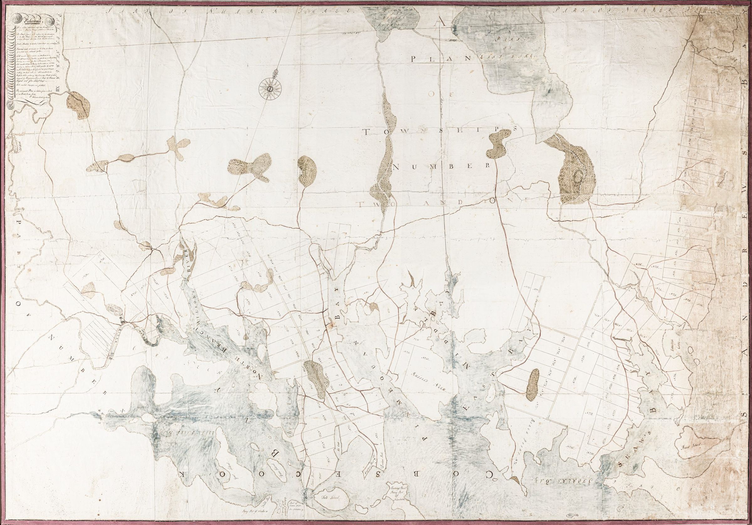
Solomon Cushing's Big Map of Townships No. 1 and 2 in 1797.
Details of settlement are recorded on this big map of what is today comprises the towns of Perry (No. 1) Pembroke and Dennysville (No. 2) in this oversized map produced by Solomon Cushing in 1797. Part of Township No. 10, which became Edmunds, is visible to the bottom left.