Meddybemps Schoolhouses
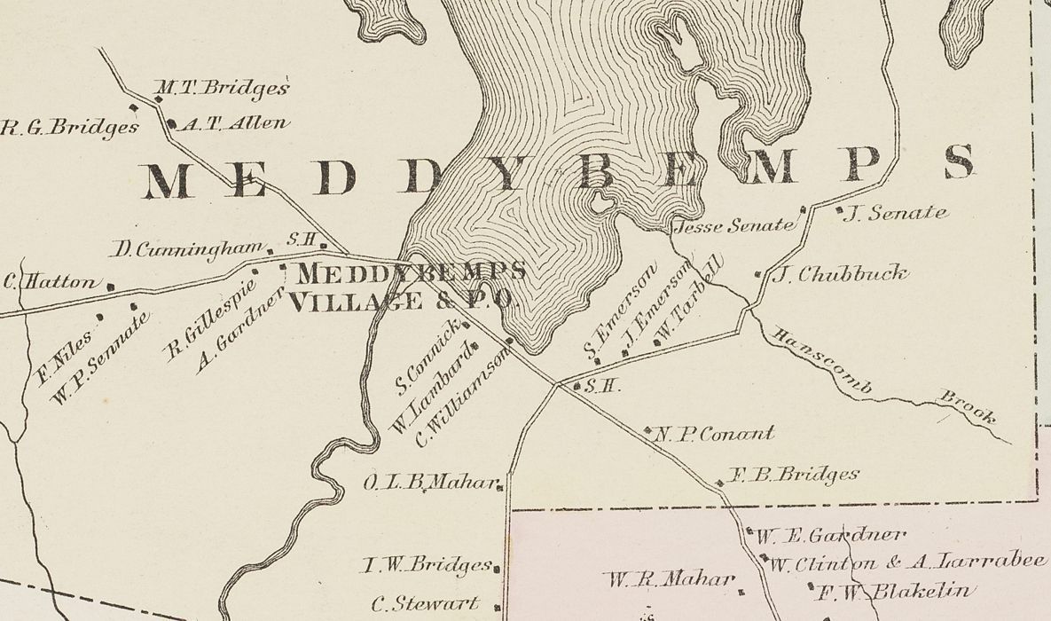
Map of Meddybemps, Maine in 1881
Detail of the Colby Atlas map of Meddybemps, Maine in 1881 shown on p 14 of the Atlas. Two schoolhouses, marked S.H., are located on either side of the village, where the Dennys River flows south from Meddybemps Lake.