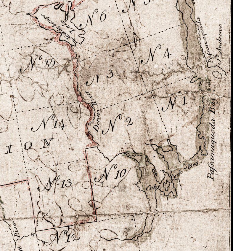
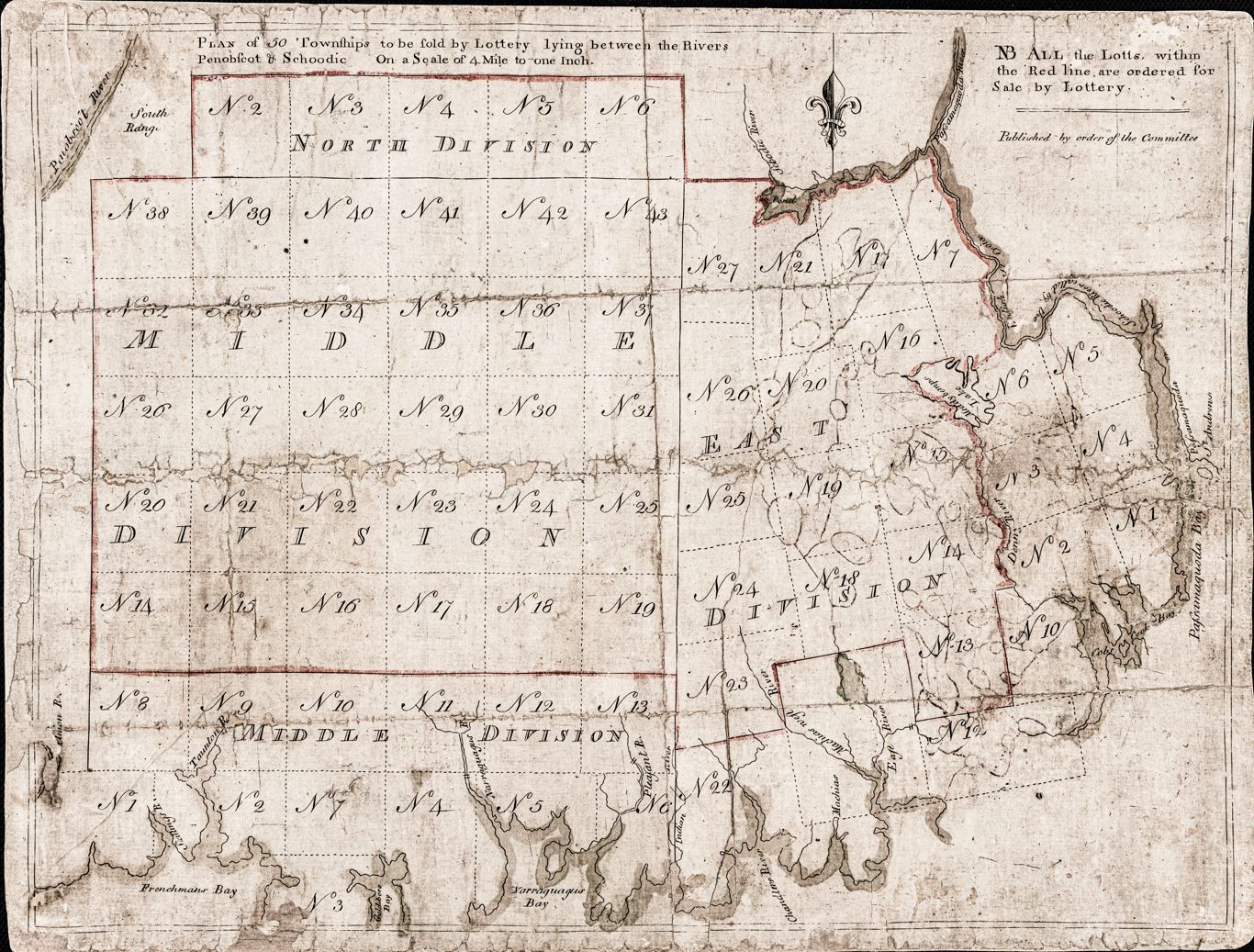
Dennys River Townships, detail from the Lottery Map of 1786, created by Rufus Putnam
Name/Title
Dennys River, Lottery Map detail, 1786
Description
Detail of the Dennys River and adjacent townships on the Lottery Map published by the Massachusetts's legislature's Committee for the Sale of Eastern Lands in 1786. Fifty townships for sale between the Penobscot and Schoodic Rivers are numbered and outlined in red on the Lottery Map created by Rufus Putnam for the General Court in 1786.