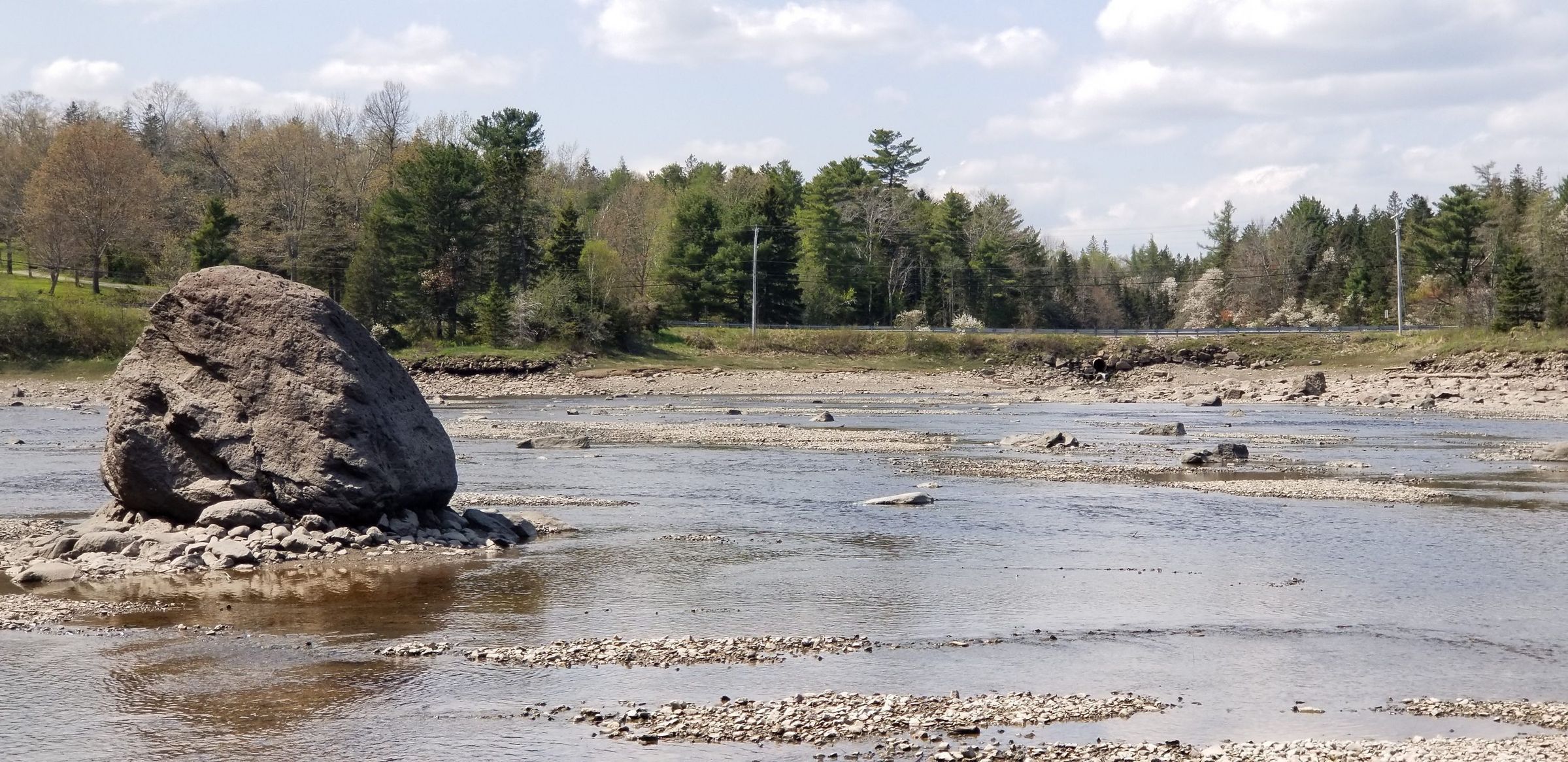
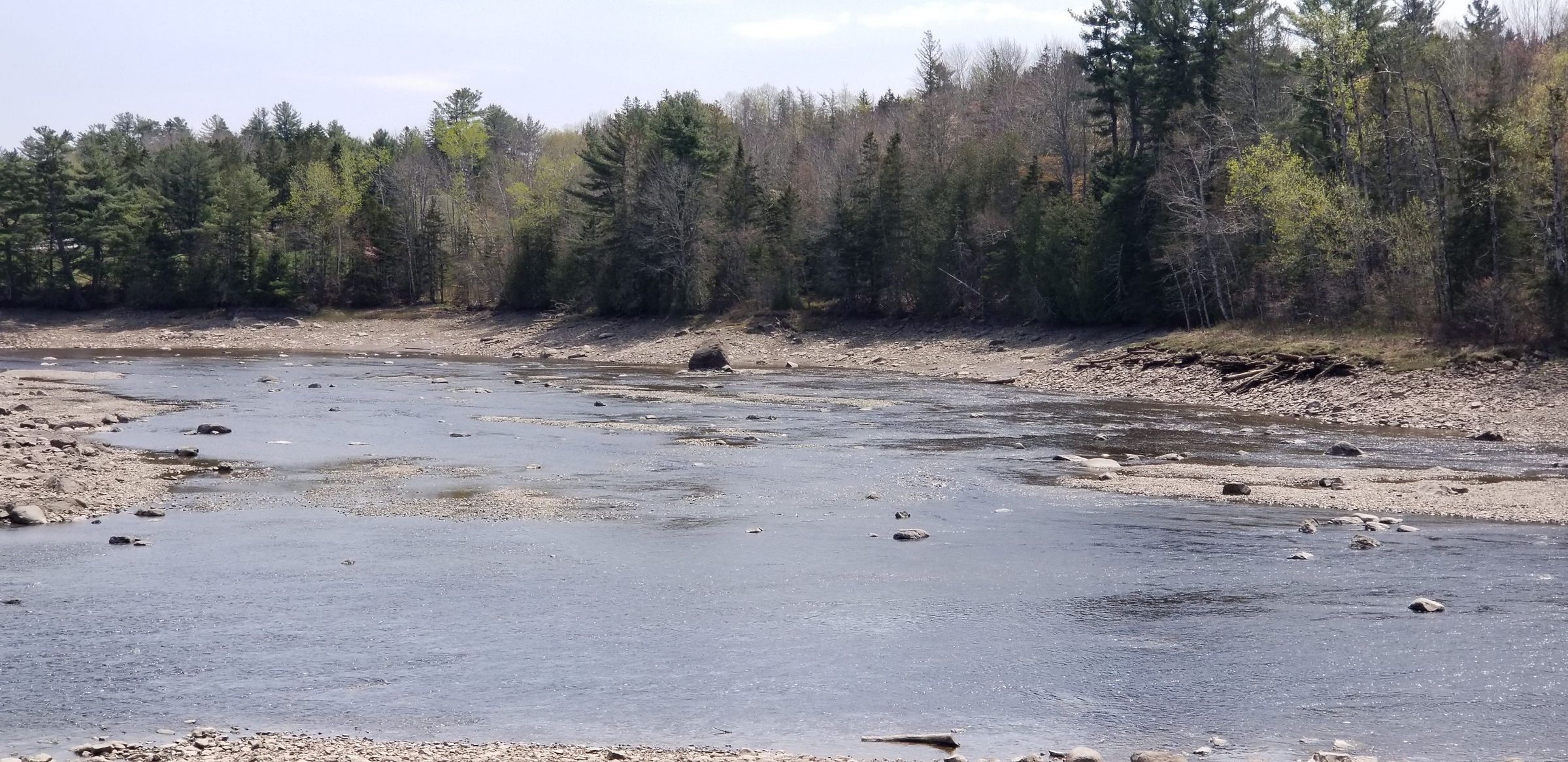
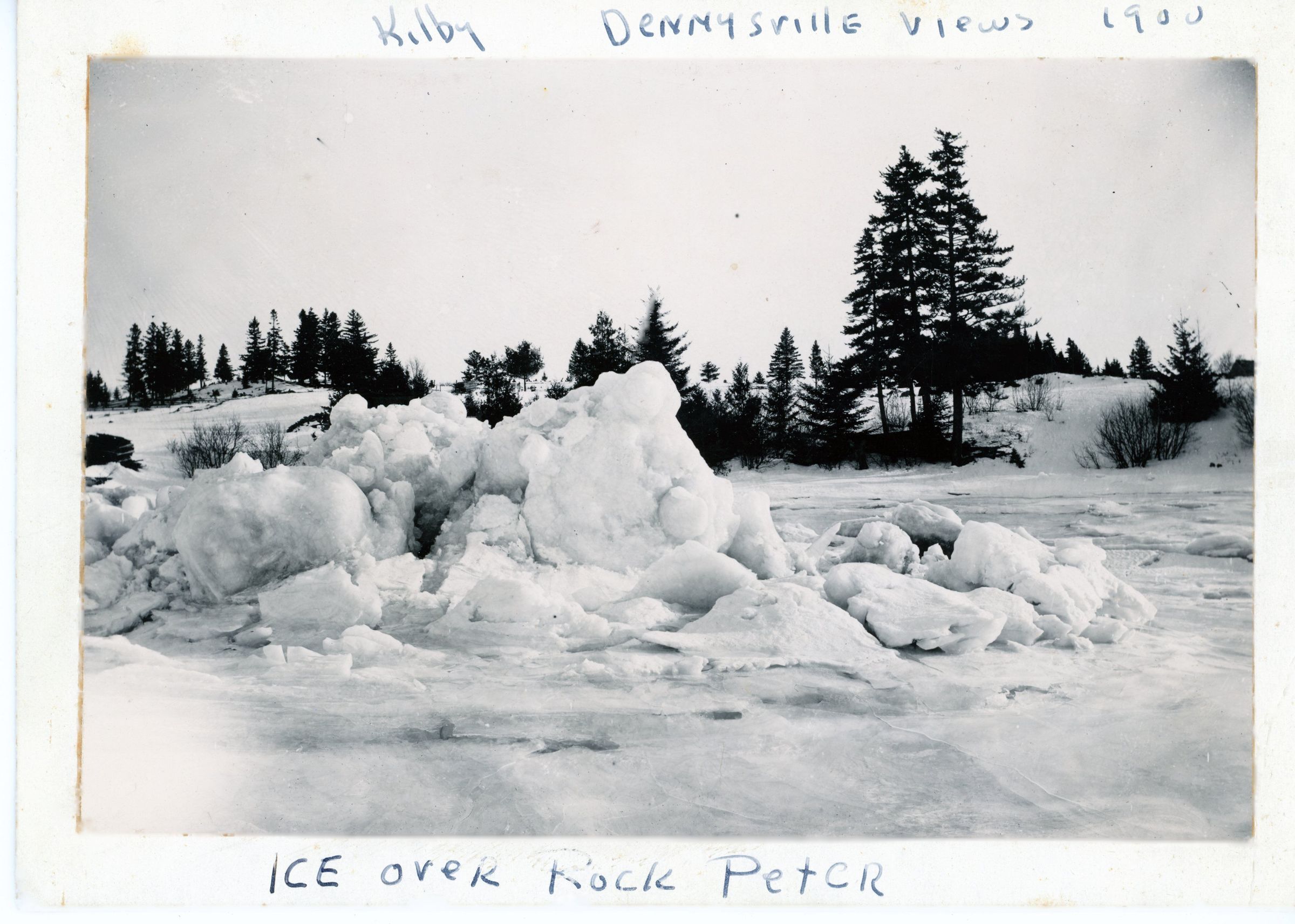
Rock Peter, Dennys River, Maine
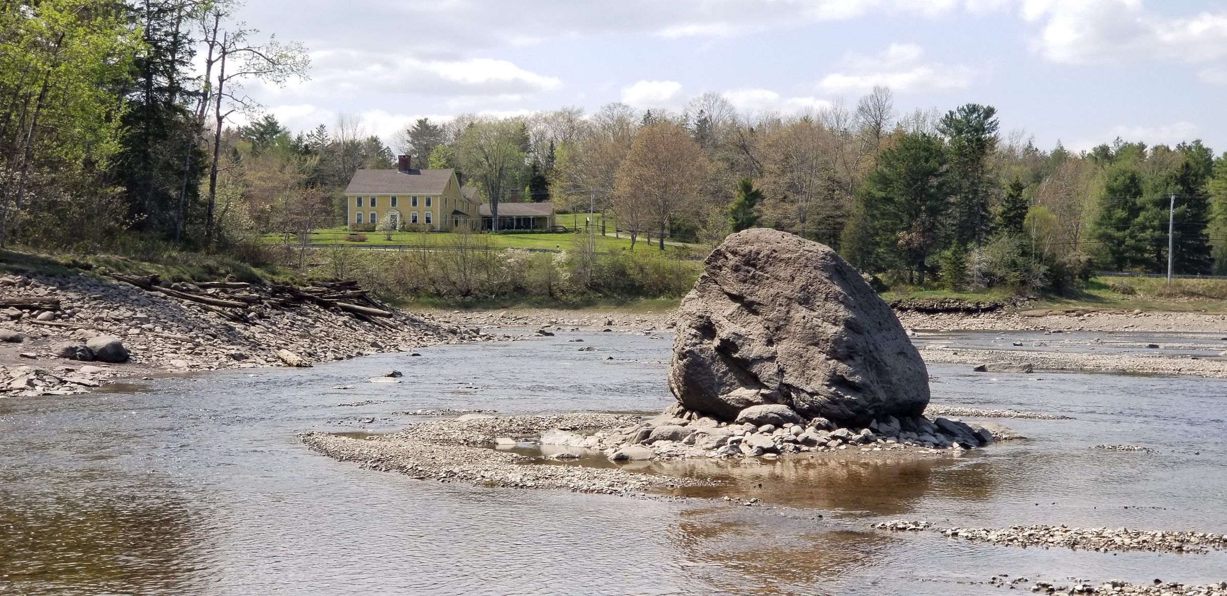
Rock Peter stands sentinel-like on the Edmund side of the Dennys River in eastern Maine, with the remains of T.W. Allan's wharf visible to the left, and the Lincoln House in the distance. As part of the bedrock, Rock Peter served as the origin or starting point for all of the early surveys of the local area.