Name/Title
Shaw Meadow MarshDescription
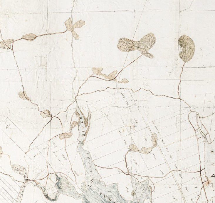
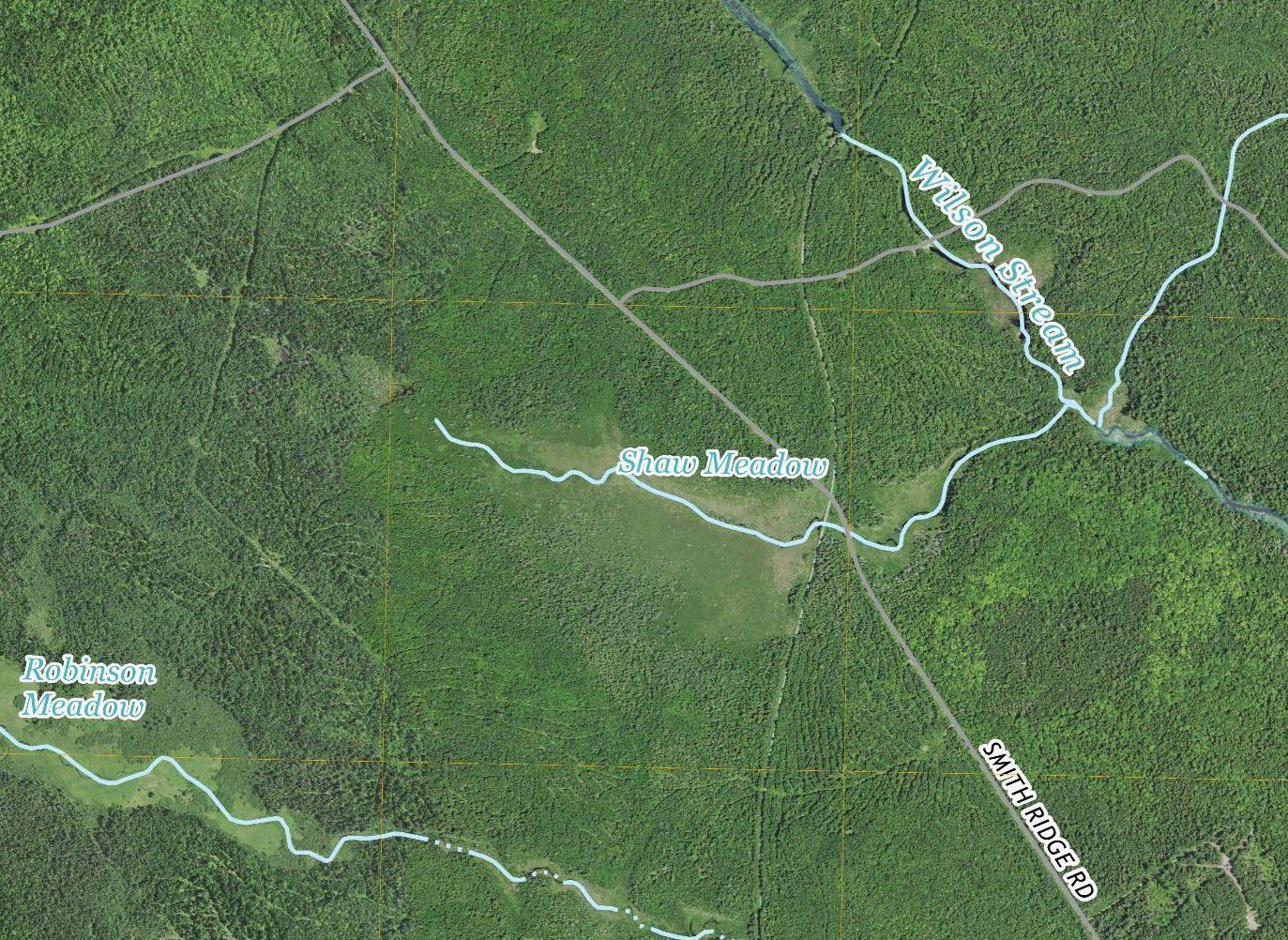
Two maps made over two hundred years apart underline the enduring importance of marshes in the human and natural environment. Solomon Cushing's big map from 1798 provides careful outlines of the all of the known marshes in Townships No. 1 and 2, later Perry, Pembroke and Dennysville, while the aerial map created by the United Sates Geologic Survey in 2021 gives a high level of photographic detail.Context
Marshes were important in the early development of the Dennys River area, being carefully named and recorded on early maps and deeds. The Shaw Meadow Marsh was crossed by the Smith Ridge Road, and more recently, by the Sunrise Trail following the old Washington County Railroad bed.