Name/Title
Hand Drawn Map of SF Bay and Club Swim DistancesEntry/Object ID
Artifact 231Tags
Artwork, SwimmingDescription
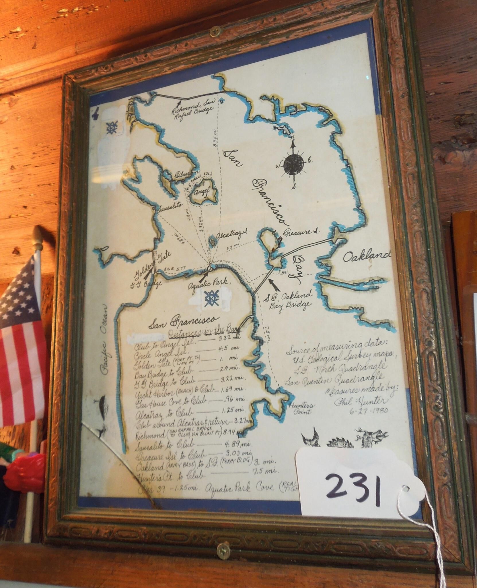
Framed map of SF Bay with landmark distances listed. Small image of Loch Ness monster in left low corner. Brown wood frame screwed to wall.
Hand drawn outline of boundaries of SF bay and area outside of Golden Gate, white paper with blue and black and gold ink.
Map made by Phil Hunter.
Hand written inscription lower right: "Source of measuring data U.S. Geological Survey maps, S.F. North Quadrangle, San Quentin Quadrangle, Measures made by Phil Hunter 6-27-80"Made/Created
Date made
June 27, 1980Notes
Cataloged by Crissa Williams 6/4/17Location
Wall
East wallRoom
Main BoathouseCondition
Overall Condition
PoorNotes
Glass plate over image is cracked in lower right corner