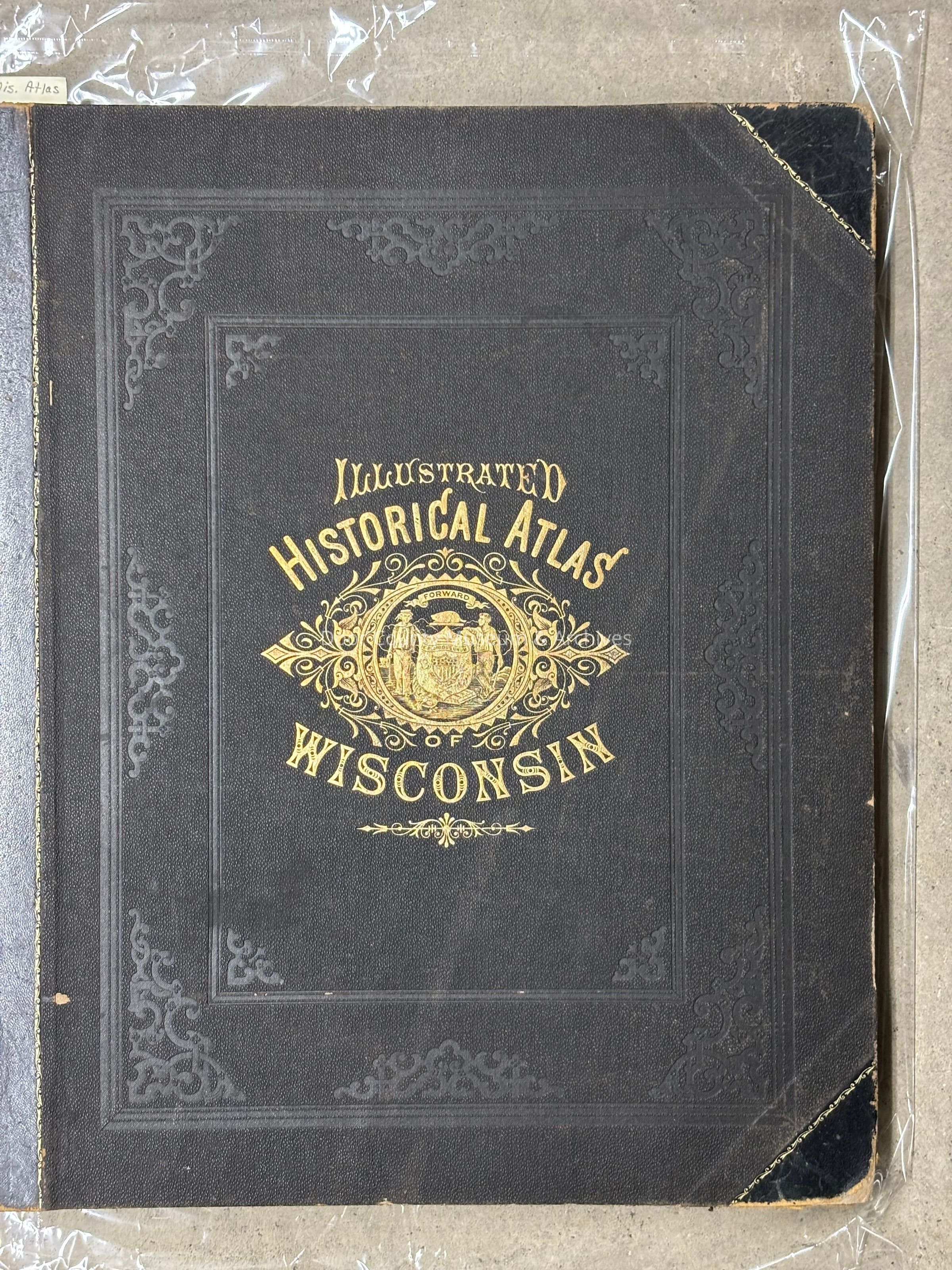
Name/Title
Atlas of Wisconsin - 1878Entry/Object ID
2002.03.0024Scope and Content
Historical Atlas of Wisconsin embracing complete State and County Maps, City and Village Plats, together with separate State and County Histories; also special articles on the Geology, Education, Agriculture, and other important interests of the state. Illistrated.
Physical Characteristics: l large hardbound book, 15" x 18" x 1 1/2" thick; 322 pgs.Collection
Door County Archives Map CollectionCataloged By
Sally TreichelAcquisition
Accession
2002.03Source or Donor
Orv SchopfAcquisition Method
GiftLexicon
Nomenclature 4.0
Nomenclature Secondary Object Term
AtlasNomenclature Primary Object Term
CartographNomenclature Sub-Class
Graphic DocumentsNomenclature Class
Documentary ObjectsNomenclature Category
Category 08: Communication ObjectsSearch Terms
Book, Maps, WisconsinArchive Details
Date(s) of Creation
1878Archive Size/Extent
1 large bookPrimary Language
EnglishArchive Notes
Early Create Date: 1878
Date(s): 1878
Level of Description: Item
Publication Notes: Compiled and published by Snyder, Van Vechten & Co. - Milwaukee.Create Date
December 28, 2002Update Date
September 23, 2026