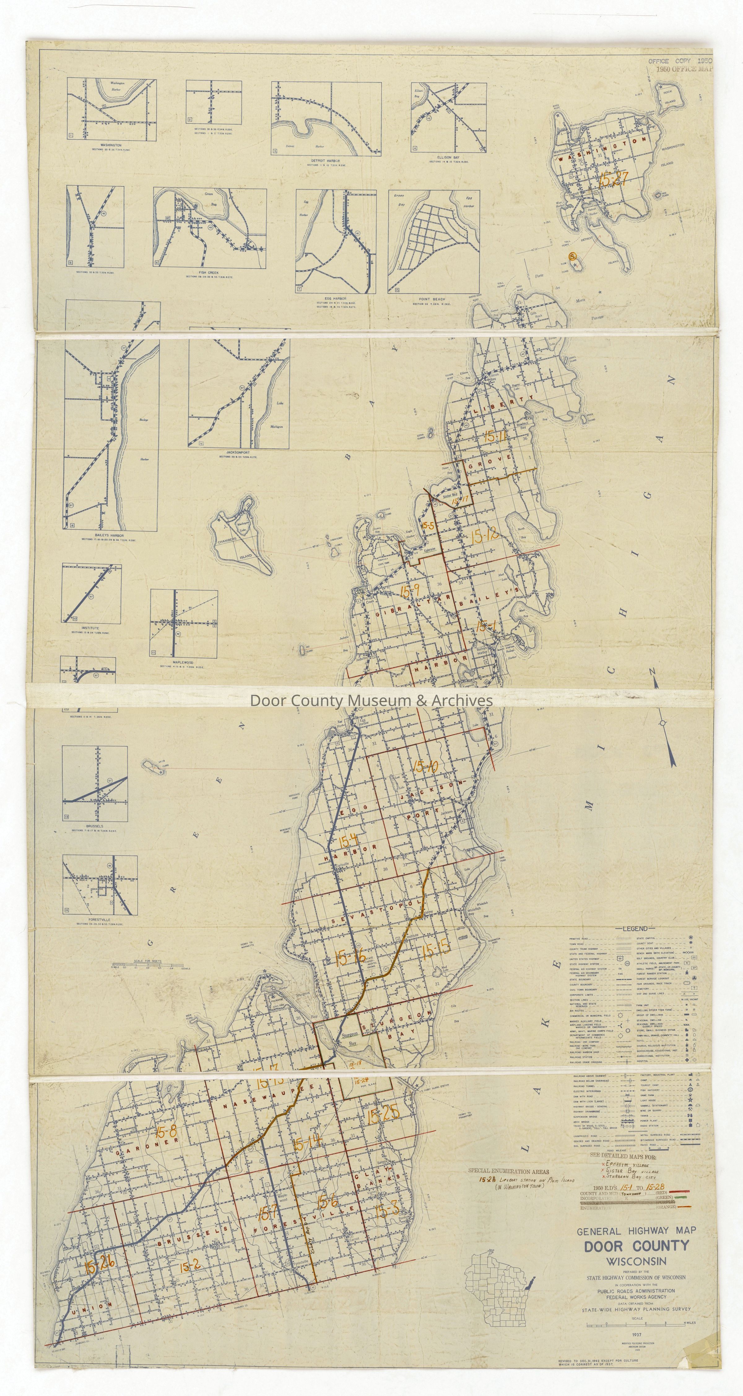
Highway map for Door County issued by the State Highway Commission of Wisconsin. The map is labeled as 1937 but is dated Dec. 31, 1949. (3 copies)
Physical Characteristics: 3 sheets, 36" x 66"
Collection
Door County Archives Map Collection
Cataloged By
Sally Treichel
Acquisition
Accession
1997.27
Source or Donor
Door County Historical Society - Ex. Coll.
Acquisition Method
Gift
Lexicon
Nomenclature 4.0
Nomenclature Secondary Object Term
Map
Nomenclature Primary Object Term
Cartograph
Nomenclature Sub-Class
Graphic Documents
Nomenclature Class
Documentary Objects
Nomenclature Category
Category 08: Communication Objects
Search Terms
Maps, Door County, Highway
Map Details
Date Published
1937
Publication Language
English
Map Notes
Early Create Date: 1937
Date(s): 1937
Date(s) Assembled: 1937
Level of Description: Item
Other Names and Numbers
Other Numbers
Number Type
Old Number
Other Number
1997.02.007
Parts
3 maps
Condition
Overall Condition
Good
Relationships
Related Publications
Notes
Labeled 1937 but dated 1949 - perhaps this map was a copy of the 1937 highway map and reissued in 1949?
General Notes
Note
Condition Notes - 1997: One of the 3 copies is ripped.
Status: OK