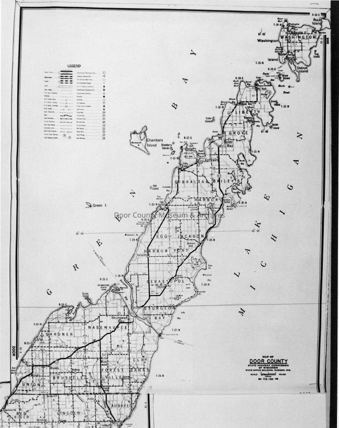
Name/Title
Door County Highway Map - 1950Entry/Object ID
1997.02.129Description
Door County Highway Map, Feb. 1950, produced by the State Highway Commission of Wisconsin, State Office Building, Madison, WI.Collection
Door County Archives Photo CollectionCataloged By
Sally TreichelAcquisition
Accession
1997.27Source or Donor
Door County Historical Society - Ex. Coll.Acquisition Method
GiftLexicon
Nomenclature 4.0
Nomenclature Secondary Object Term
Print, PhotographicNomenclature Primary Object Term
PhotographNomenclature Sub-Class
Graphic DocumentsNomenclature Class
Documentary ObjectsNomenclature Category
Category 08: Communication ObjectsSearch Terms
Maps, Door County, HighwayOther Names and Numbers
Other Numbers
Number Type
Other NumberOther Number
97.15Location
Location
Building
Office/Photo FileCategory
PermanentDate
September 26, 2025Create Date
September 2, 2000Update Date
July 7, 2026