Name/Title
Door County, Wis. MapsEntry/Object ID
1997.02.068Description
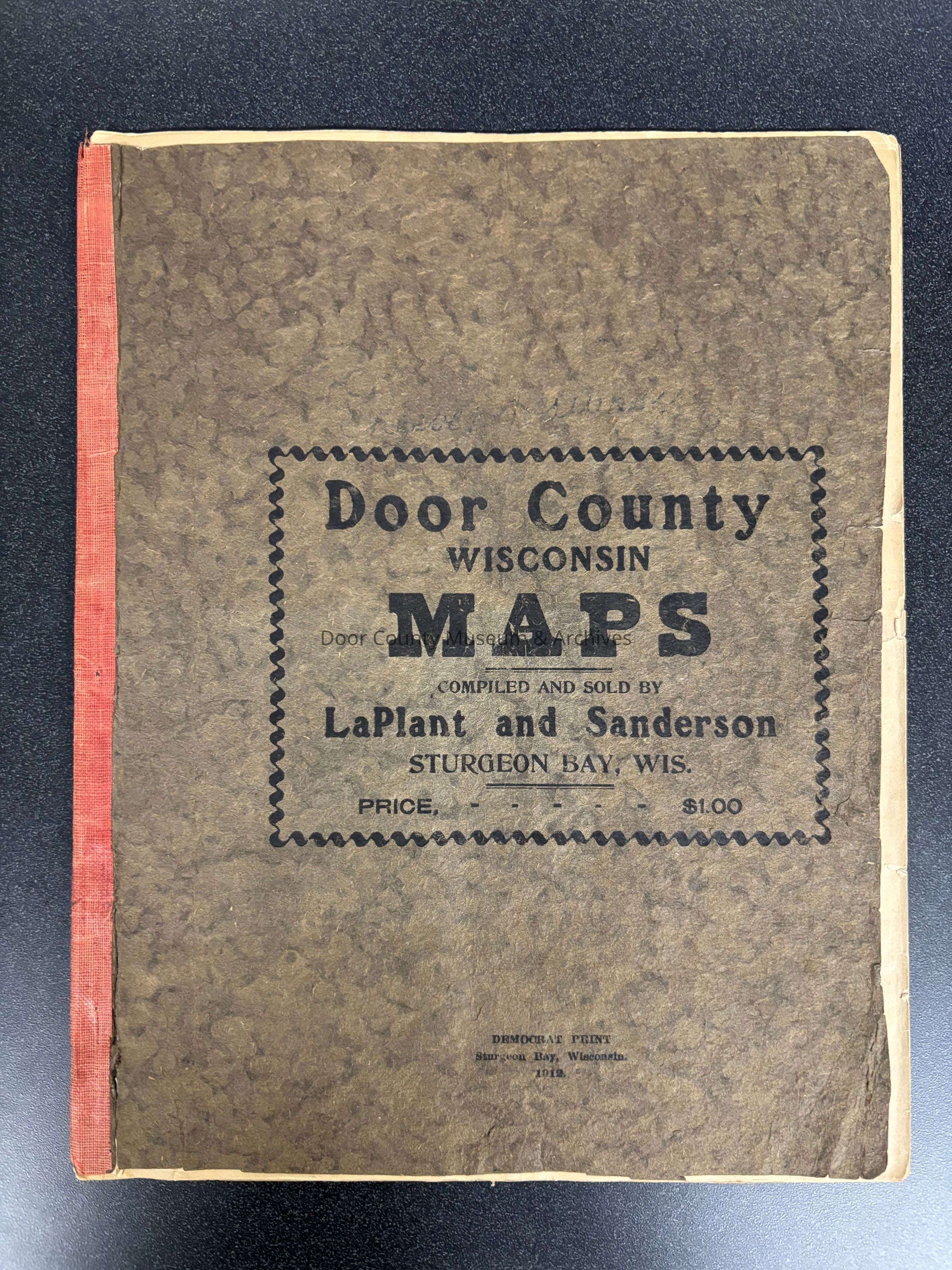
Door County, Wis. Maps. Compiled and sold by LaPlant and Sanderson of Sturgeon Bay. Democrate Print - 1912. Contains town maps showing section numbers, location of schools by district numbers, churches, businesses, post offices, cemeteries and town halls, along with advertisements
Physical Characteristics: 1 soft bound booklet, 8 3/4" x 11" x 1/8" thick, 30 pages, stapled, in 1 folder.Collection
Door County Archives Map CollectionCataloged By
Sally TreichelAcquisition
Accession
1997.27Source or Donor
Door County Historical Society - Ex. Coll.Acquisition Method
GiftLexicon
Search Terms
Maps, Plat Map, Door CountyLocation
Category
PermanentDate
September 26, 2025Provenance
Notes
Custodial History: Originally owned by C. C. Hawkey, Sturgeon Bay.Create Date
May 12, 2002Update Date
August 5, 2026