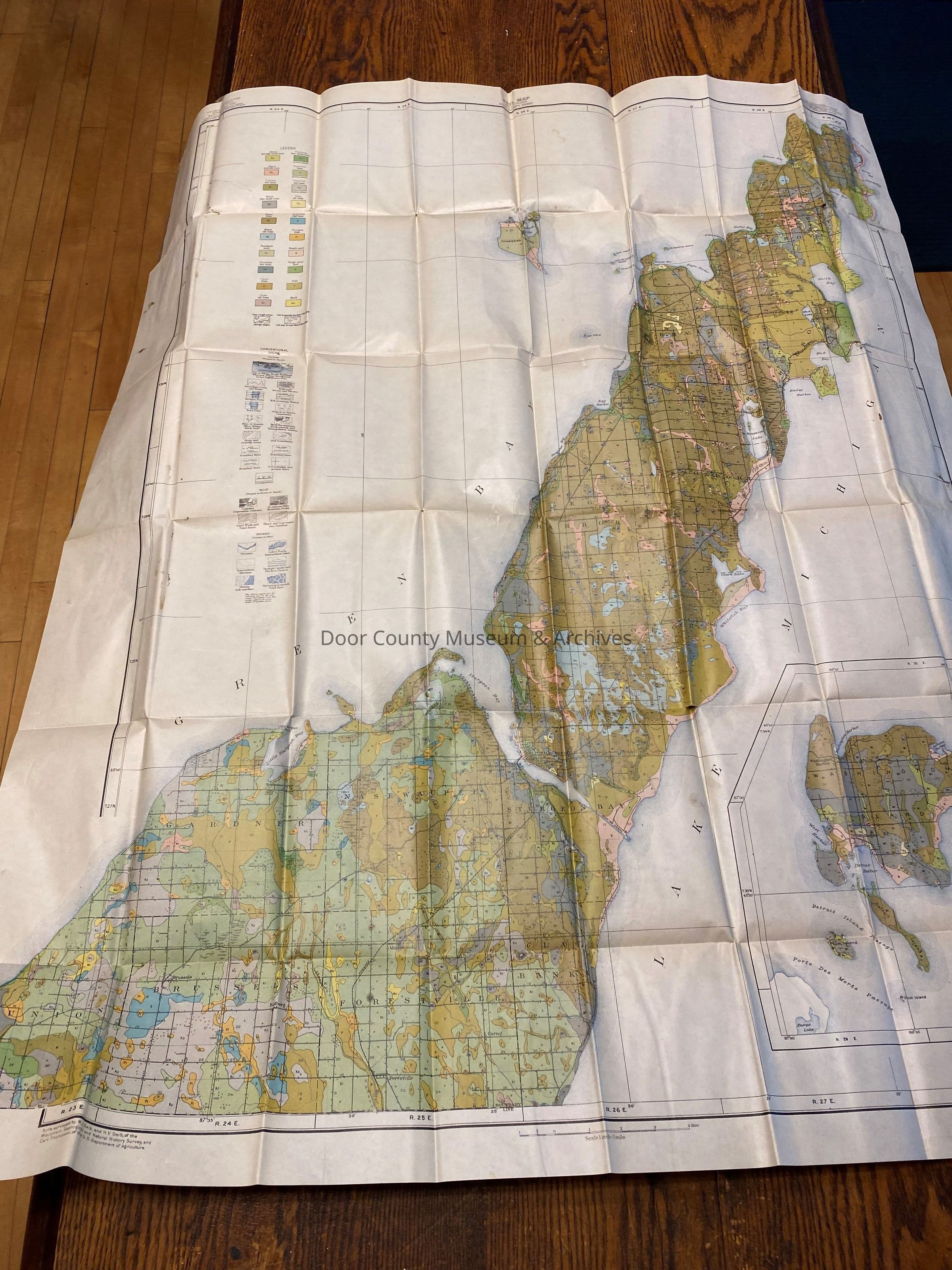
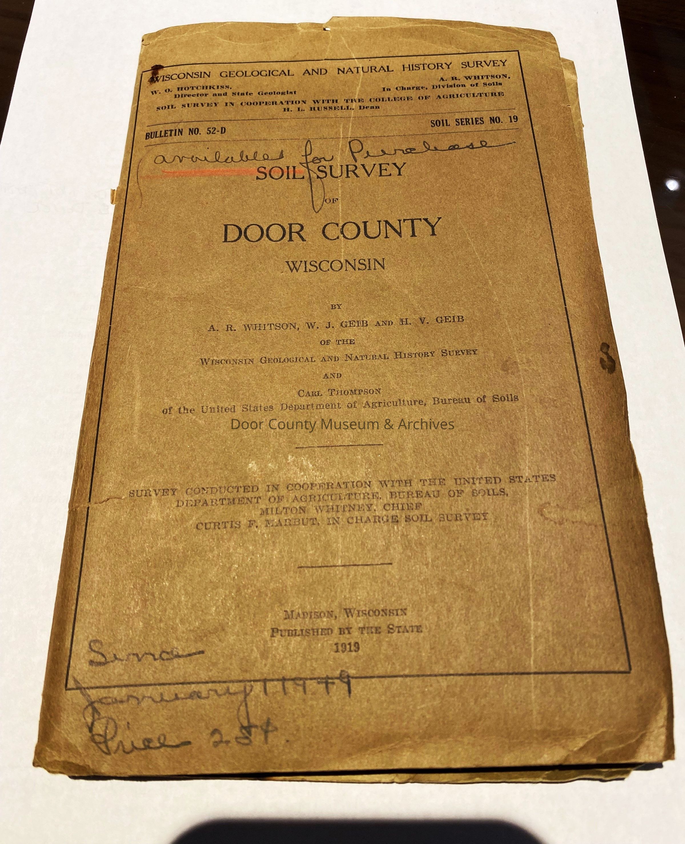
Door County Soil Survey Map - 1919

Name/Title

Door County Soil Survey Map - 1919

Entry/Object ID

2024.5.1

Description

1919 Door County Soil Survey map from the Wisconsin Geologic and Natural History Survey. Folded size is 9"x5.5", unfolded measures 38" wide X 46 1/4" tall.

Collection

Maps

Cataloged By

JT

Acquisition

Accession

2024.5

Source or Donor

Marguerite Skahen

Acquisition Method

Gift

Lexicon

Nomenclature 4.0

Nomenclature Secondary Object Term

Map

Nomenclature Primary Object Term

Cartograph

Nomenclature Sub-Class

Graphic Documents

Nomenclature Class

Documentary Objects

Nomenclature Category

Category 08: Communication Objects

LOC Thesaurus for Graphic Materials

Farming, Soil, Maps, Geology

Search Terms

farming, soil, maps, geology, survey, map
Condition

Overall Condition

Good

Date Examined

May 29, 2024

Examined By

JT

General Notes

Note

Notes: Doner does not want to be credited with the donation if it goes on display. Status: OK Status By: JT Status Date: 2024-05-29

Create Date

May 29, 2024

Update Date

July 7, 2026