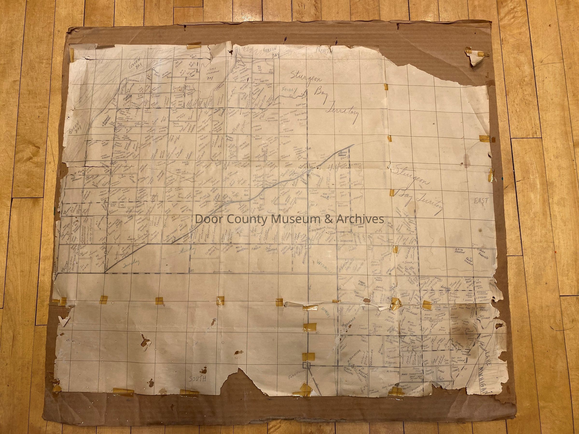
Map of fuel oil route in southern Door County. Covers area just south of Sturgeon Bay from Little Sturgeon to Clay Banks. Has hand drawn names of all people living in area. Map Originally passed on from Bill Schleg of Forestville.
Collection
Maps
Cataloged By
Joe Taylor
Acquisition
Accession
2023.29
Source or Donor
Jennifer Kaser
Acquisition Method
Gift
Lexicon
Nomenclature 4.0
Nomenclature Secondary Object Term
Map
Nomenclature Primary Object Term
Cartograph
Nomenclature Sub-Class
Graphic Documents
Nomenclature Class
Documentary Objects
Nomenclature Category
Category 08: Communication Objects
Search Terms
map, Forestville, Maplewood, fuel oil, route, Gardner, business, hand drawn, Little Sturgeon, delivery