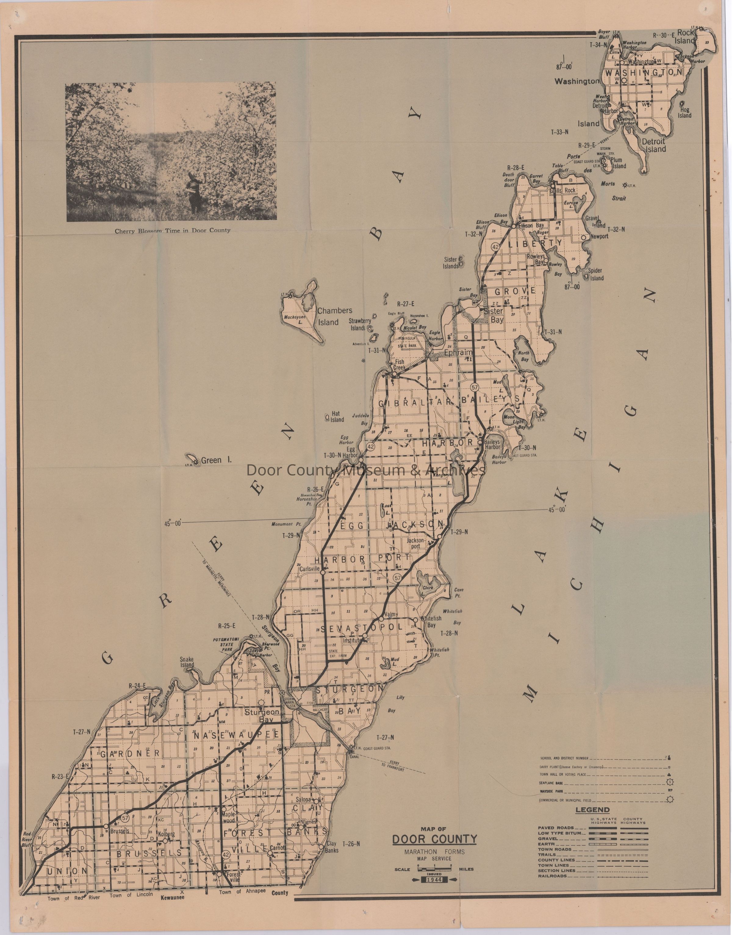
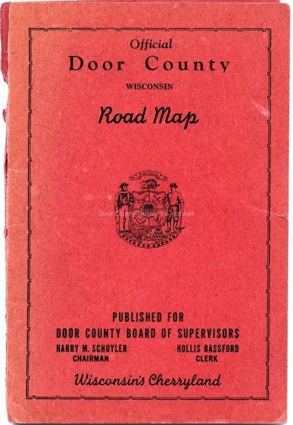
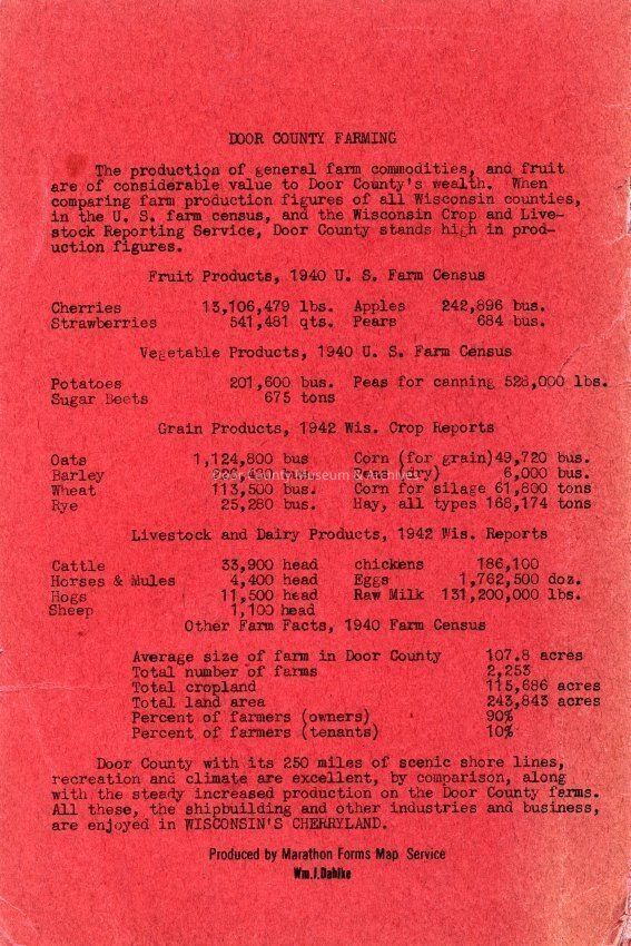
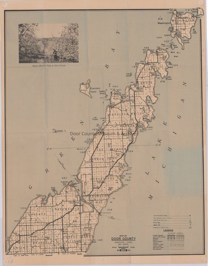
Official Door County Wisconsin Road Map c. 1944

Name/Title

Official Door County Wisconsin Road Map c. 1944

Entry/Object ID

2017.202.001

Description

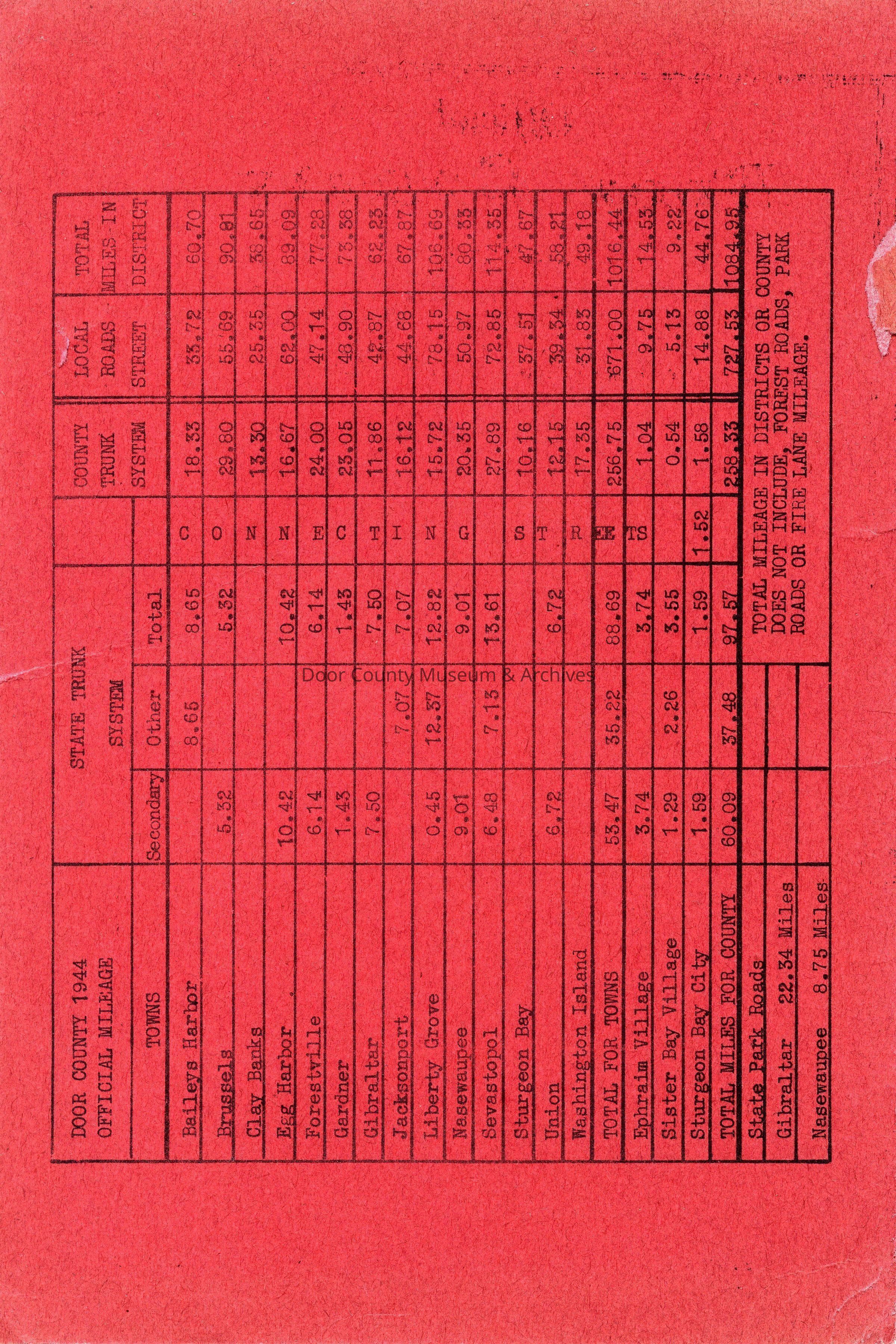
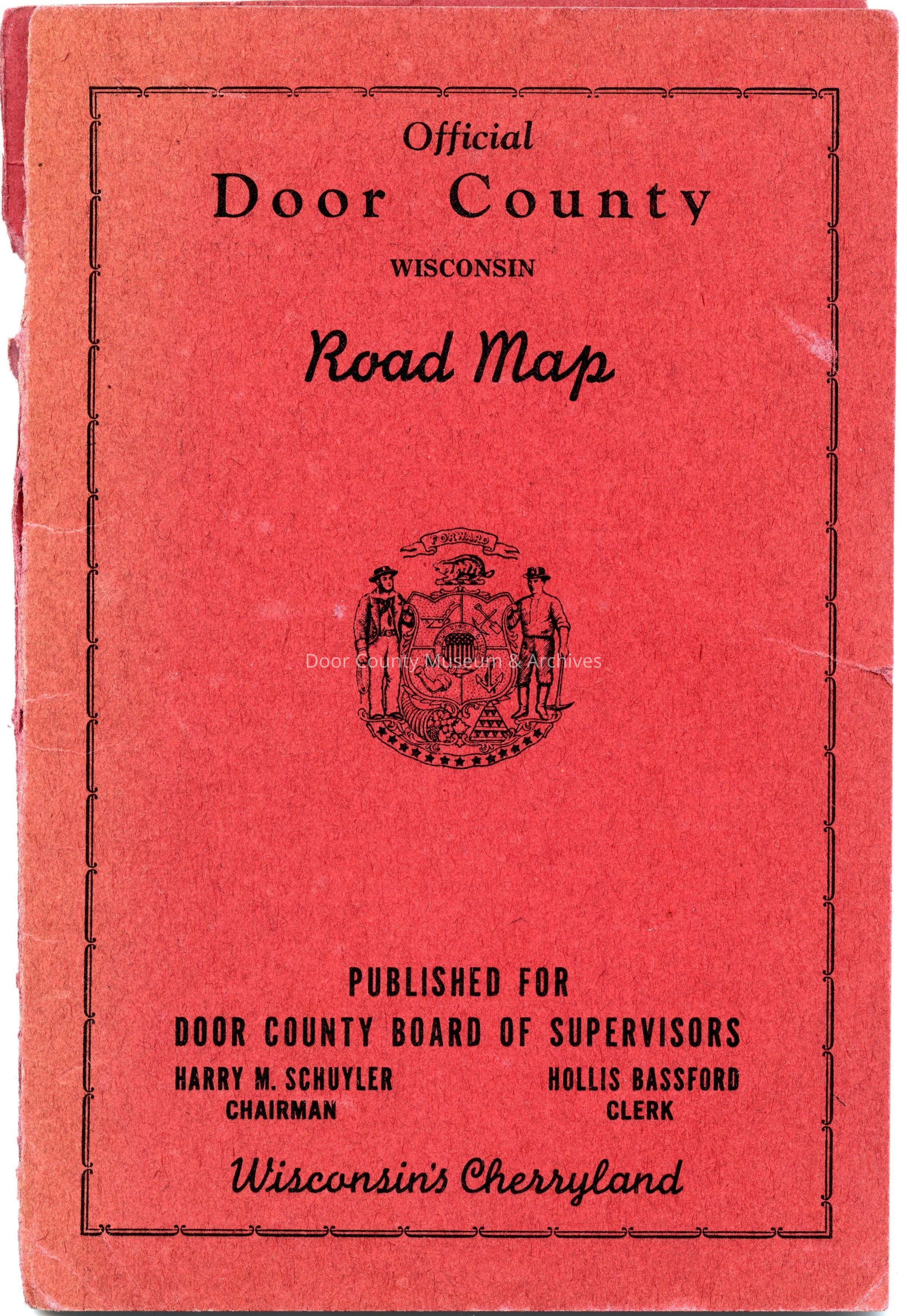
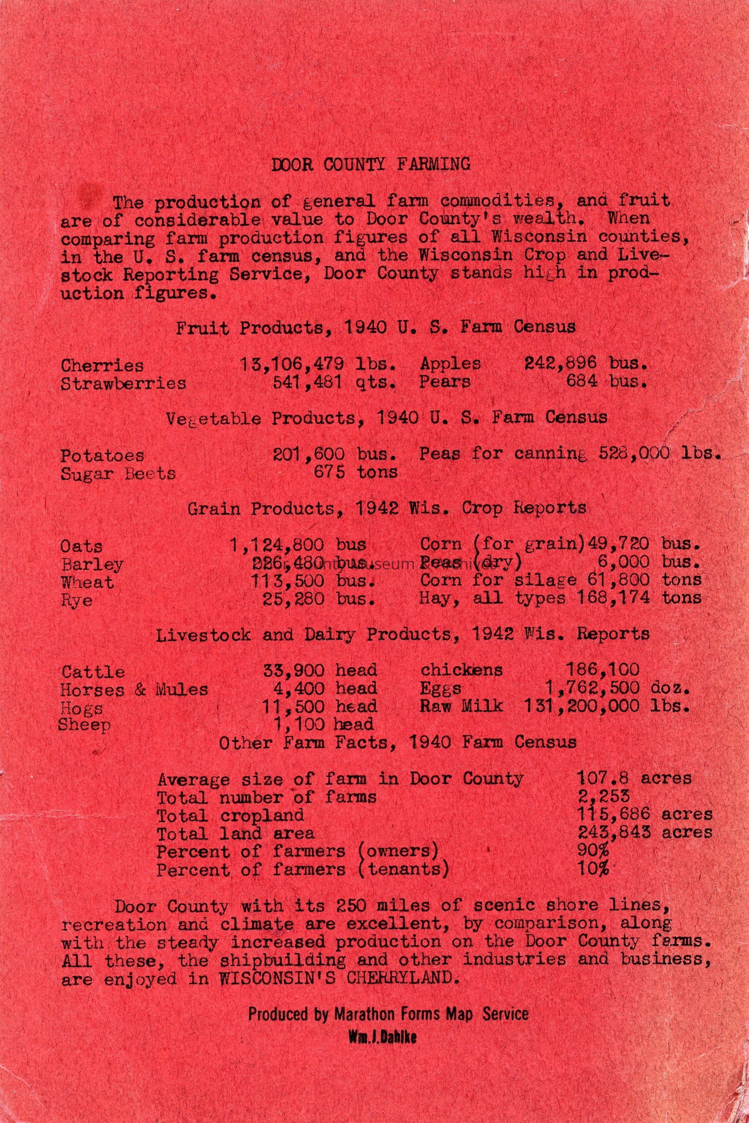
Published by the Door County Board of Supervisors Produced by Marathon Forms Map Service Wm. J. Dahlke Physical Characteristics: Fold out map 22" L x 17" W folded down to 5½" L x 3¼" W Map of Door County, Wisconsin in a red cardstock cover 6 1/8" L x 4" W

Collection

Maps

Cataloged By

MG

Acquisition

Accession

2017.202

Source or Donor

Door County Government Center

Acquisition Method

Gift

Lexicon

Nomenclature 4.0

Nomenclature Tertiary Object Term

Map, Road

Nomenclature Secondary Object Term

Map

Nomenclature Primary Object Term

Cartograph

Nomenclature Sub-Class

Graphic Documents

Nomenclature Class

Documentary Objects

Nomenclature Category

Category 08: Communication Objects
Maintenance

Maintenance History

Date

Aug 7, 2018

General Notes

Note

Status: OK Status By: MG Status Date: 2017-07-11

Create Date

August 7, 2018

Update Date

July 7, 2026