Name/Title
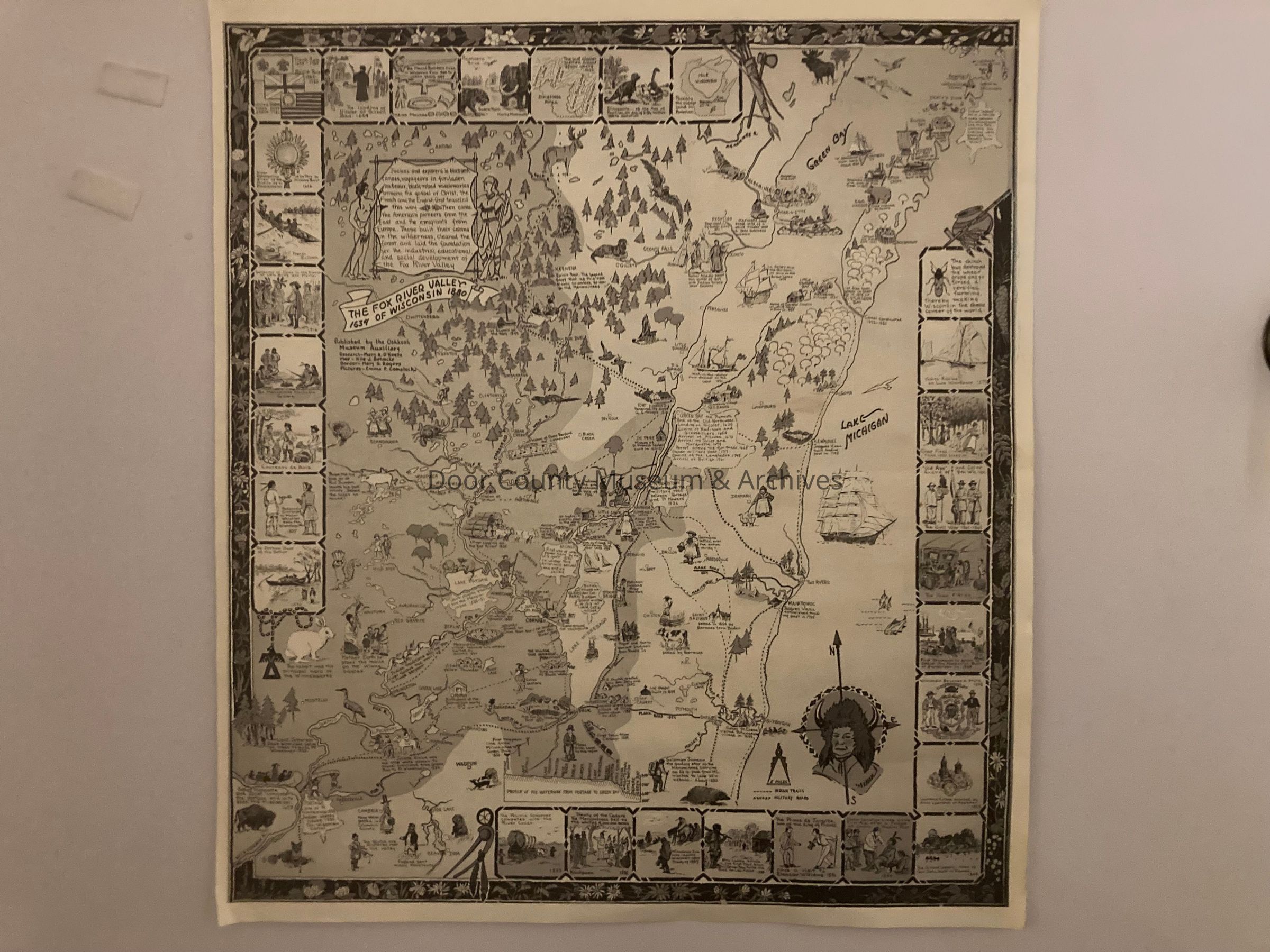
Map of "The Fox River Valley of Wisconsin 1634 - 1880"Entry/Object ID
2023.4.17Description
Black and white illustrated map of the Fox River Valley of Wisconsin from of 1634 to 1880. Map features various illustrations of important moments in the history of Wisconsin during the given time periods listed above. Map is in overall excellent condition with only minor signs of wear, storage, and display. Dimensions: 20" wide x 22 3/4" tall.Collection
Chief Roy Oshkosh CollectionCataloged By
Matthew AdelmanAcquisition
Accession
2023.4Source or Donor
Hutchins, JeanetteAcquisition Method
DonationLexicon
Nomenclature 4.0
Nomenclature Secondary Object Term
MapNomenclature Primary Object Term
CartographNomenclature Sub-Class
Graphic DocumentsNomenclature Class
Documentary ObjectsNomenclature Category
Category 08: Communication ObjectsSearch Terms
Map, Wisconsin, Native American, Indian, HistoricalOther Names and Numbers
Other Numbers
Number Type
Other NumberOther Number
430Condition
Overall Condition
GoodDate Examined
Feb 24, 2023Examined By
Matthew AdelmanRelationships
Related Person or Organization
Person or Organization
Chief Roy OshkoshGeneral Notes
Note
Notes: Published by the Oshkosh Museum Auxiliary
Status: OK
Status By: Matthew Adelman
Status Date: 2023-02-24Create Date
February 24, 2023Update Date
July 7, 2026