Name/Title
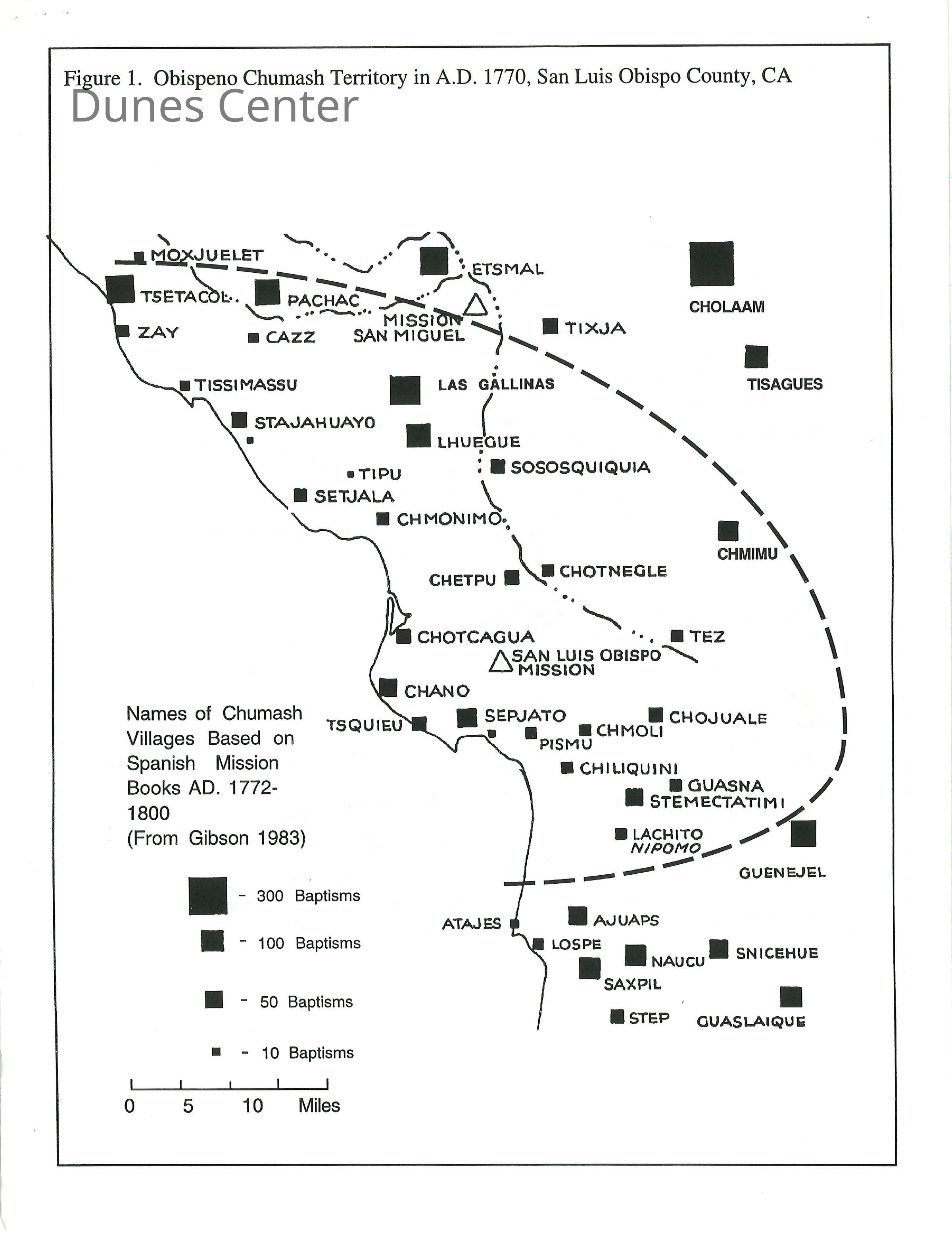
Map showing social network of Chumash village of Ajuaps (Guadalupe Lake), Chart showing comparison of Chumash cultural sequences, Diagrams showing general patterns of shell and flake areas in Chumash sites in SLO County - Series of figures: Map showing Obispeno Chumash Territory in 1770Entry/Object ID
2013.02.035Description
Series of figures: Map showing Obispeno Chumash Territory in 1770, Map showing social network of Chumash village of Ajuaps (Guadalupe Lake), Chart showing comparison of Chumash cultural sequences, Diagrams showing general patterns of shell and flake areas in Chumash sites in SLO County.Collection
Ernie GleneskLexicon
Nomenclature 4.0
Nomenclature Primary Object Term
CartographNomenclature Sub-Class
Graphic DocumentsNomenclature Class
Documentary ObjectsNomenclature Category
Category 08: Communication Objects