Name/Title
Print, PhotographicEntry/Object ID
2008.13.20Description
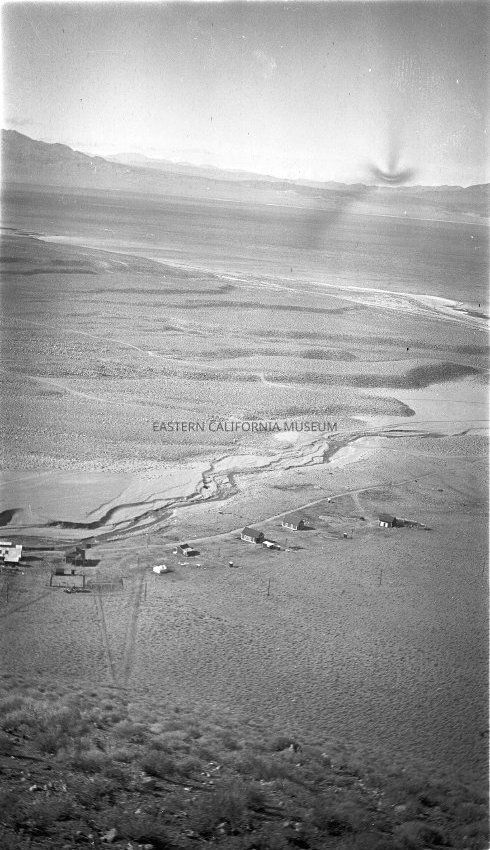
B & W digital scan of an aerial view of Cottonwood Power Plant and surrounding landscape. Image shows pre-aqueduct topography; the braided stream channel of Cottonwood Creek, Owens Lake and ancient terraces formed by the lake. Image taken from the hills above Cottonwood possibly the top of power plant penstock. Looking northwest to southeast across Owens Lake to the Coso Mountains.
This photo was either taken by or from the collection of Edward Francis Leahey.Collection
Edward Francis Leahey Collection