Name/Title
Map, TopographicEntry/Object ID
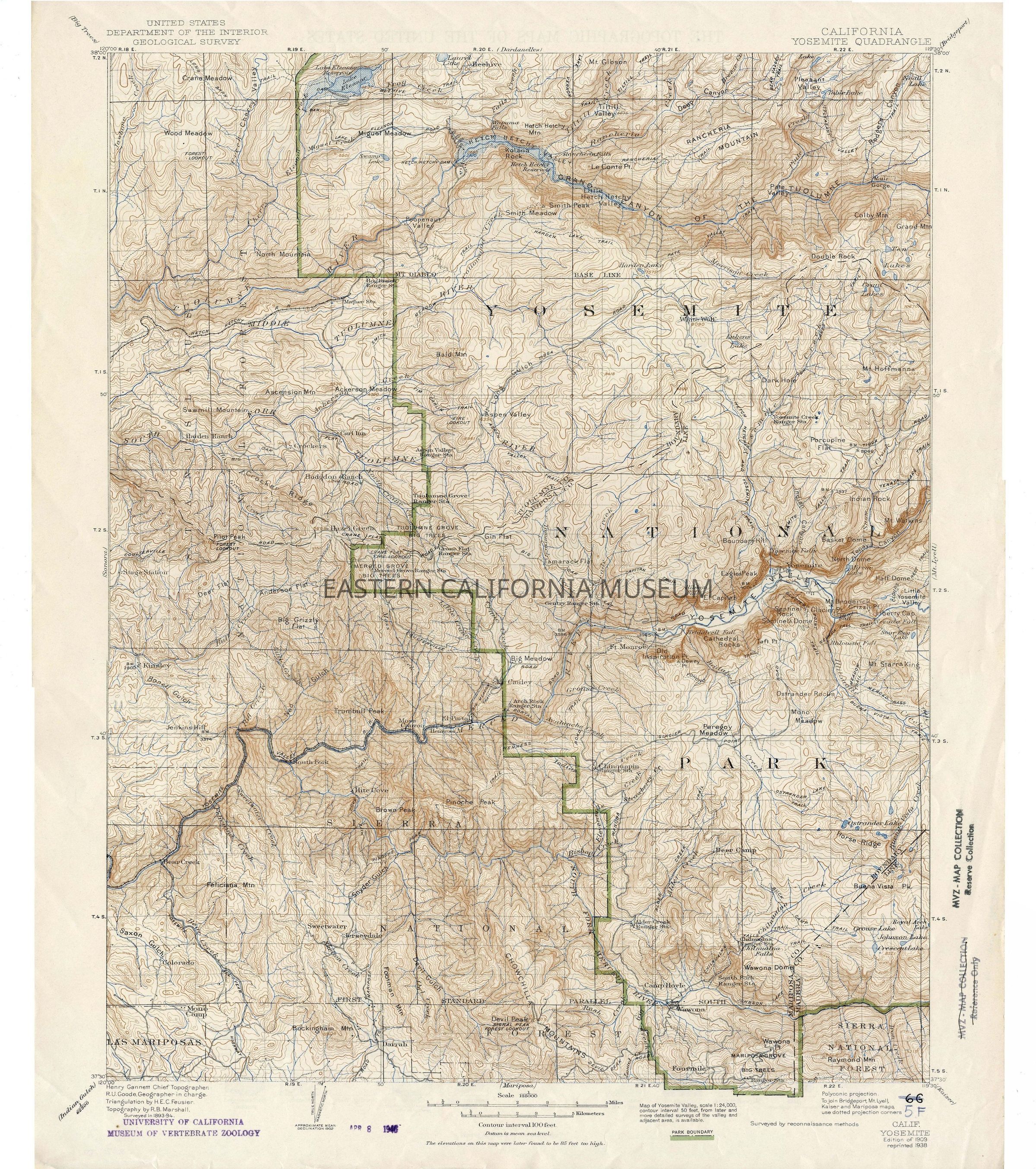
2025.17.1Description
Topographic map: California Yosemite Quadrangle, United States Department of the Interior Geological Survey, edition of 1909, reprinted 1938. "The elevations on this map were later found to be 85 feet too high."
Stamped three times with University of California Museum of Vertebrate Zoology stamps and the date Apr. 8, 1946.Collection
Ron Dexter CollectionProvenance
Notes
Previously owned by University of California Museum of Vertebrate Zoology, but was discarded from their collections.