Name/Title
MapEntry/Object ID
2016.32.4a-cDescription
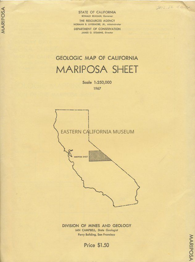
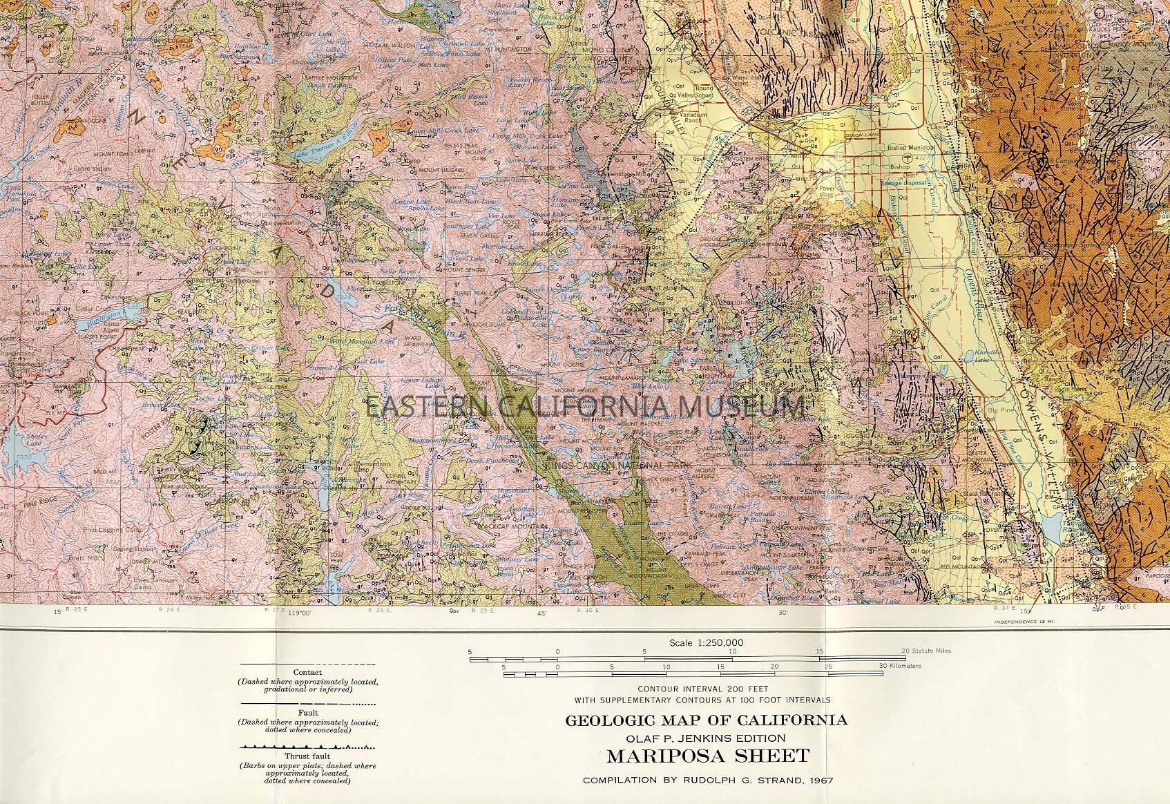
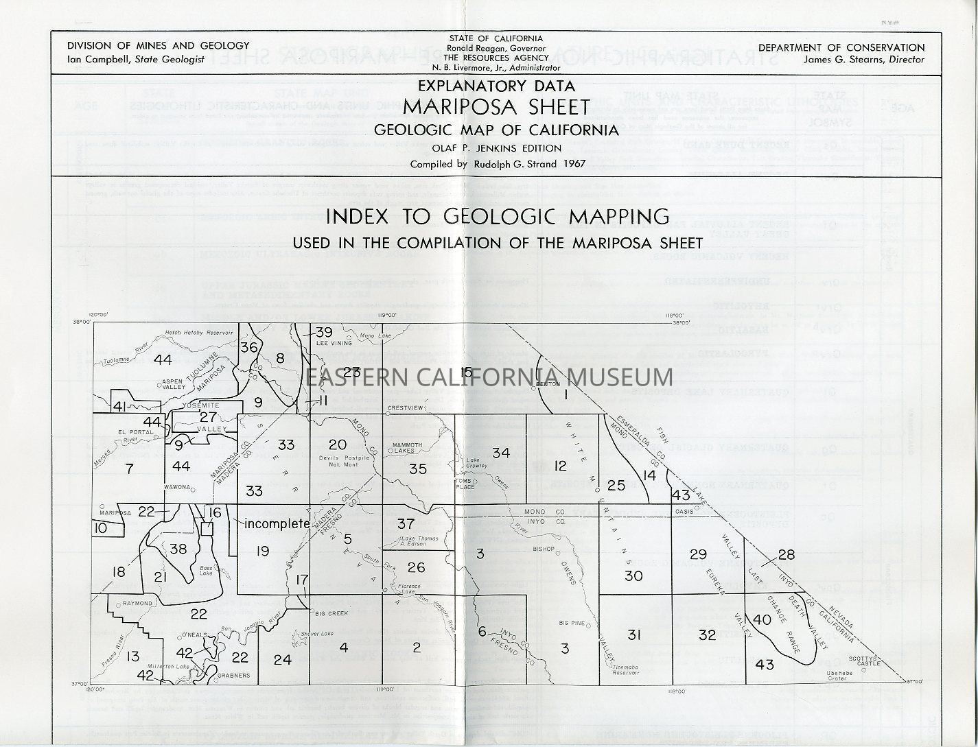
Map packet, includes:
a. Geologic Map of California, Mariposa Sheet, Olaf P. Jenkins edition; compilation by Rudolph G. Strand, 1967. Scale 1:250, 000; color; contour intervall 200 feet, with supplementary contours at 100 foot intervals; "Explanation" legend is included as side bar.
b. Explanation Data Mariposa Sheet Geological Map of California, Index to Geologic Mapping Used in Compilation of the Trona Sheet; Olaf P. Jenkins edition; compiled by Rudolph G. Strand, 1967; 4-page fold out.
c. Packet/envelope for holding the two documents above; buff colored. On front is an illustration outlining the state of California, with a box incornporated into the drawing "Mariposa Sheet", outining the region with in the state.Collection
Eastern California Museum