Name/Title
Print, PhotographicEntry/Object ID
1996.43.484-506Description
Collection of photos of the Owens Valley, many of which Robert A. Sauder used in his book "The Lost Frontier." There are several aerial photographs.
1996.43.484--Fig. 10.2: An abandoned farmstead in the West Bishop region.
1996.43.485--Fig. 10.11: The remains of Roberts's silo in Round Valley. Constructed of light tufa rock, it stood twenty-two feet high and held 230 tons of silage.
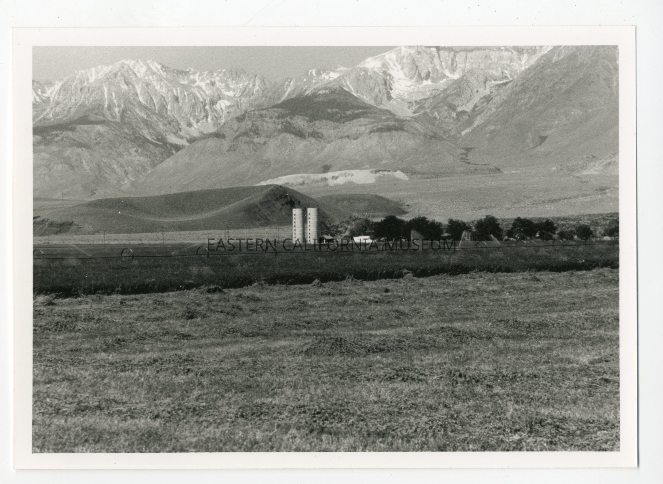
1996.43.486--Fig. 10.14: A working alfalfa ranch near Red Mountain south of Big Pine. Alfalfa is now grown on only about 2,800 acres of valley land.
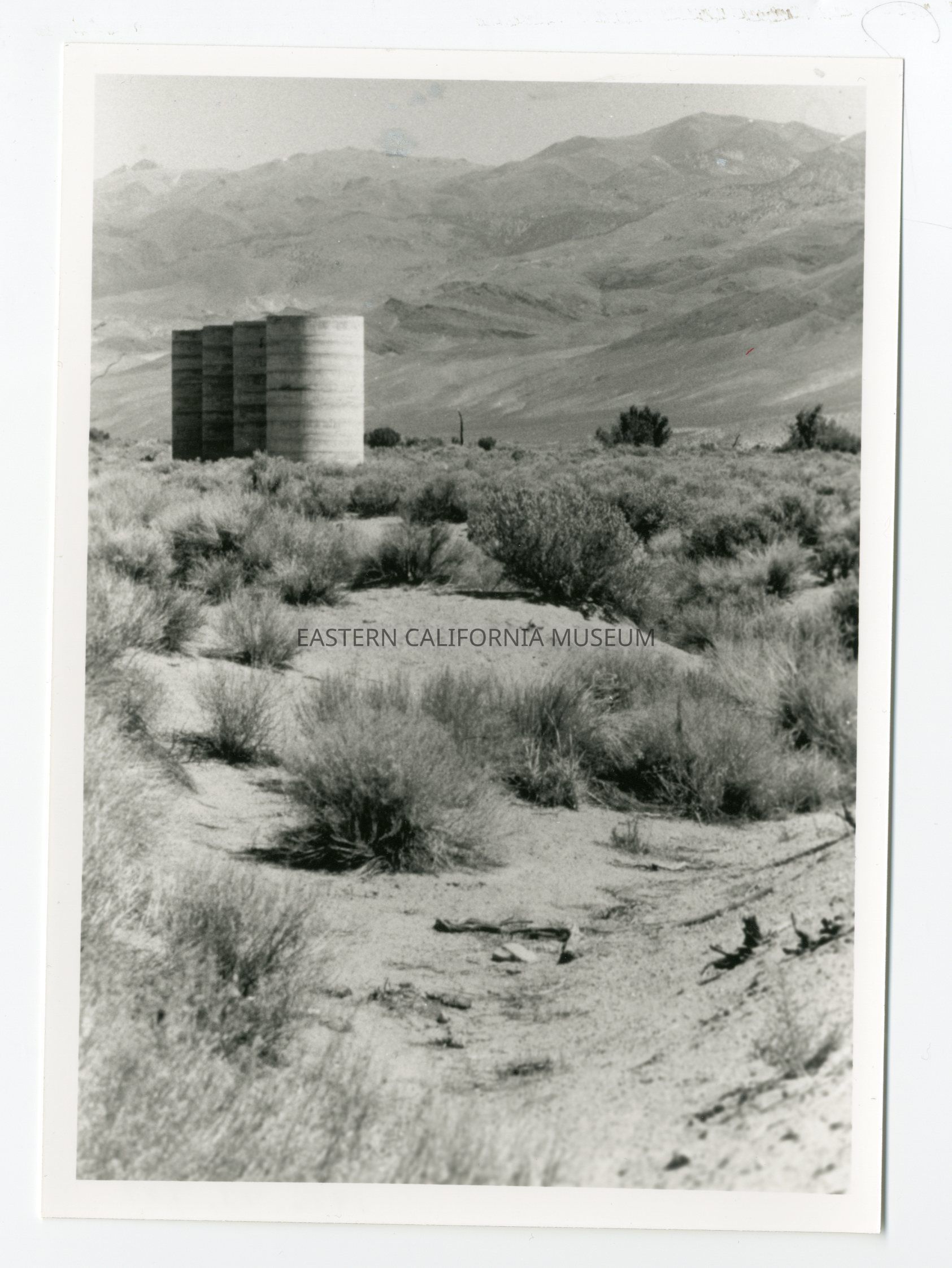
1996.43.487--Fig. 10.12: Abandoned concrete silos located southeast of Bishop. Many silos, although unused today, are still seen in the Bishop-Round Valley region, where dairy farming was once prominent.
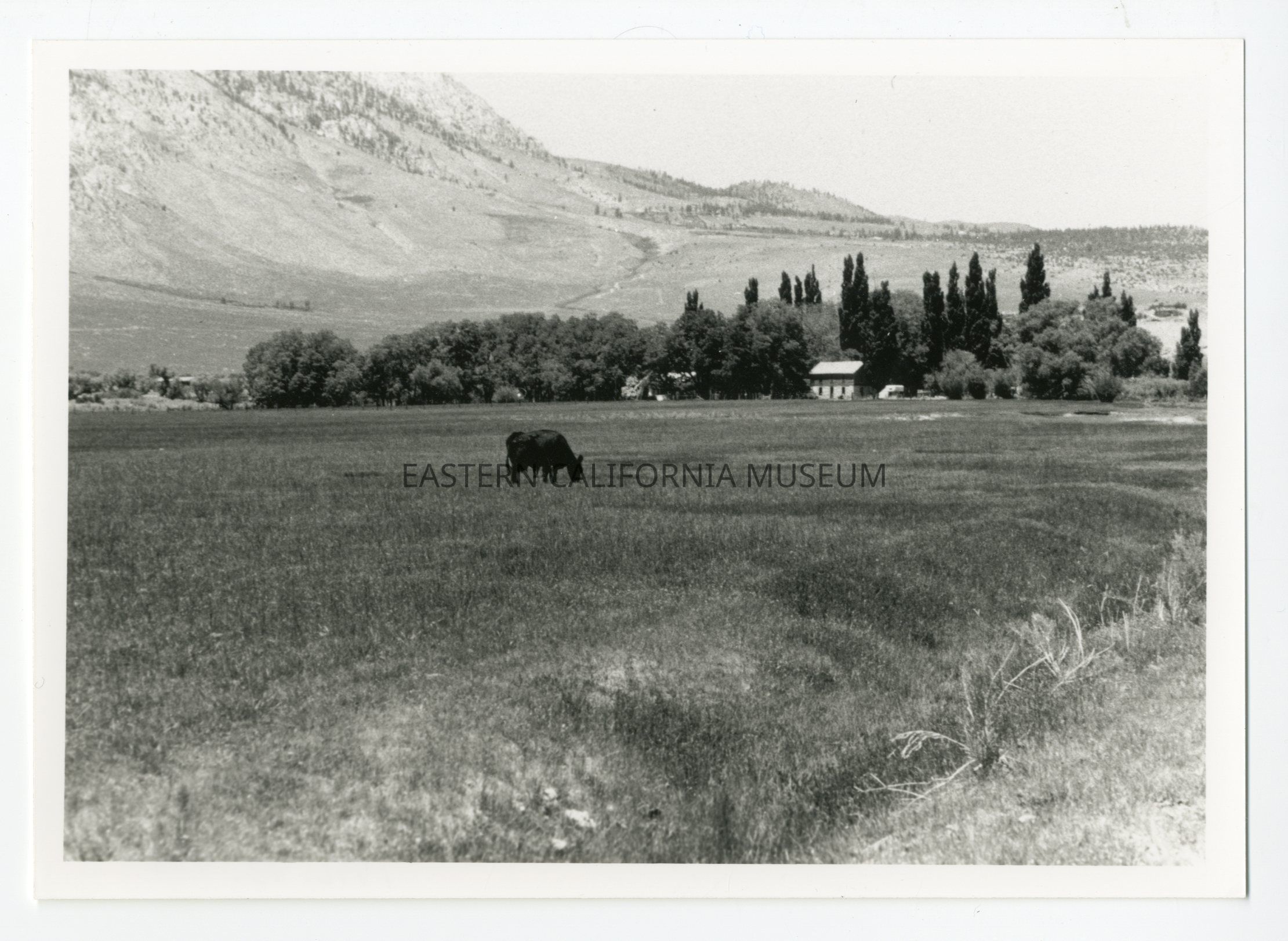
1996.43.488--Fig. 10.13: An irrigated pasture in Round Valley. In contrast, most of the valley floor is used today as rangeland for livestock.
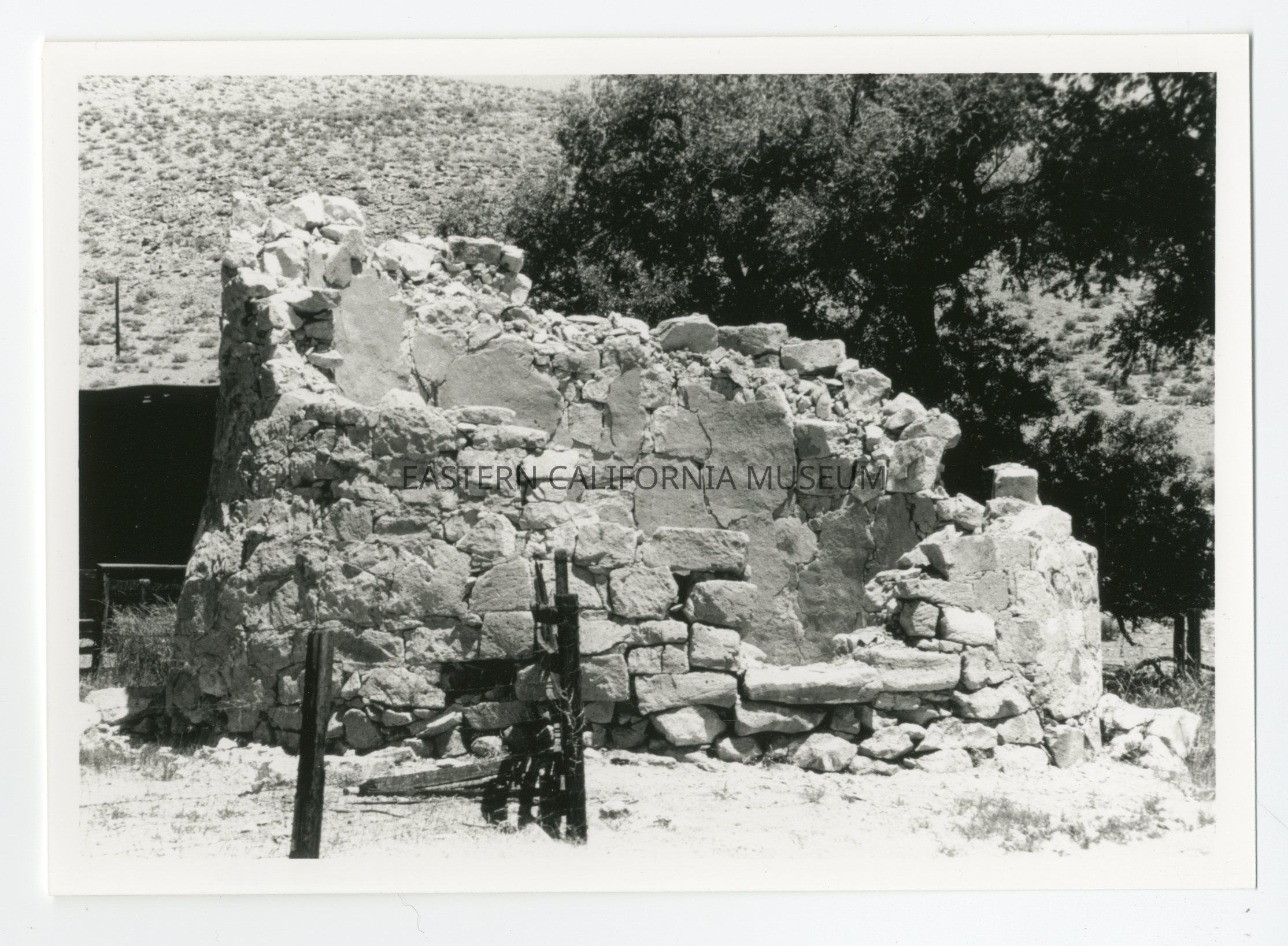
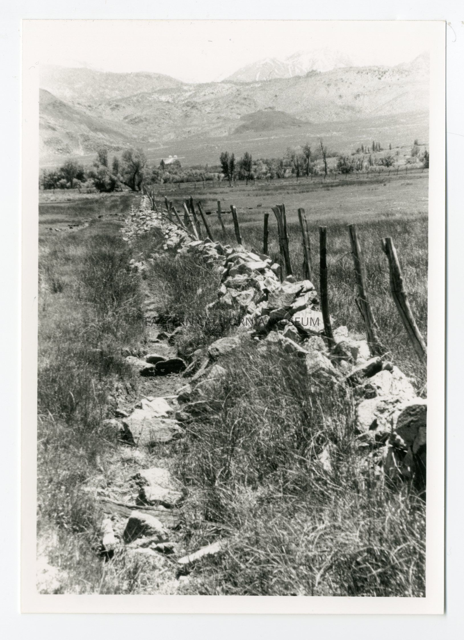
1996.43.489--Fig. 10.7: A relict stone fence in Round Valley. One Round Valley farmer, John Birchim, used stone walls extensively to encircle his fields.
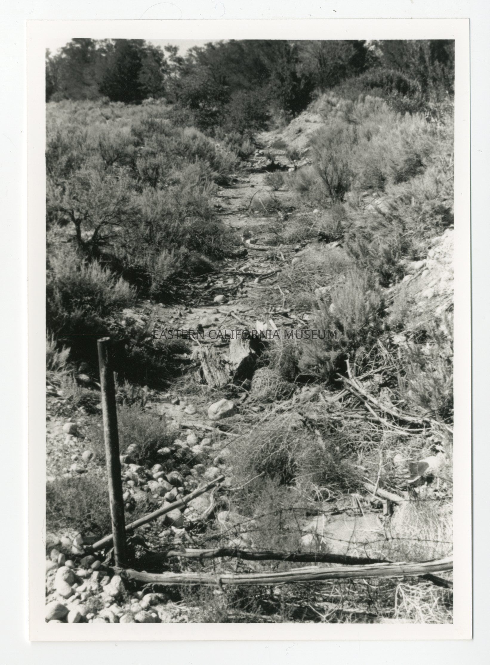
1996.43.490--Fig. 10.9: The dry channel of the Owens River Canal west of Bishop.
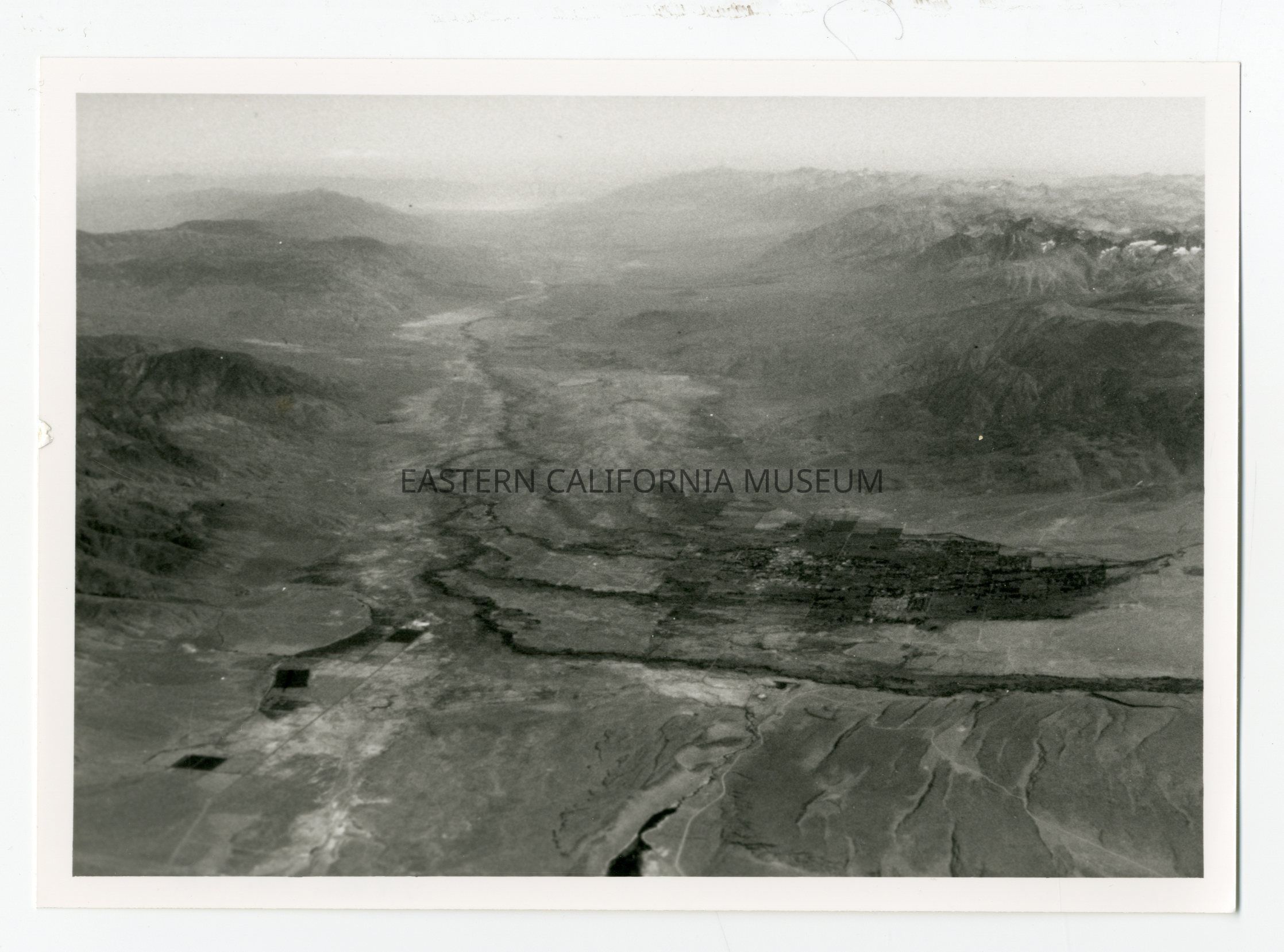
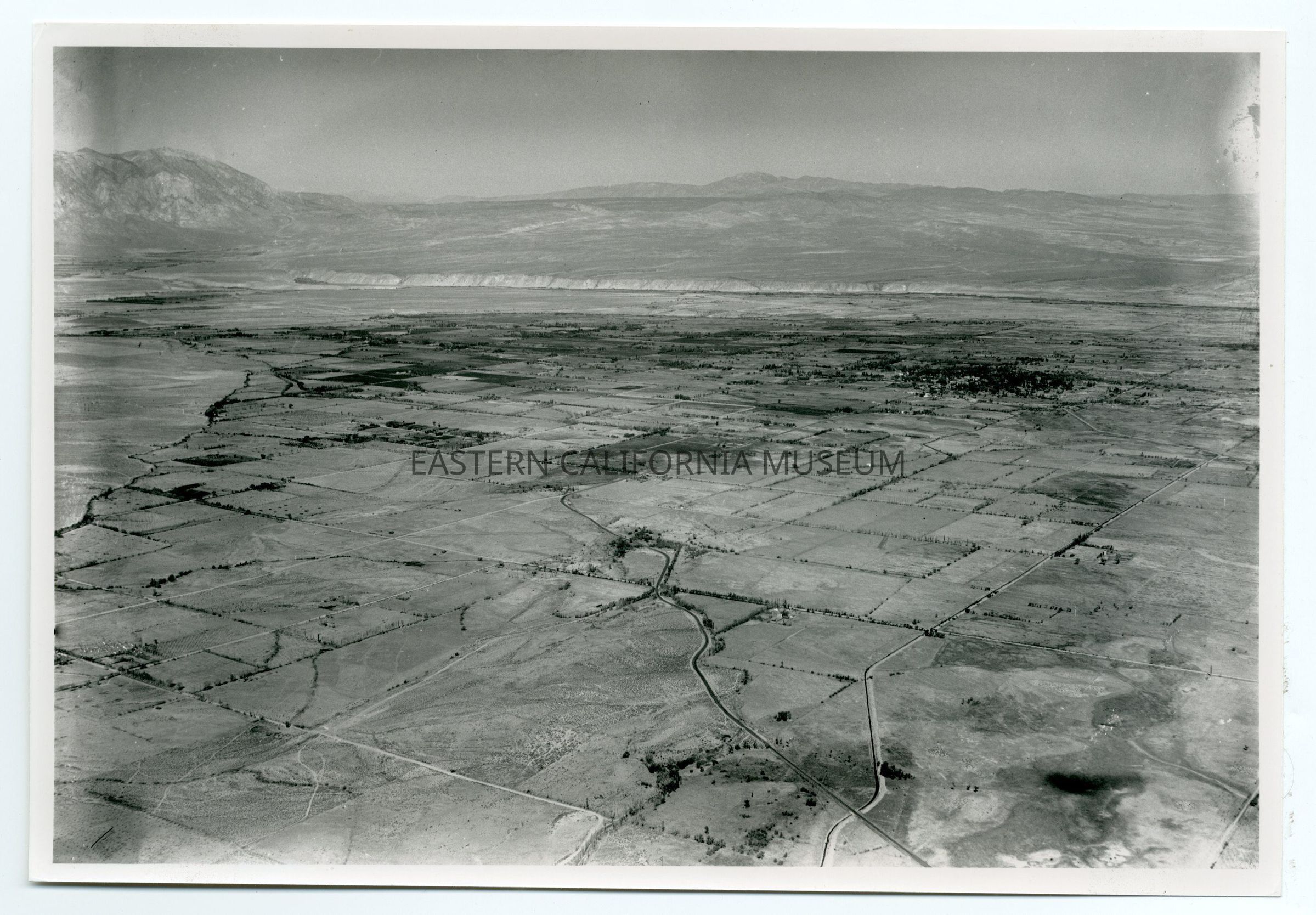
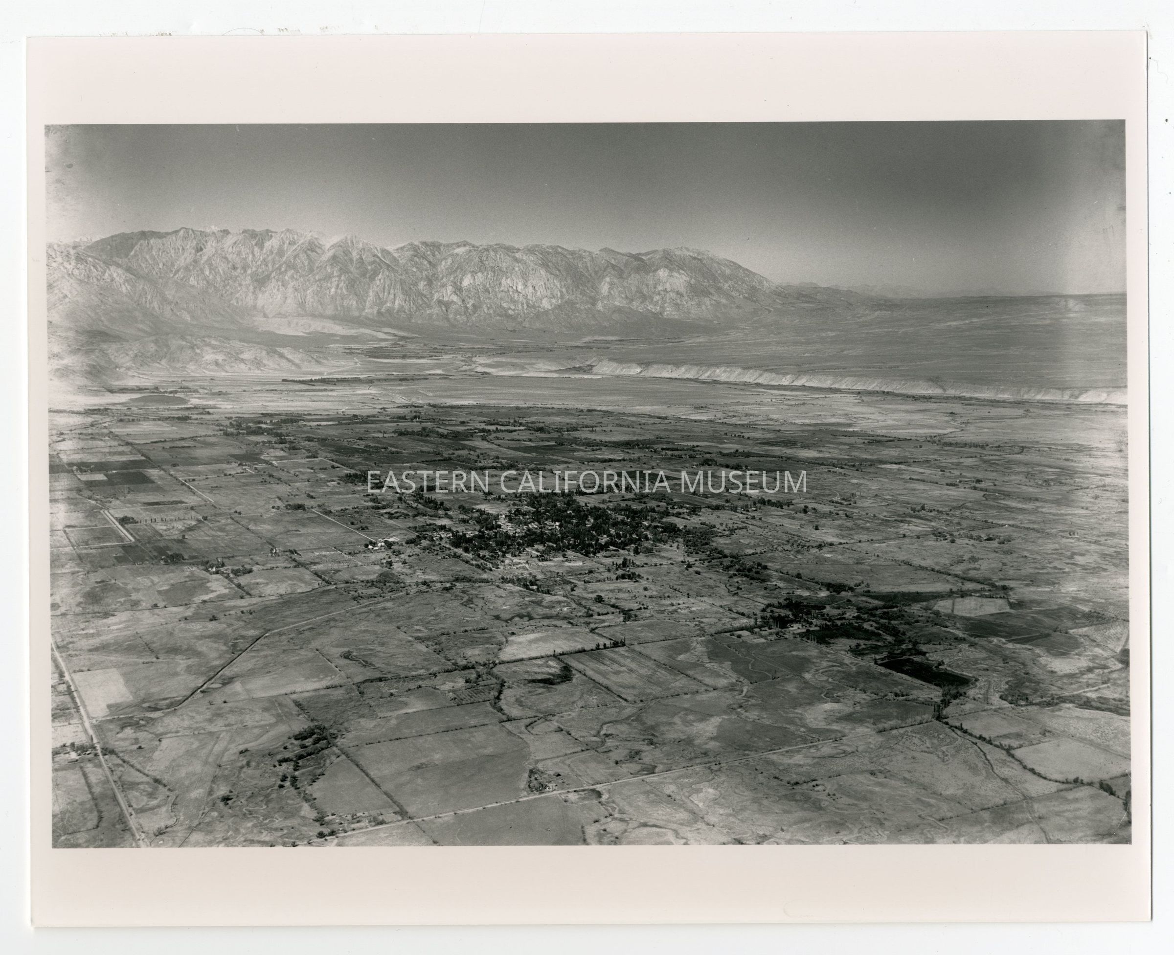
1996.43.491--Fig. 2.2: An aerial view of the Owens Valley looking south. The settled area in the foreground is Bishop. The Sierra Nevada borders the valley on the right, the White Mountains on the left. The volcanic tableland is at the bottom of the photo.
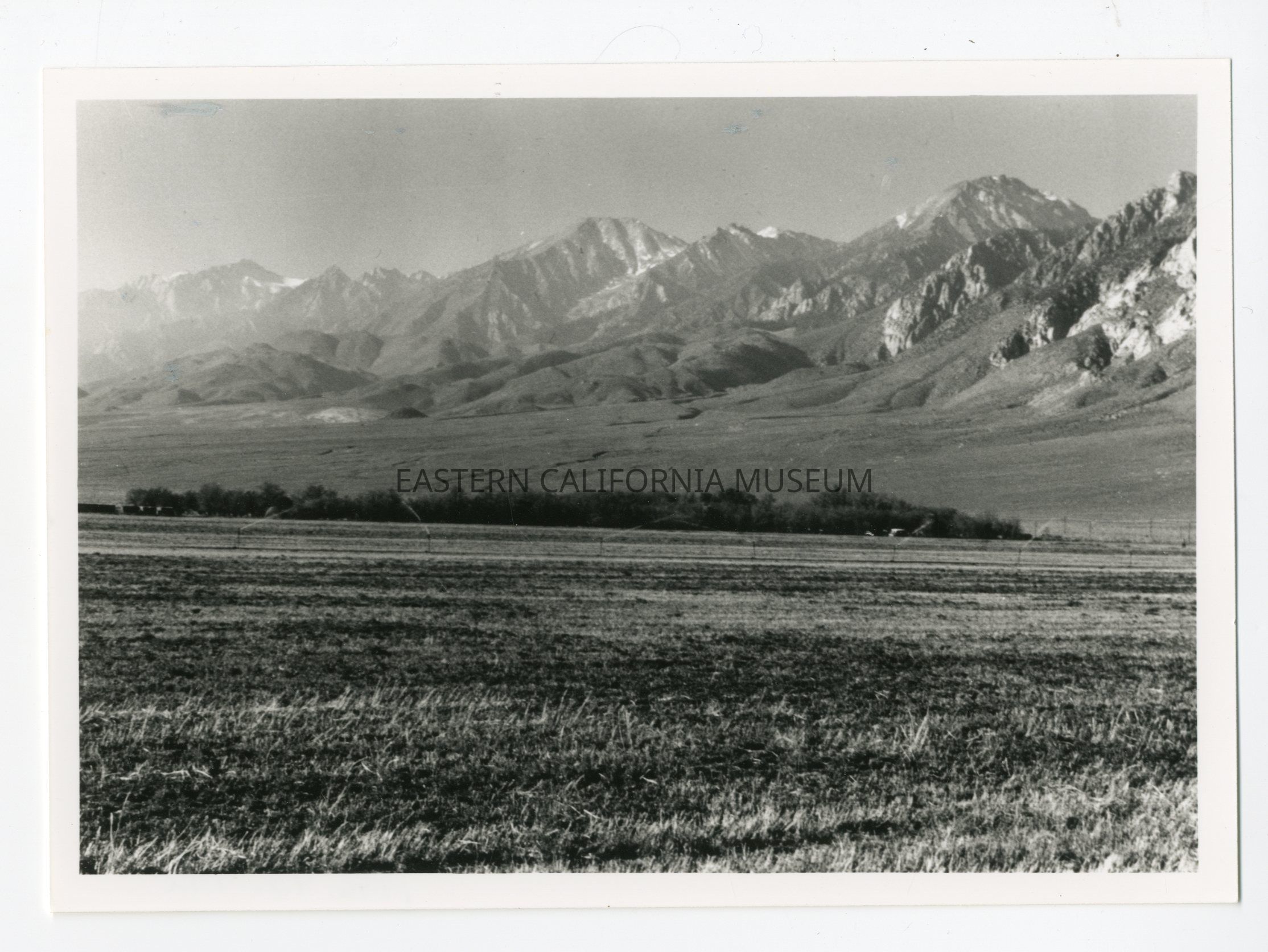
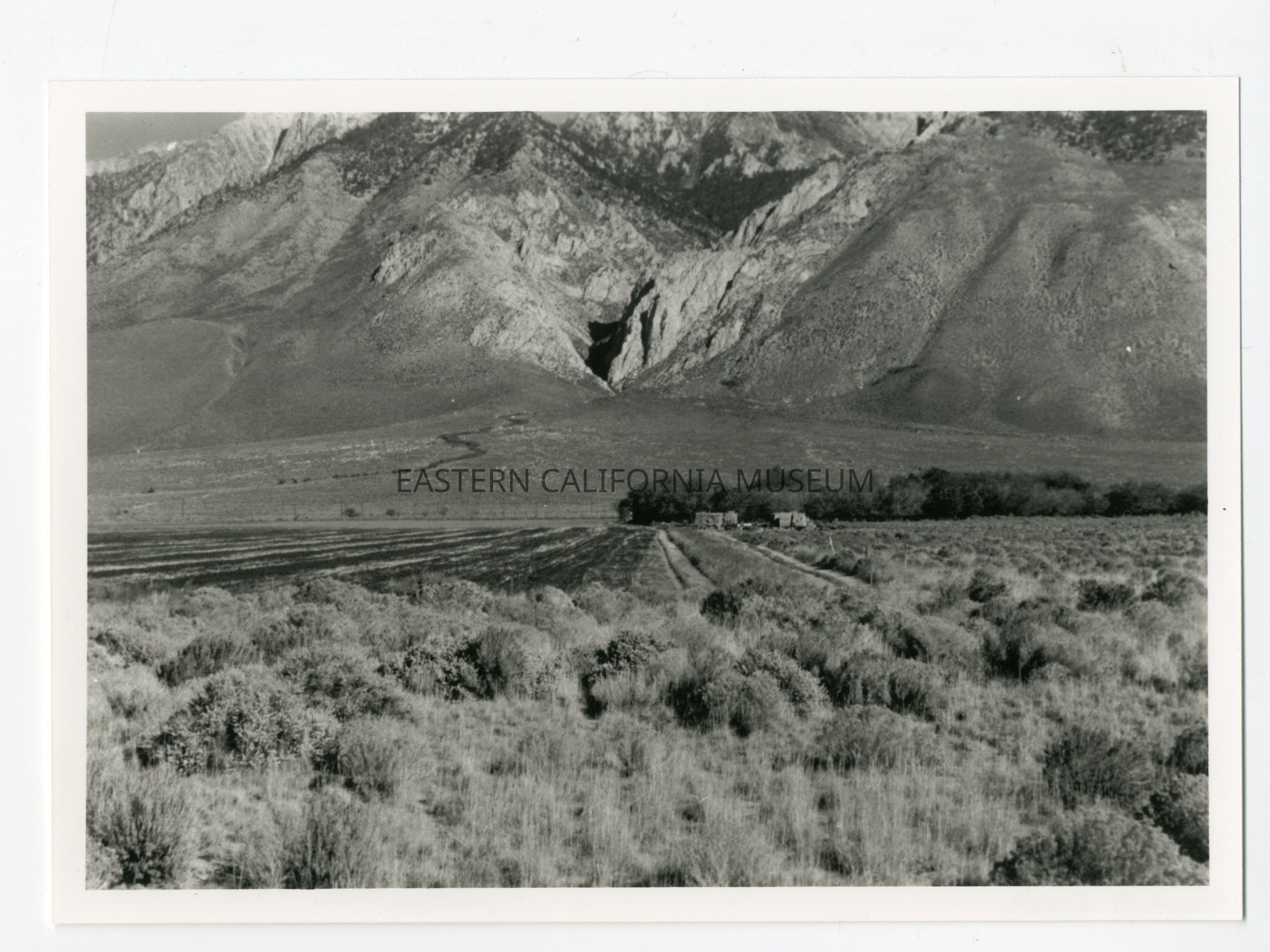
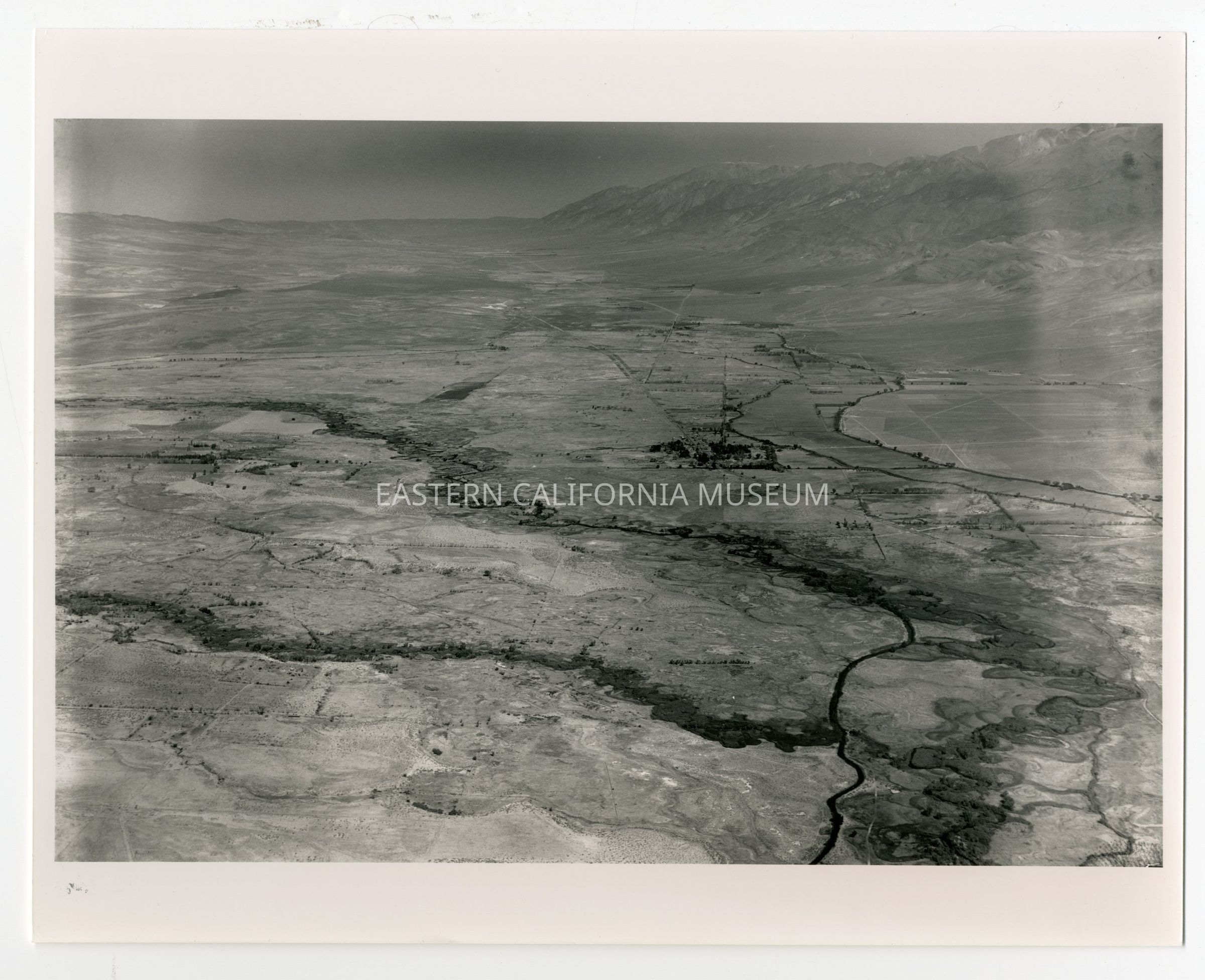
1996.43.492--Fig. 2.3: A view of the alluvial slope at the base of the Sierra Nevada north of Independence.
1996.43.493--Aerial photo.
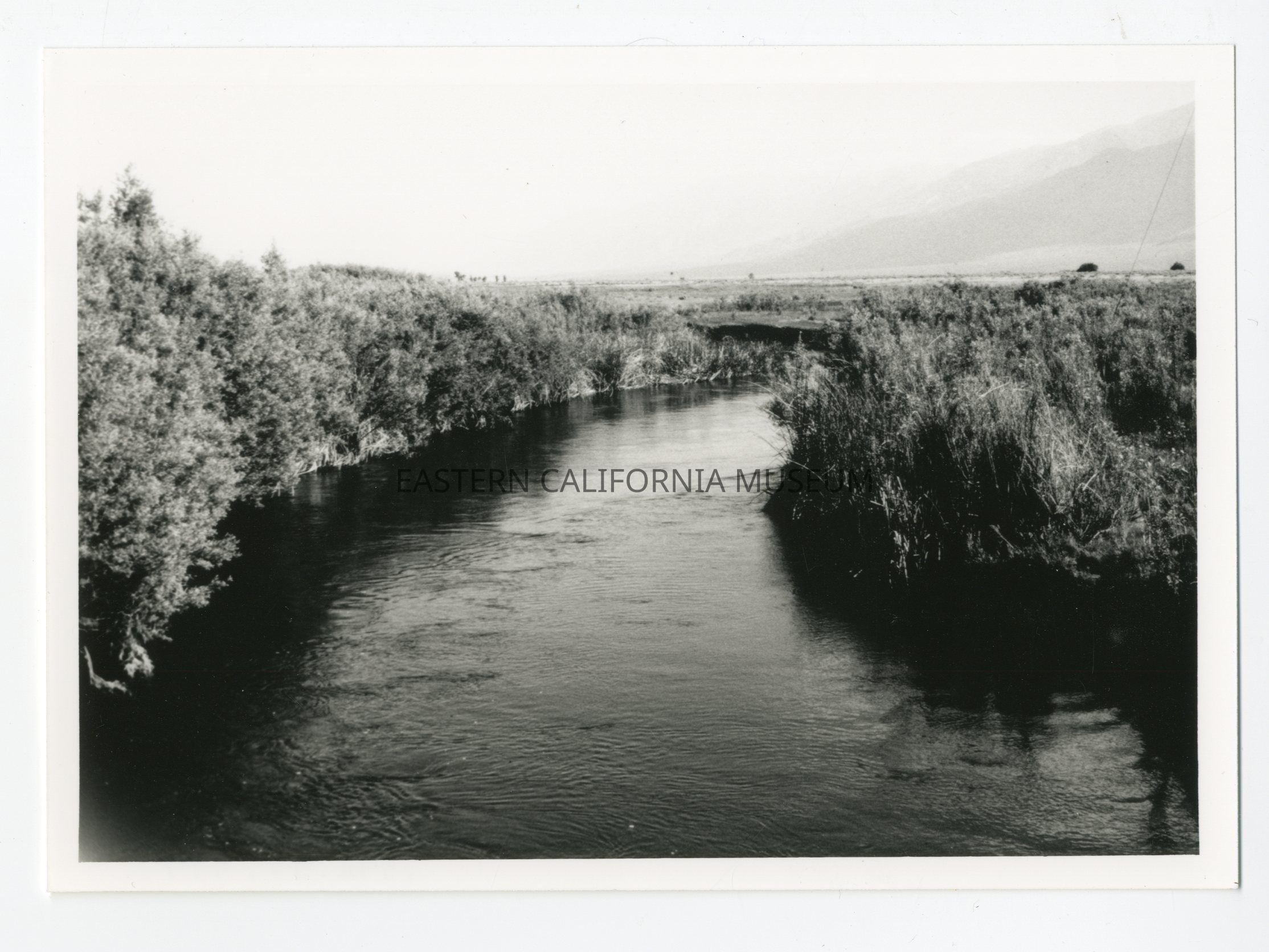
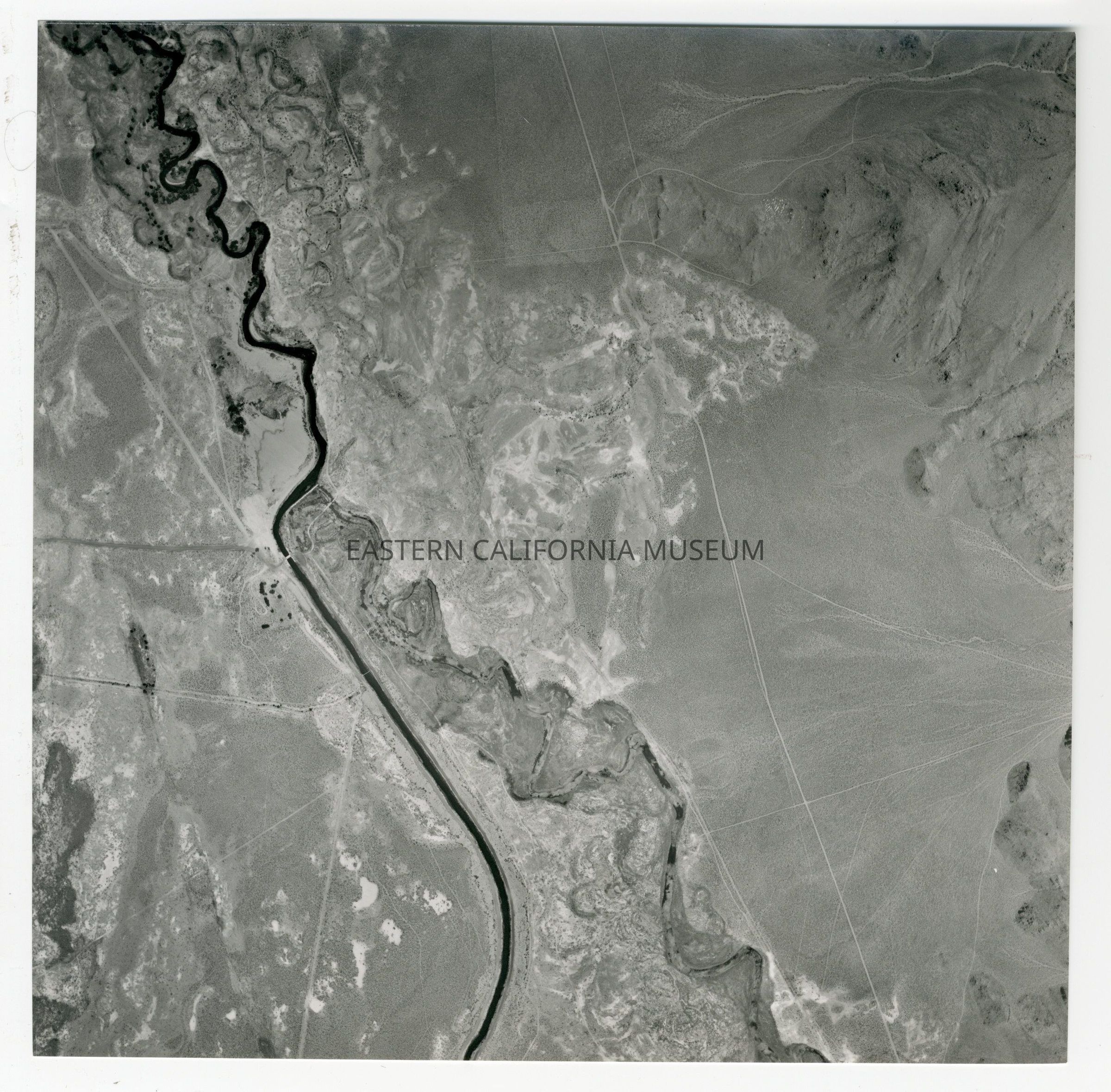
1996.43.494--Fig. 2.6: The Owens River.
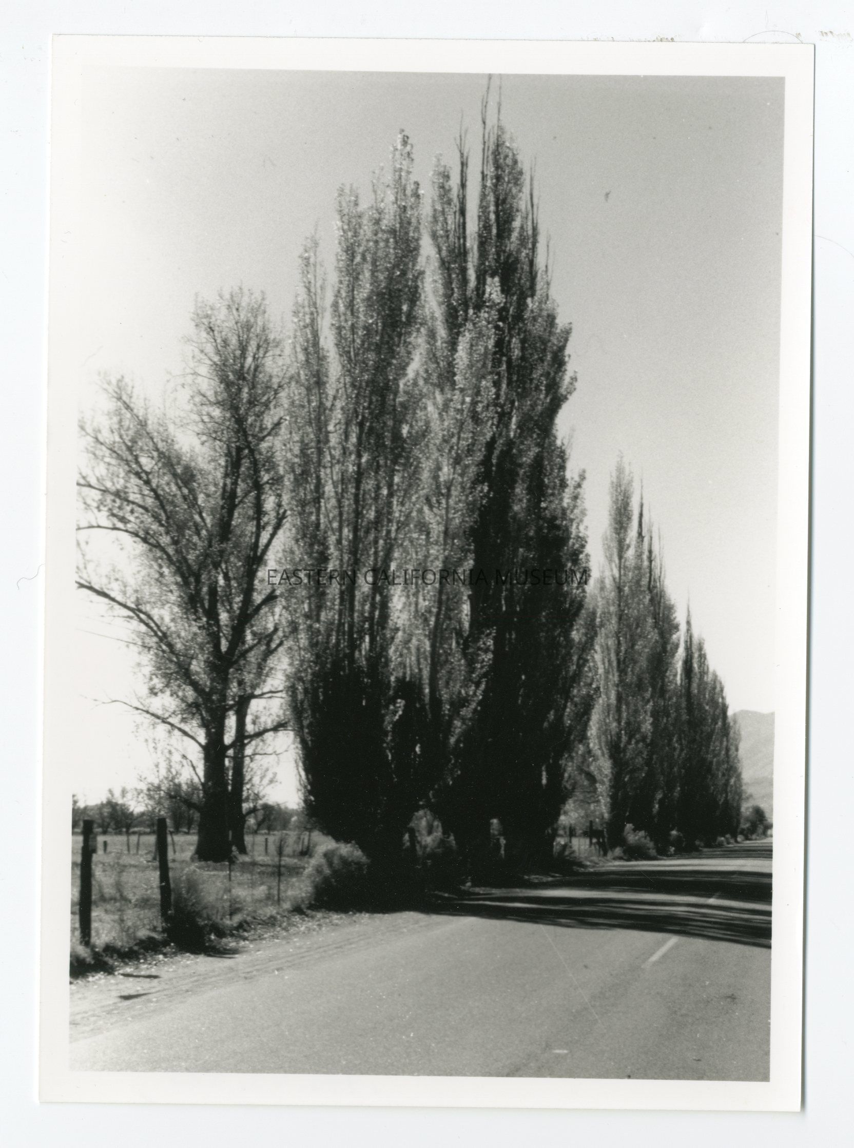
1996.43.495--Fig. 10.8: Lombardy poplars planted by pioneer settlers still provide tree-lined drives in the West Bishop region.
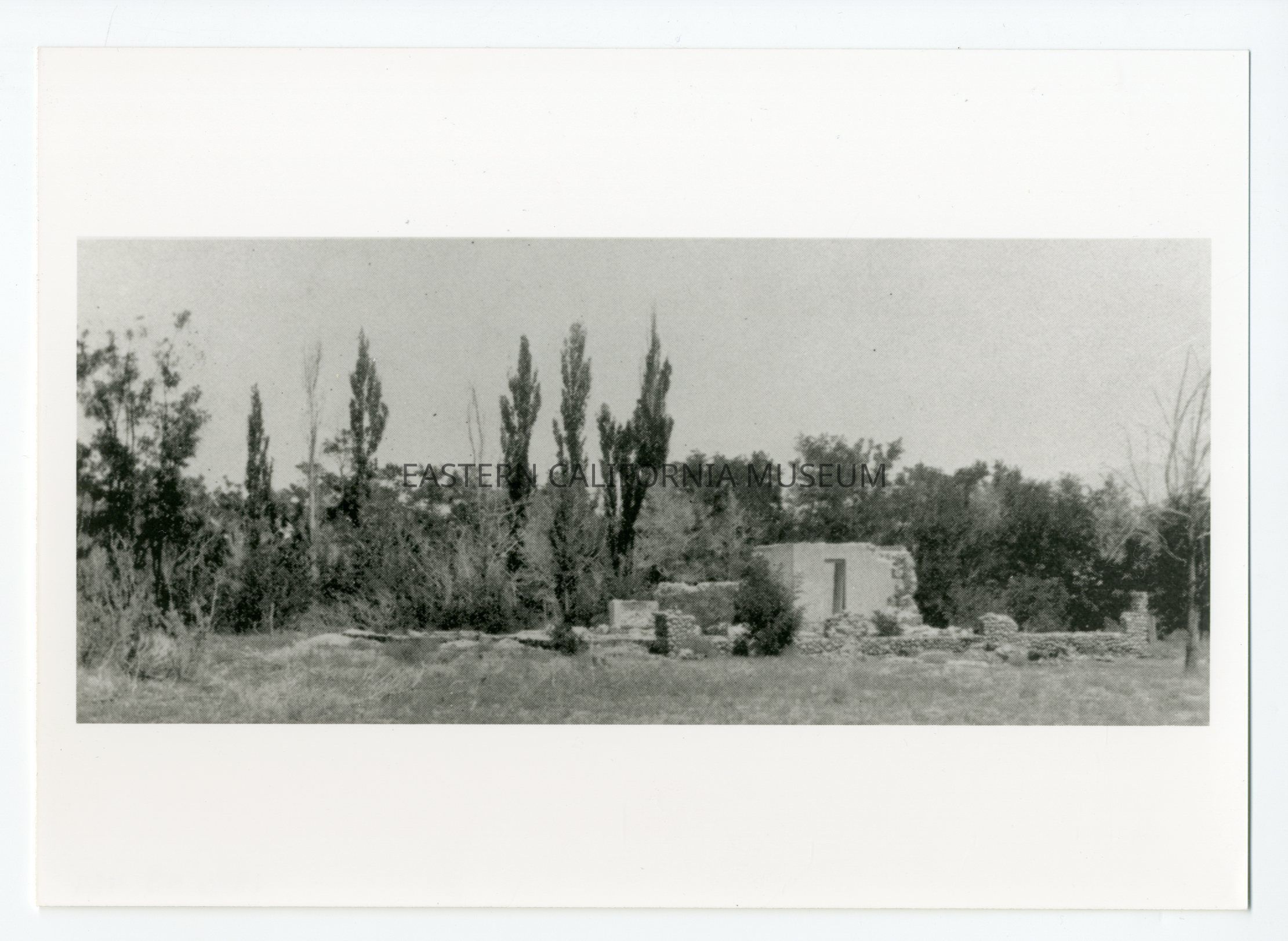
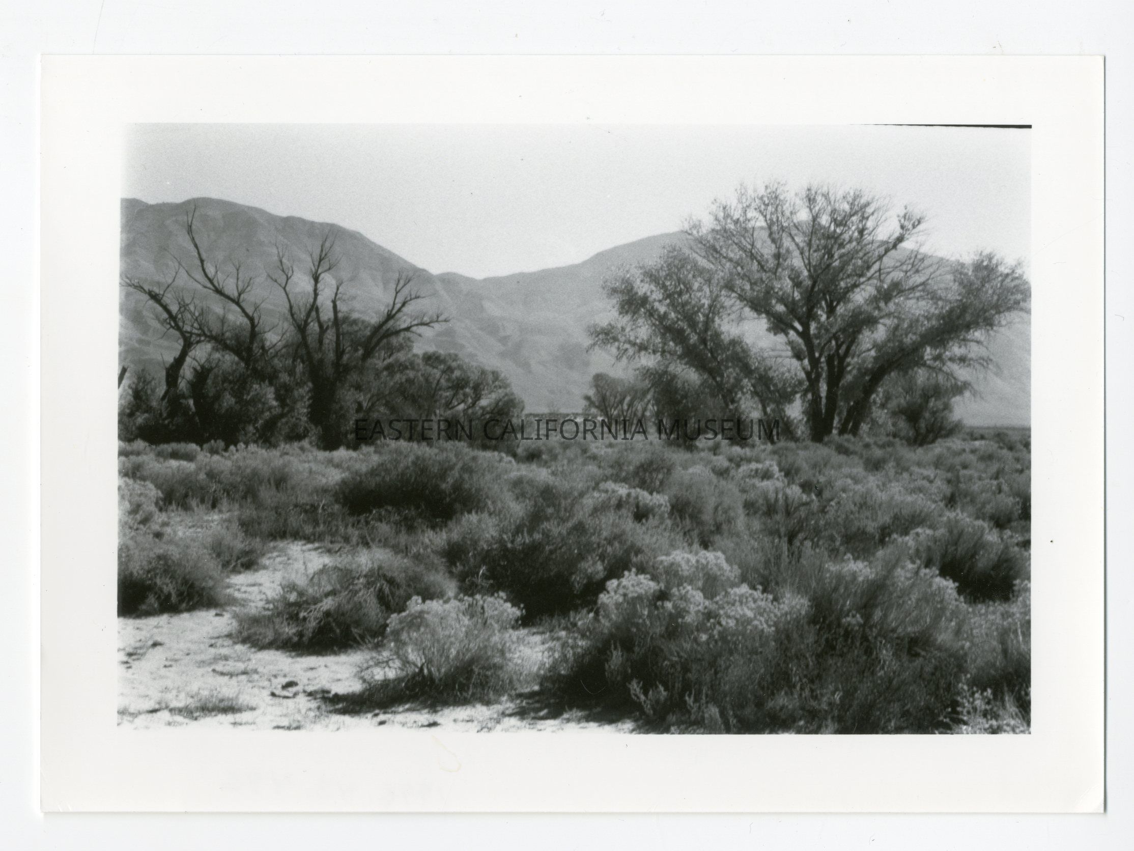
1996.43.496--Fig. 10.10: Dying trees and an invasion of rabbit brush mark the location of a former farmstead in the Warm Springs district southeast of Bishop.
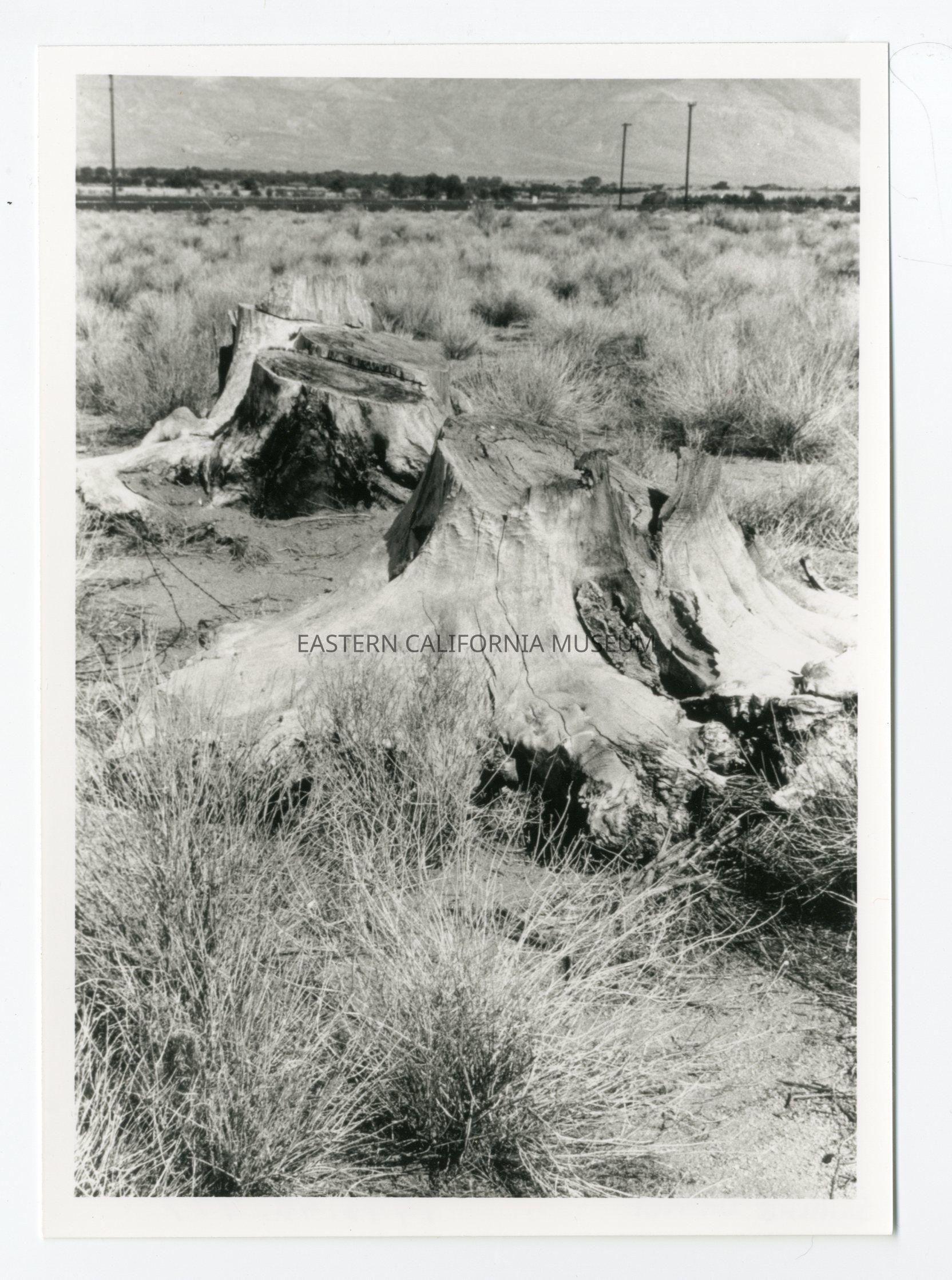
1996.43.497--Stumps in the Sunland district.
1996.43.498--Farmstead near Sawmill Creek.
1996.43.499--Fig. 9.1: Fruit orchards at Manzanar in 1931. Following the abandonment of Manzanar, the subdivision in 1942 became the site of a World War II relocation center housing 10,000 Japanese-Americans. [UCLA Department of Geography, Air Photo Collections, Spence Photo, neg #E-3231, 09/24/1931]
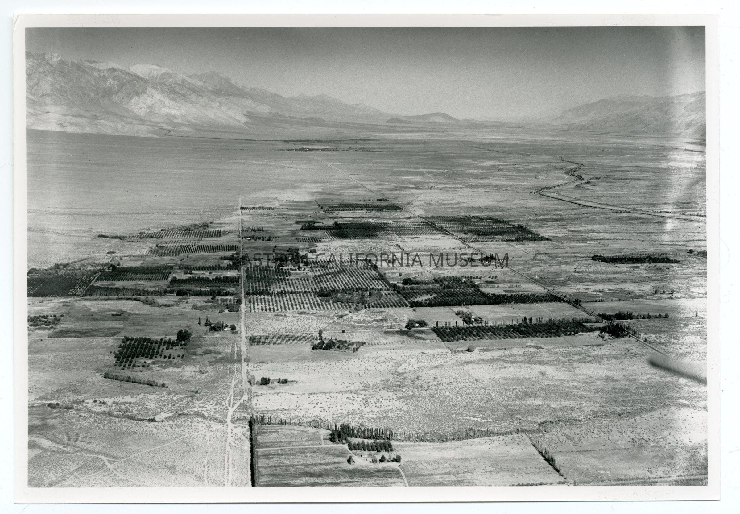
1996.43.500--Fig. 10.5: Former farmland surrounding Bishop in 1931. [UCLA Department of Geography, Air Photo Collections, Spence Photo, neg #E-3222, 09/24/1931]
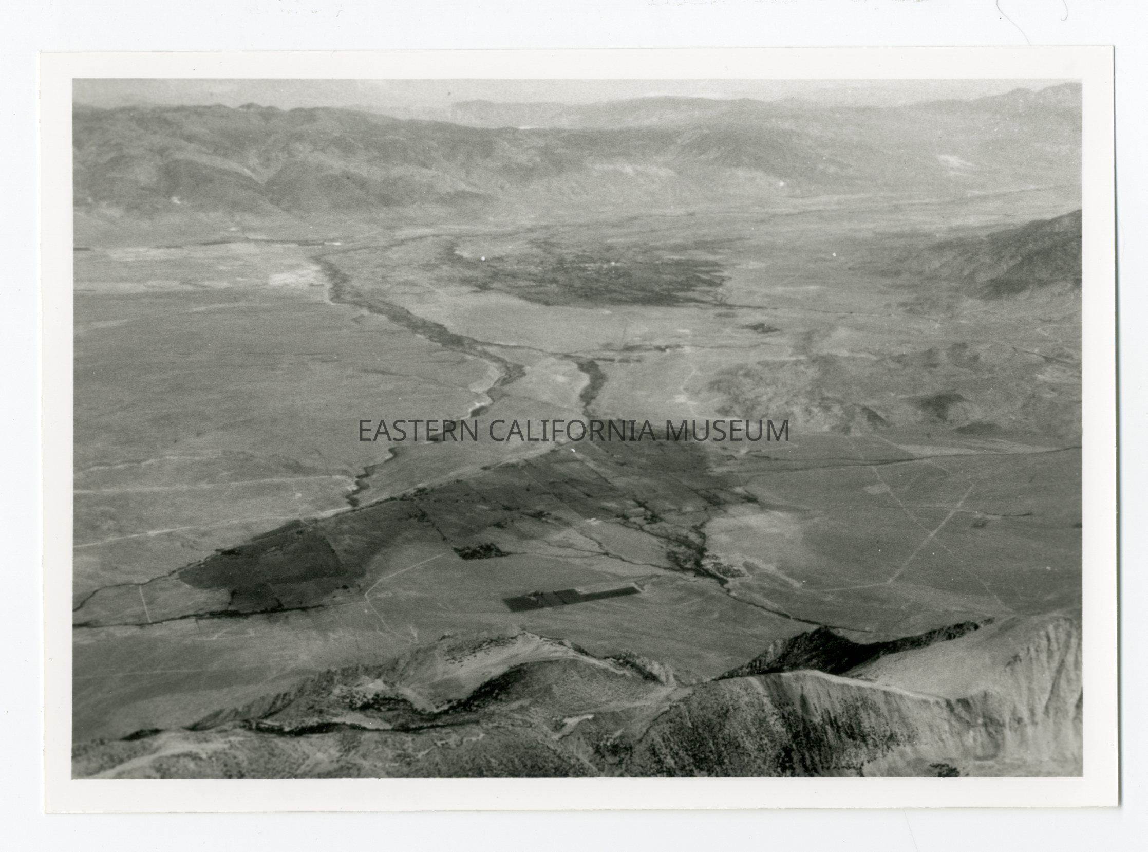
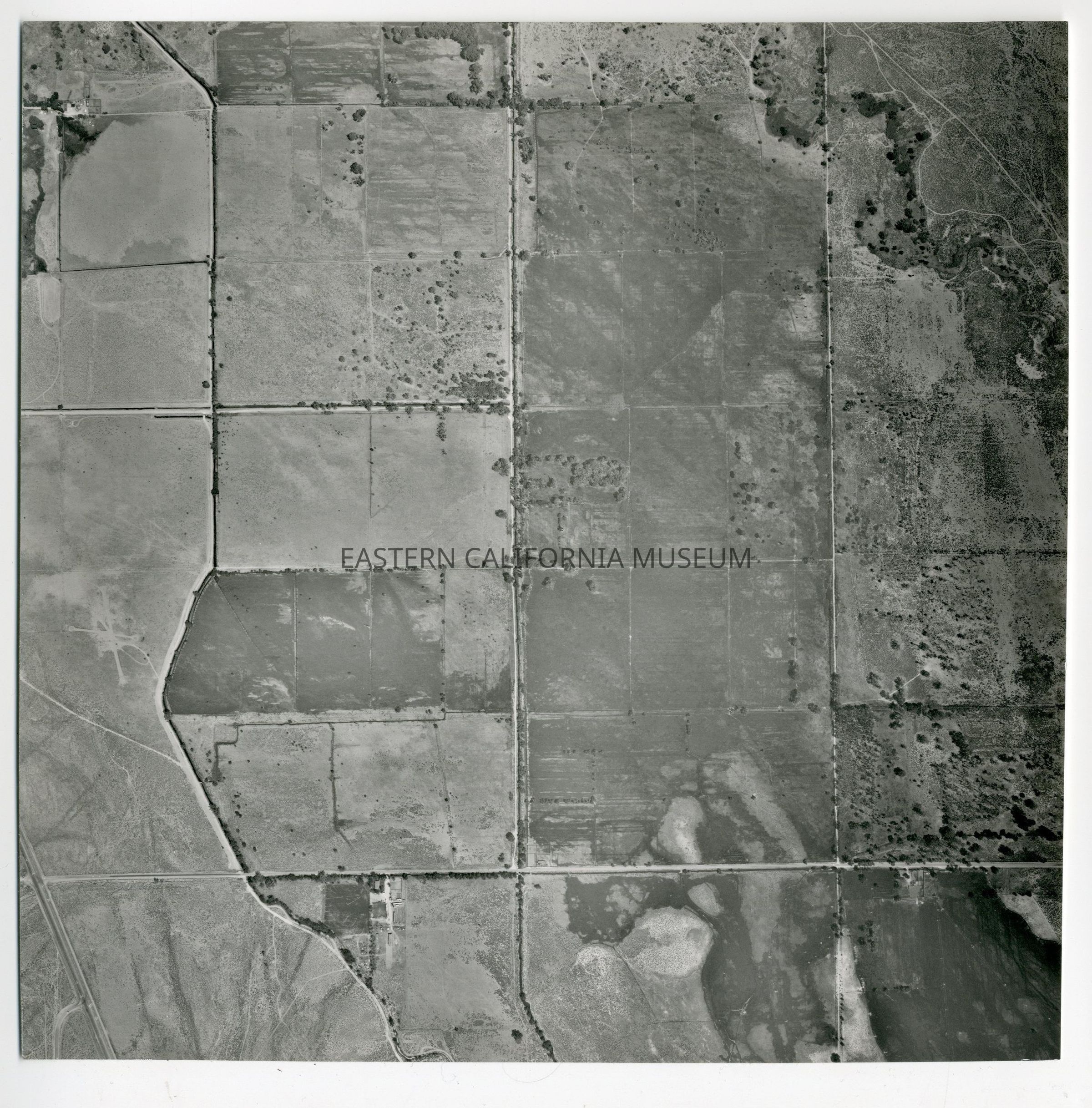
1996.43.501--Fig. 10.4: Relict field patterns south of Bishop.
1996.43.502--Fig. 11.1: An aerial photo of the unnaturally straight channel of the Los Angeles Aqueduct Intake at left and the meandering channel of the lower Owens River to the right. THe portion of the river below the intake recently began receiving water to repair the riparian habitat.
1996.43.503--Fig. 10.6: Former farmland near Laws in 1931. [UCLA Department of Geography, Air Photo Collections, Spence Photo, neg #E-3224, 09/24/1931]
1996.43.504--Fig. 5.4: Settlement in the West Bishop region is etched into the landscape between the north and south forks of Bishop Creek.
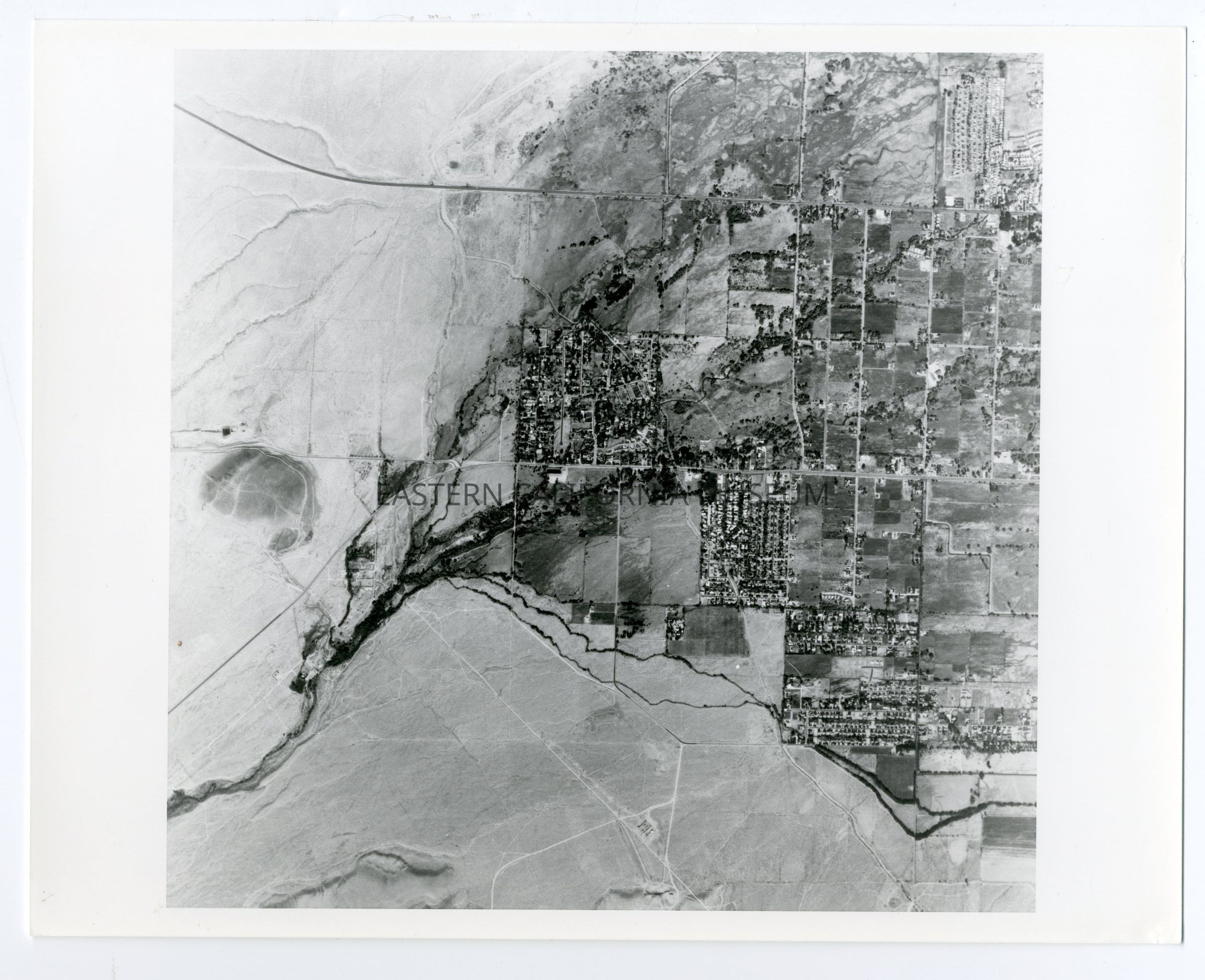
1996.43.505--Aerial photo of the Bishop area. [UCLA Department of Geography, Air Photo Collections, Spence Photo, neg #E-3221, 09/24/1931]
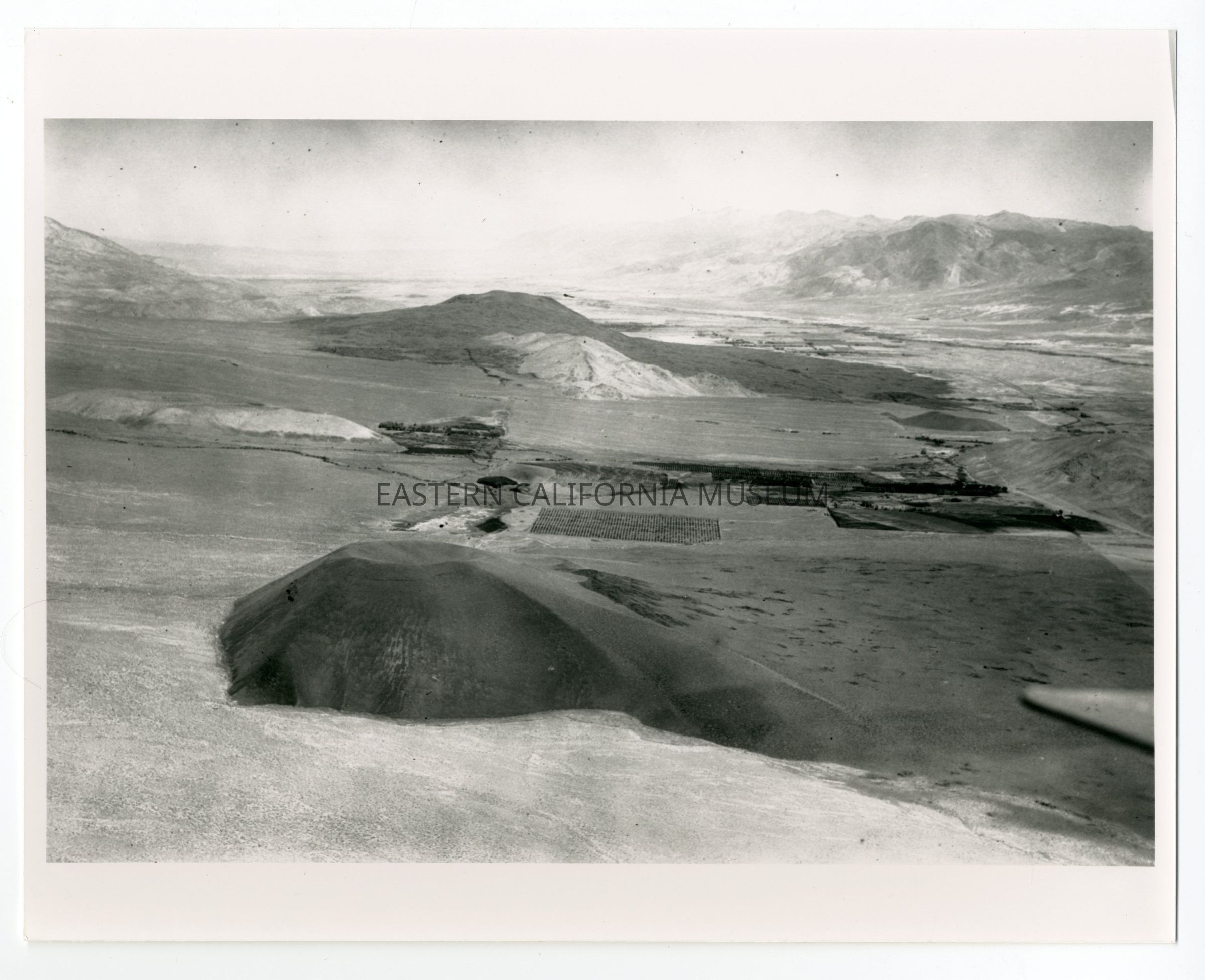
1996.43.506--Aerial photo of the Red Mountain area. [UCLA Department of Geography, Air Photo Collections, Spence Photo, neg #E-3228, 09/24/1931]Collection
Robert A. Sauder Collection