Name/Title
Map, TopographicEntry/Object ID
2025.17.5Description
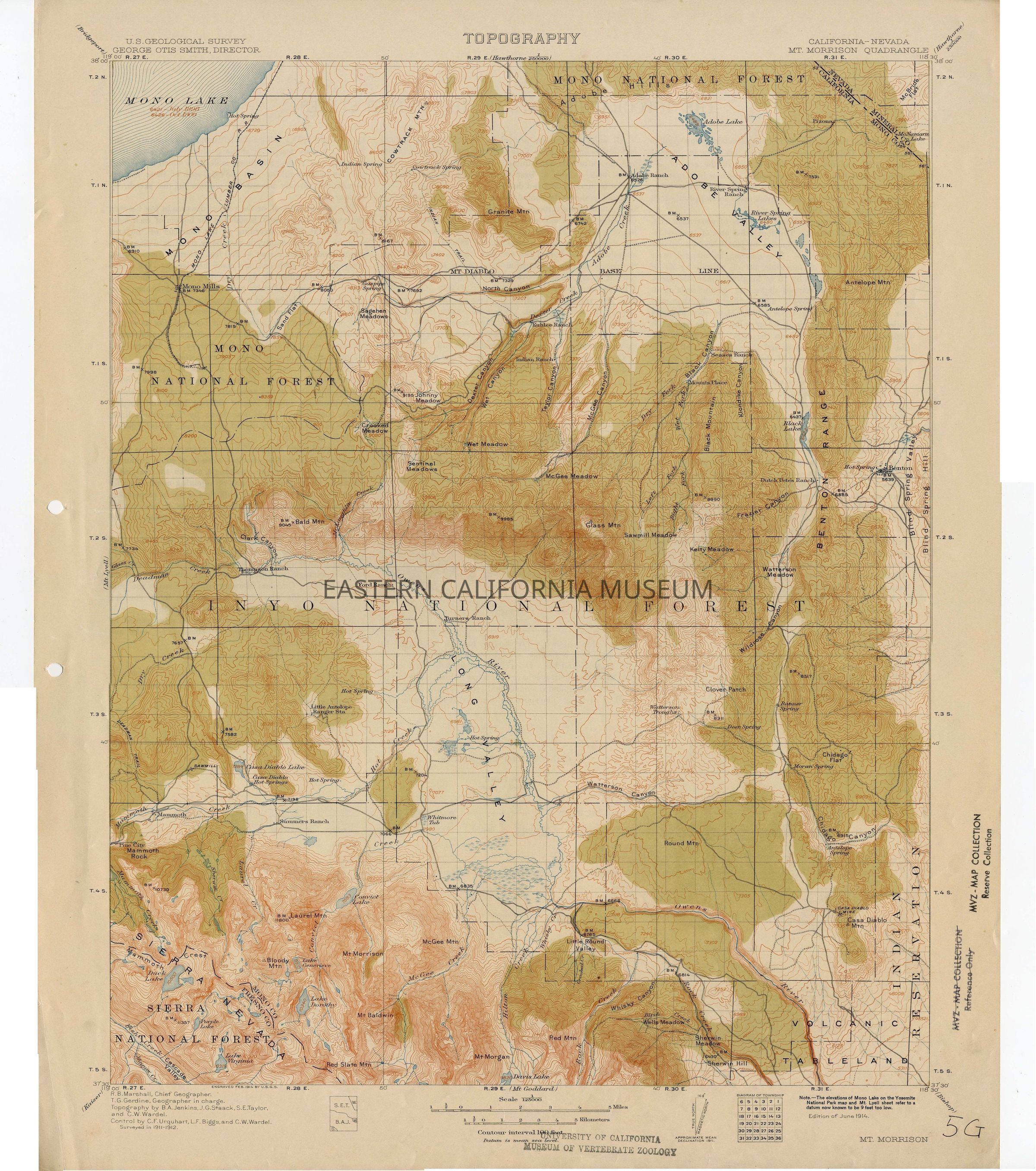
Topographic map: California-Nevada Mt. Morrison Quadrangle, U.S. Geological Survey, edition of June 1914. "Note.--The elevations of Mono Lake on the Yosemite National Park map and Mt. Lyell sheet refer to a datum now known to be 9 feet too low." There are two holes punched on the left side.
Stamped three times with University of California Museum of Vertebrate Zoology stamps.Collection
Ron Dexter CollectionProvenance
Notes
Previously owned by University of California Museum of Vertebrate Zoology, but was discarded from their collections.