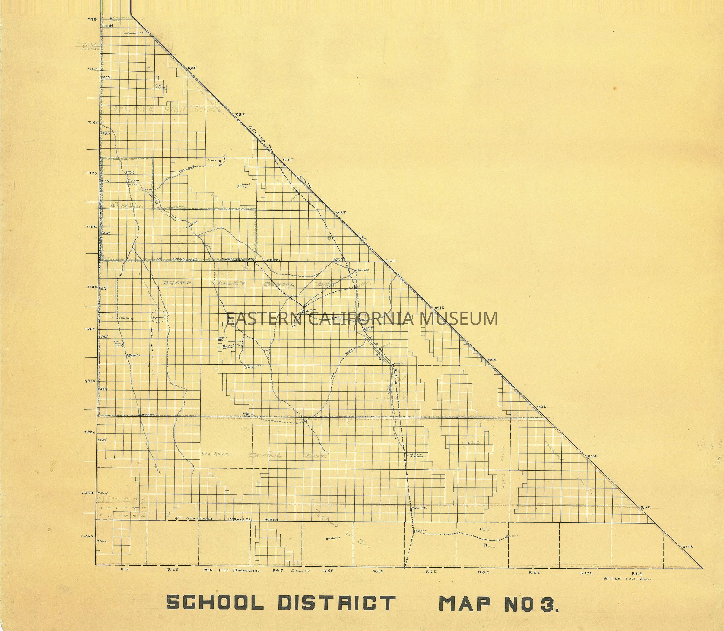
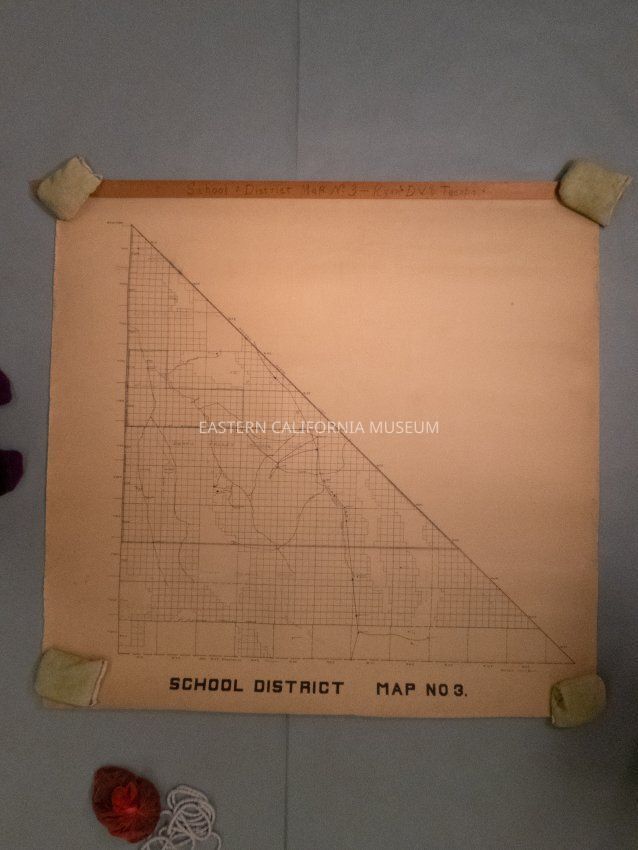
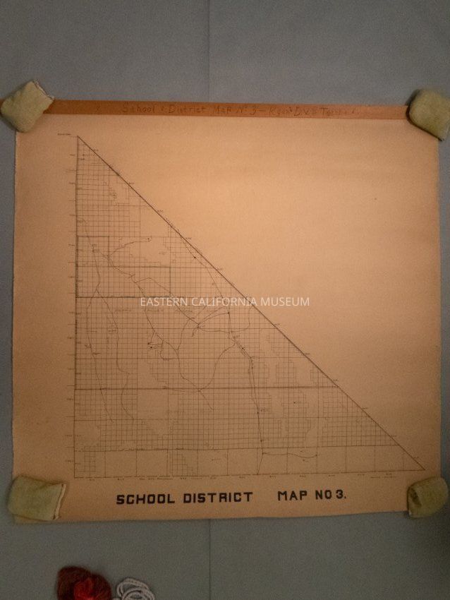
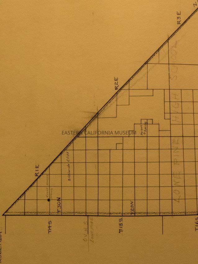
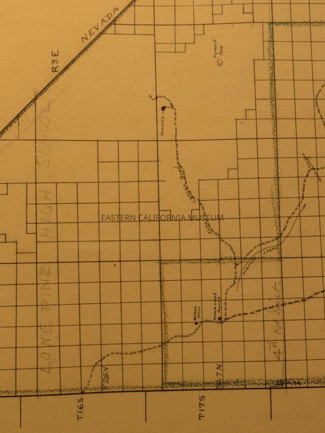
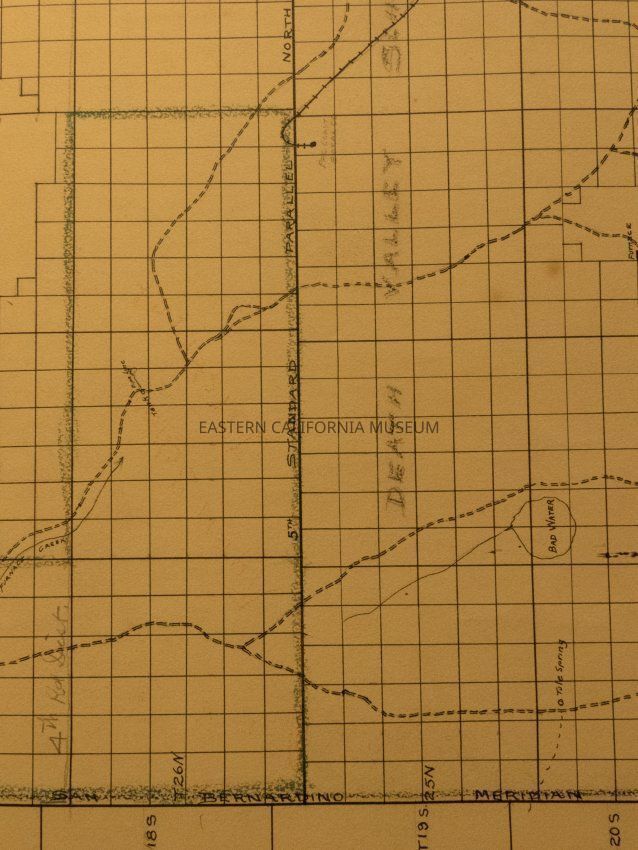
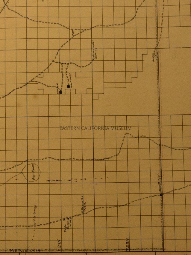
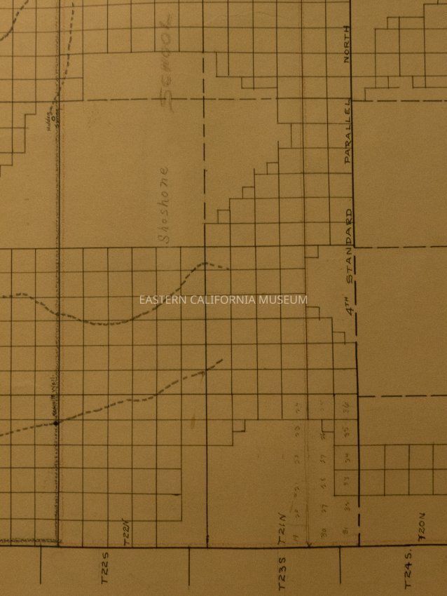
Name/Title
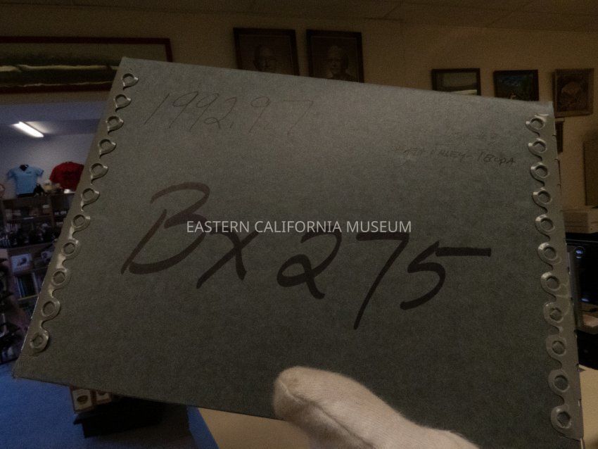
Map, platEntry/Object ID
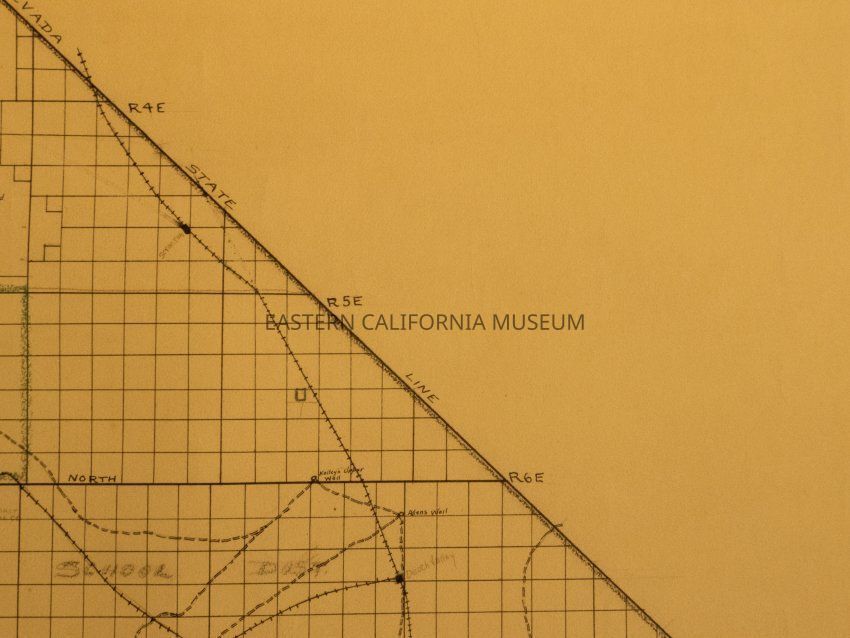
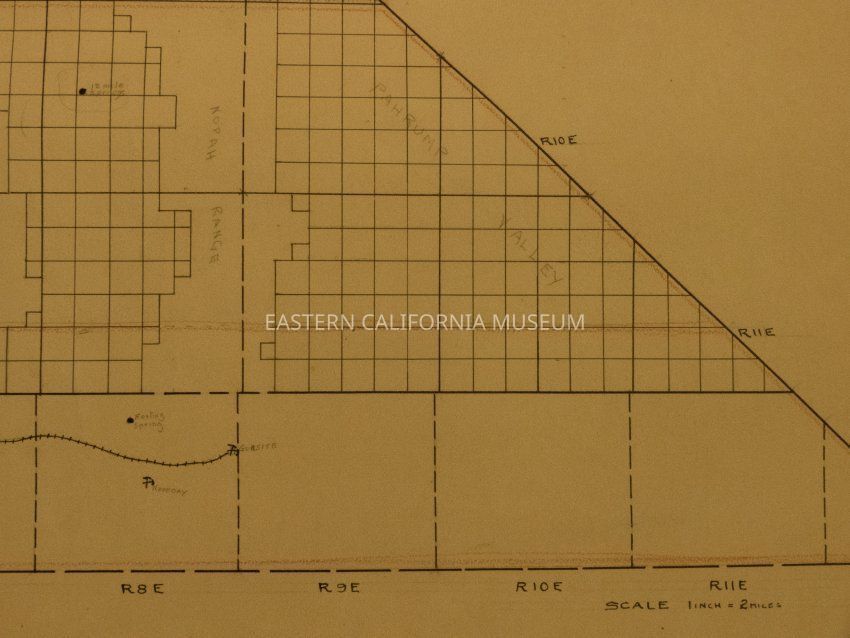
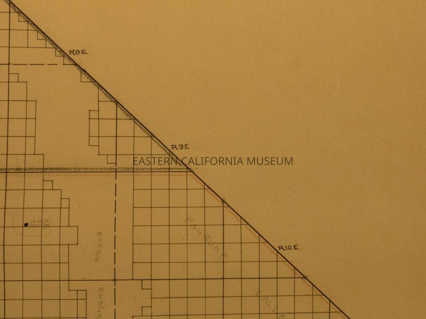
1992.9.7Description
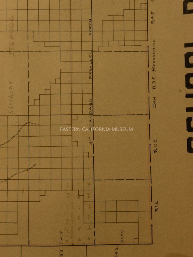
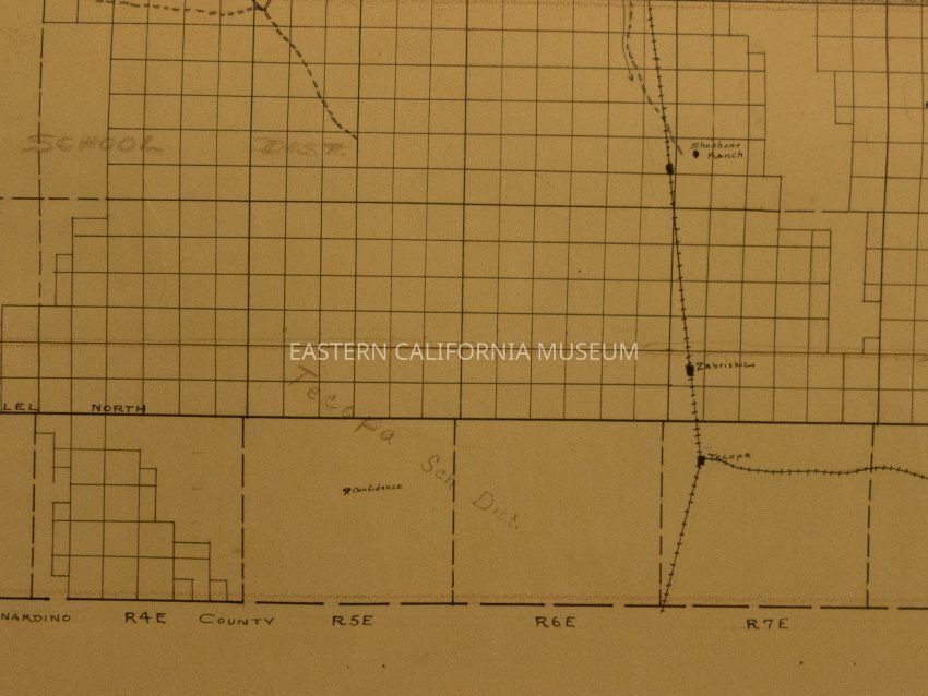
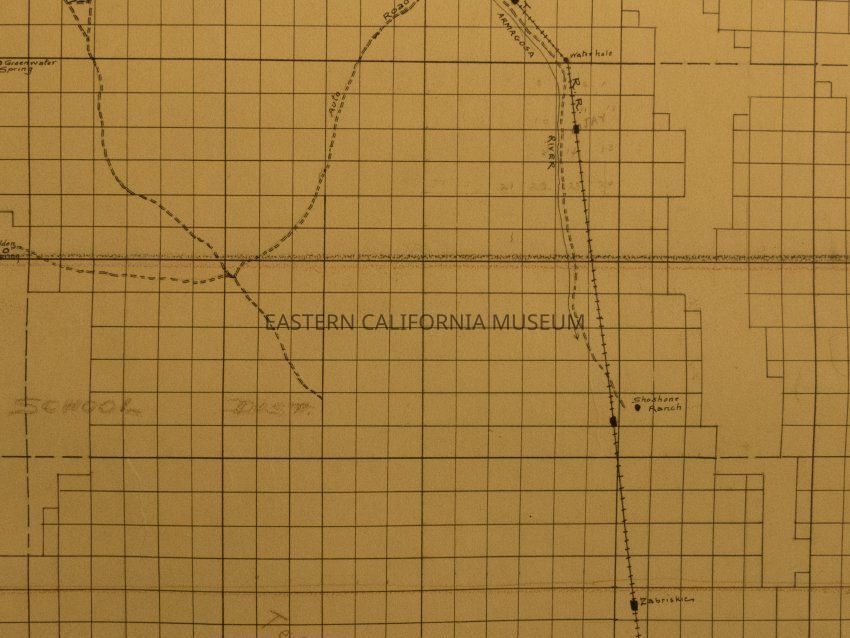
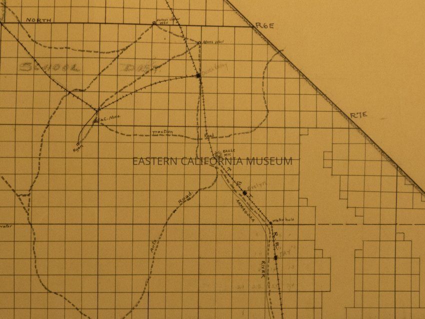
Plat map showing land ownership in School District No. 3 area (Death Valley and Tecopa). Shows schools, some mine sites, roads, and railroad. It dates to pre-1928.Provenance
Notes
From Inyo County Assessor's Office.