HUB
Collections
Classifications
About
App
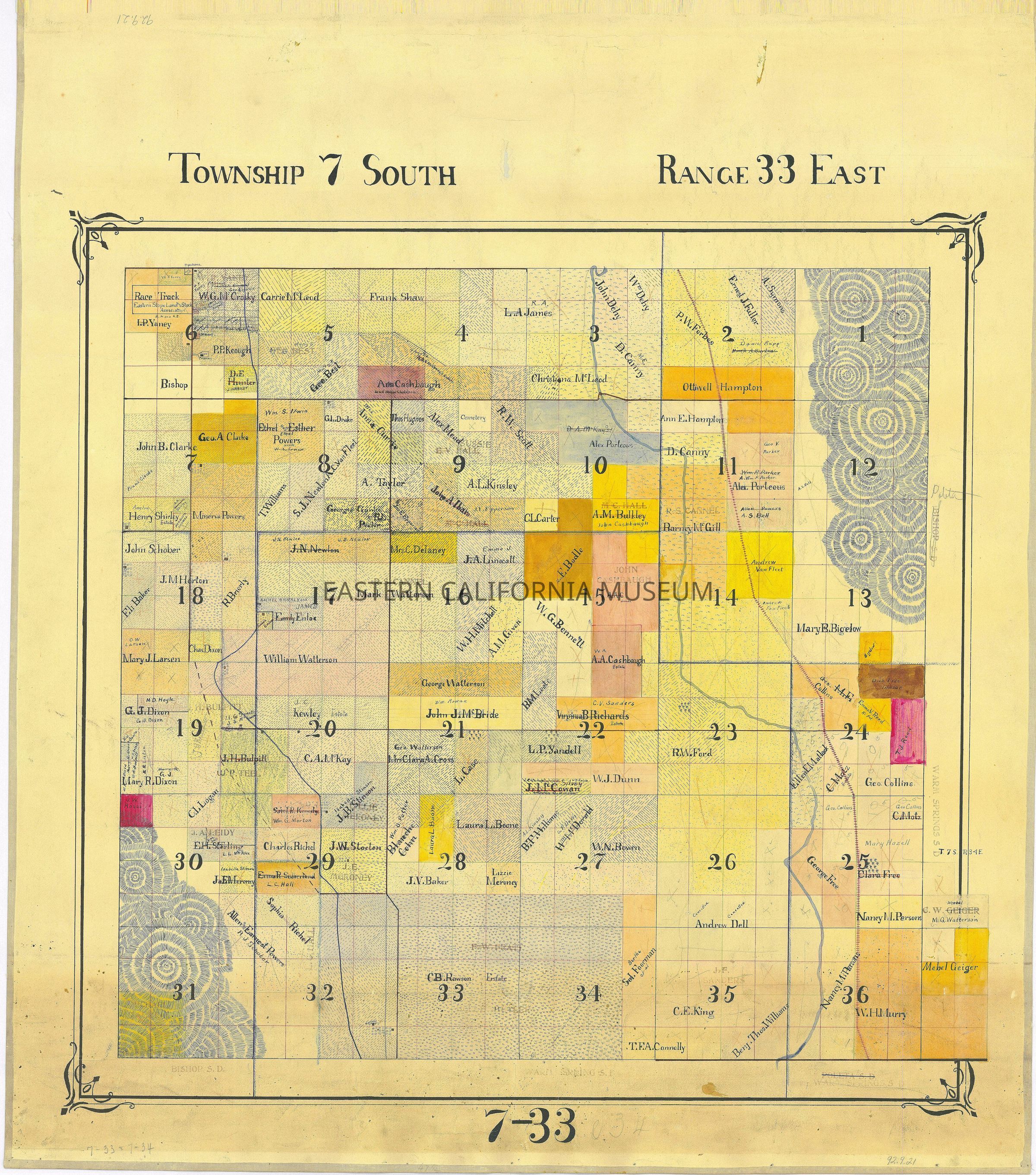
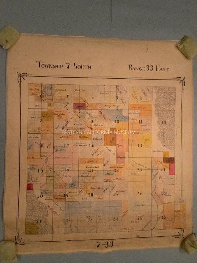
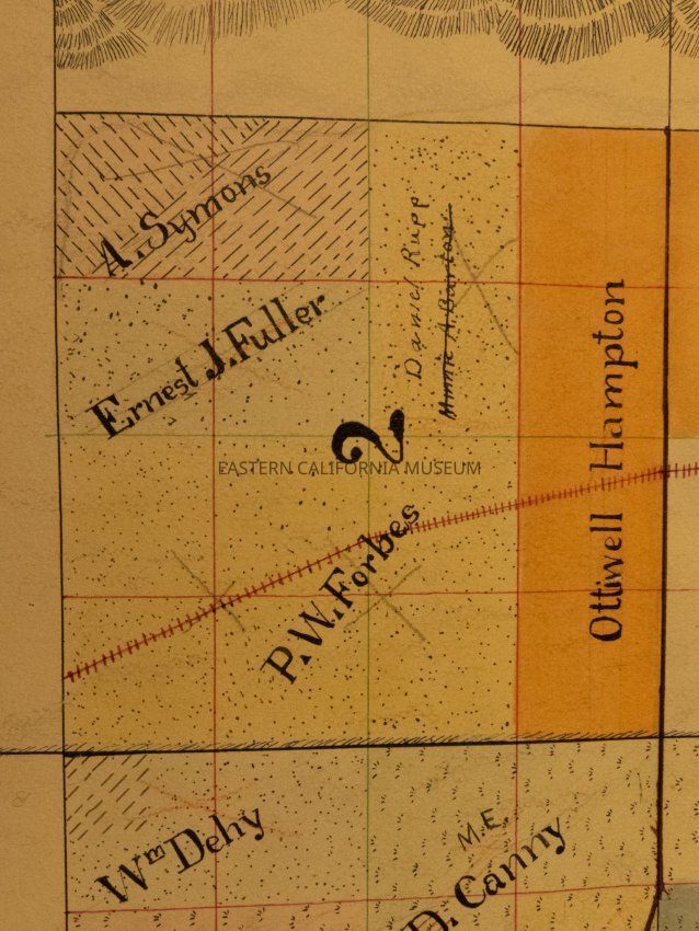
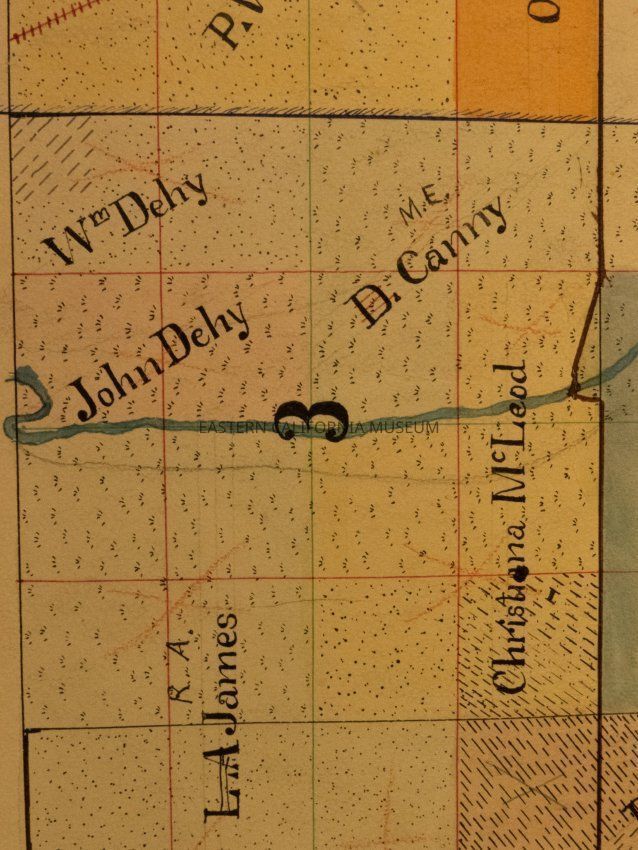
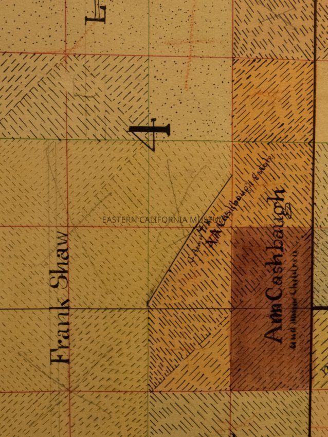
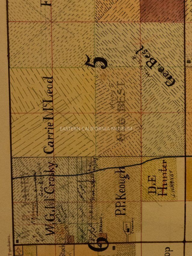
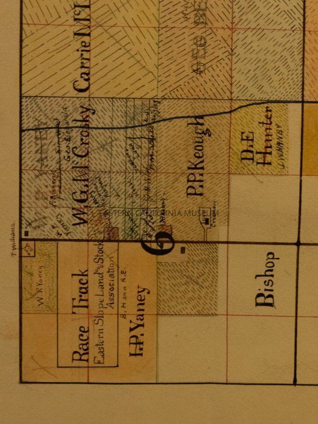
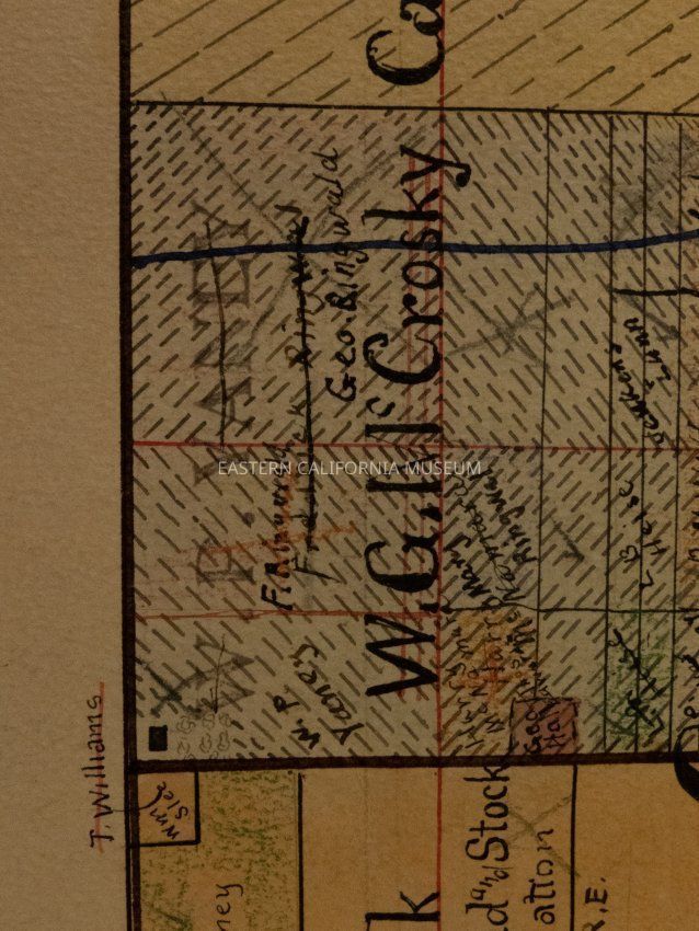
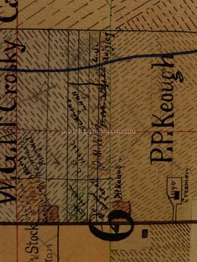
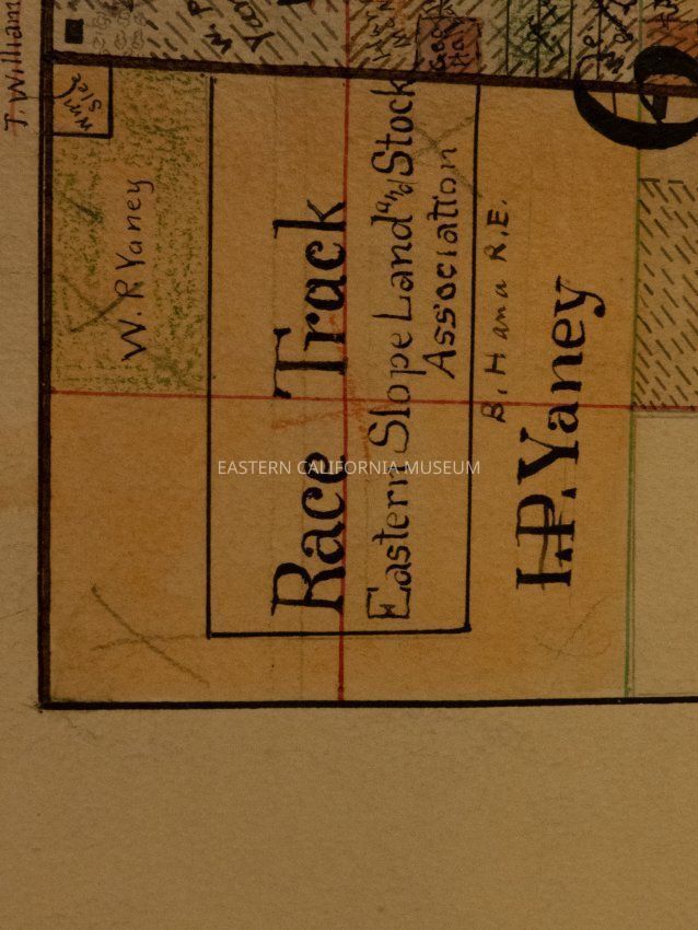
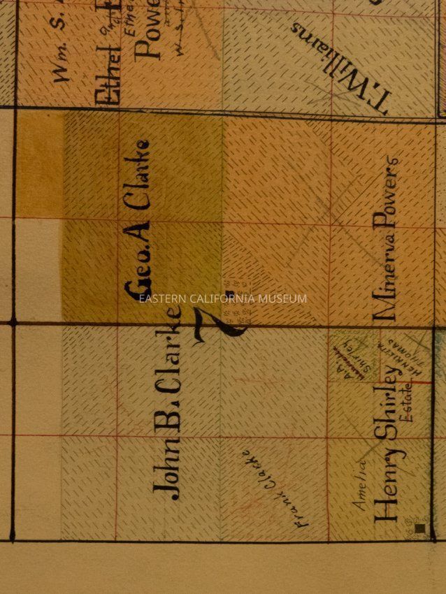
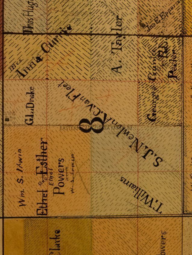
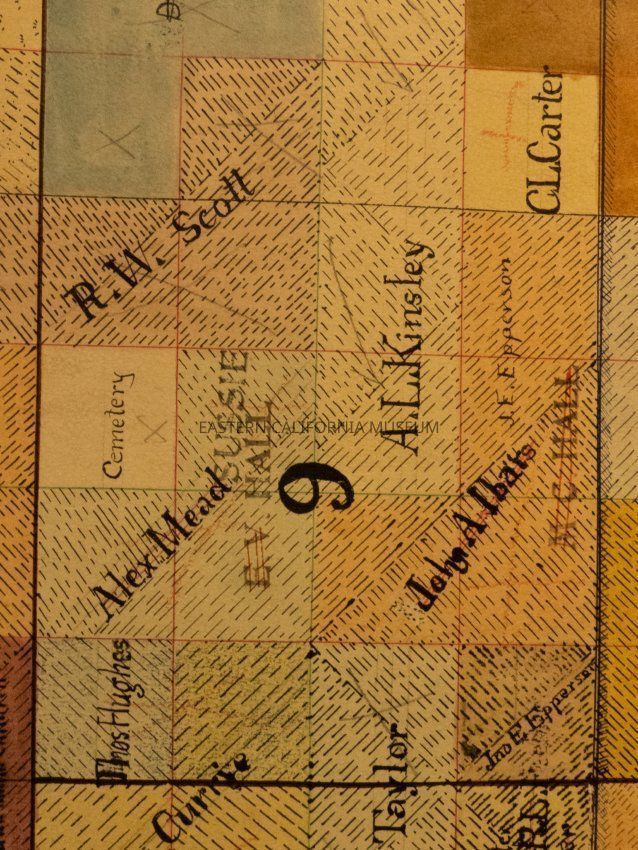
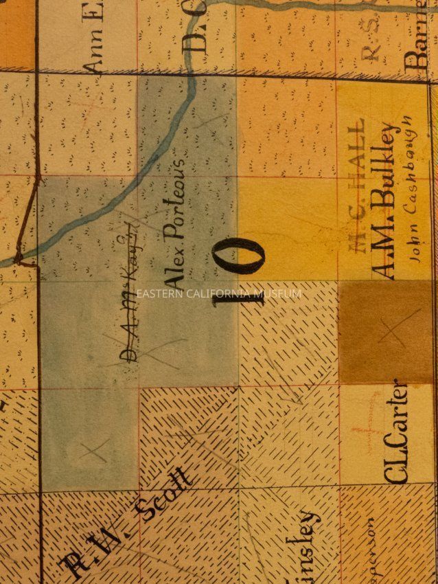
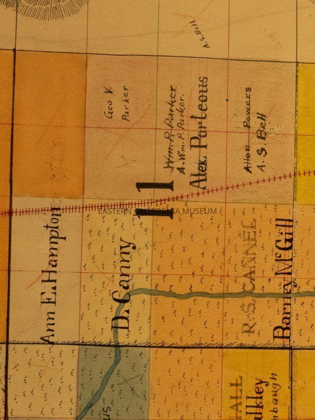
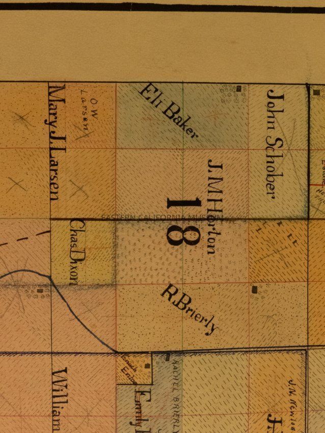
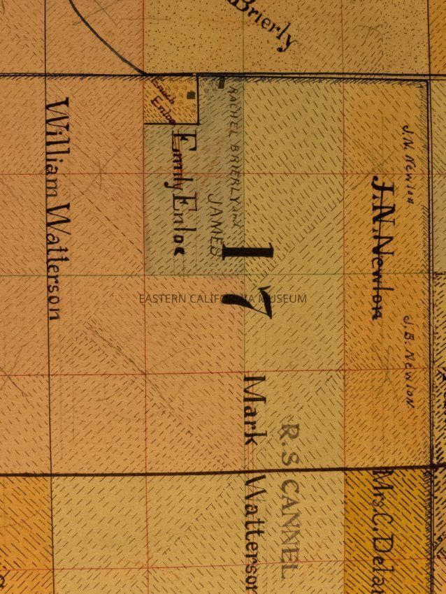
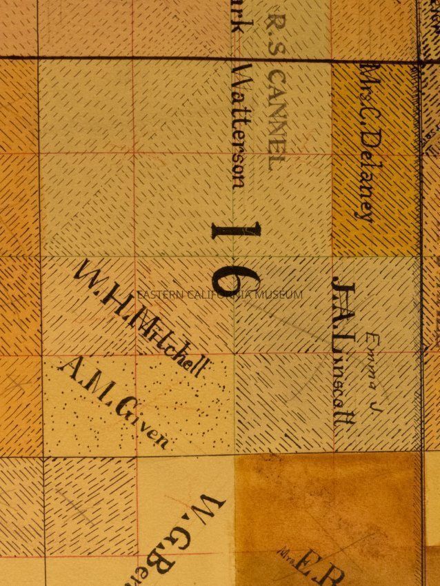
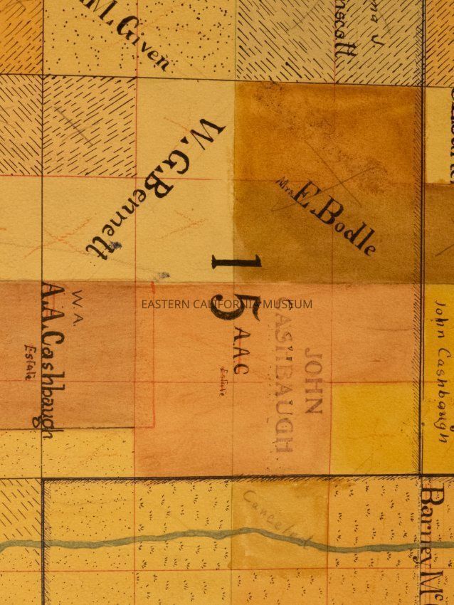
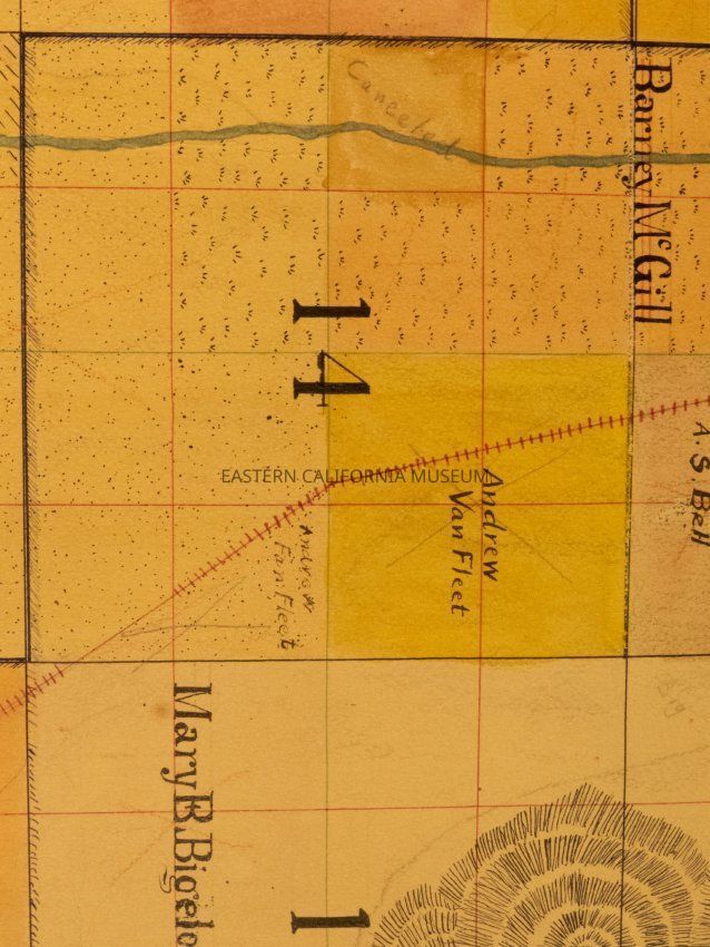
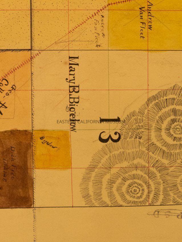
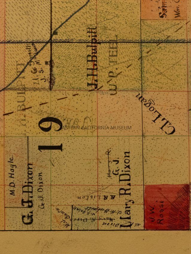
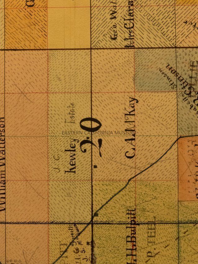
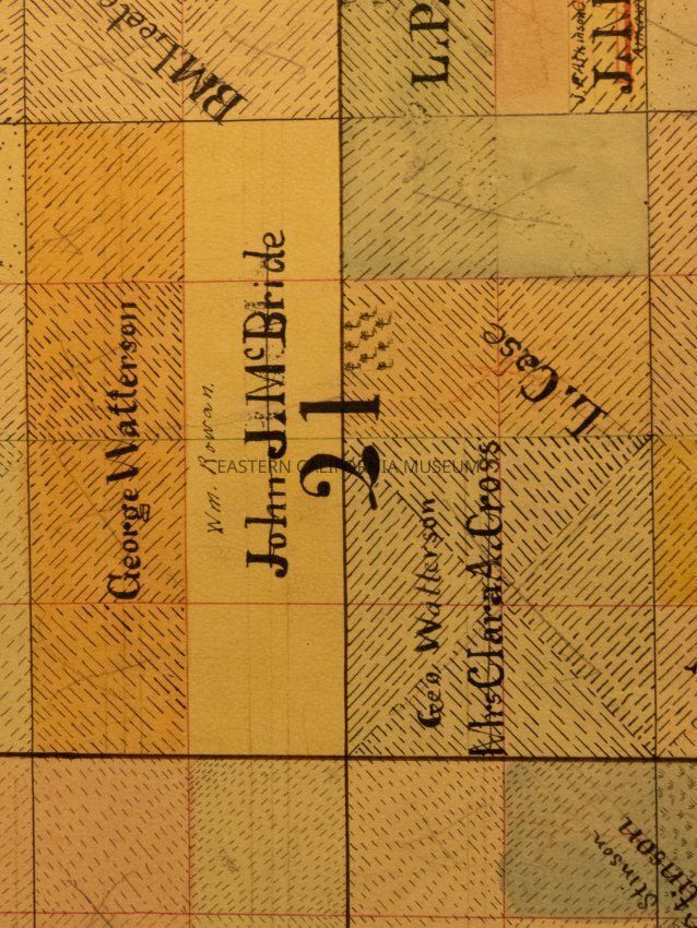
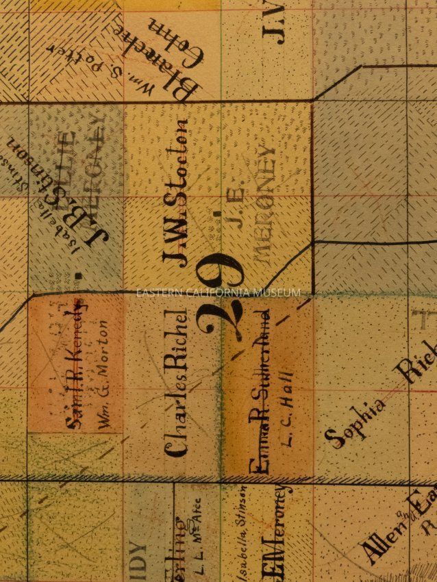
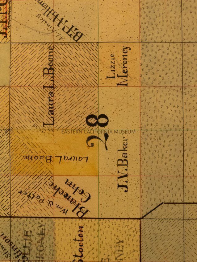
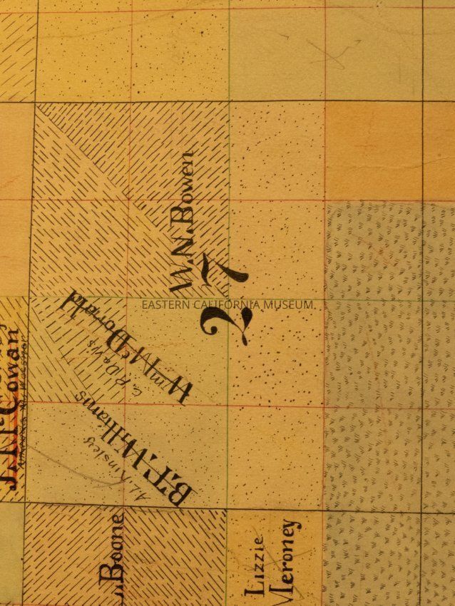
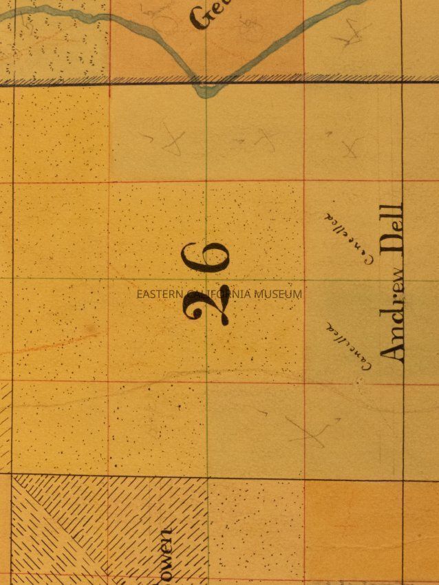
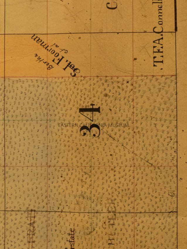
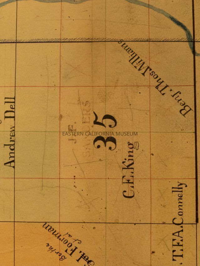
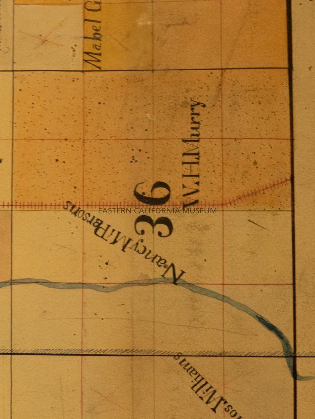
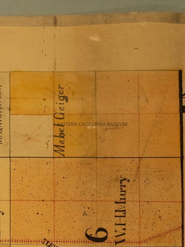
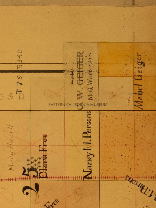
Map, plat
Object/Artifact
-
Eastern California Museum
Name/Title
Map, plat
Entry/Object ID
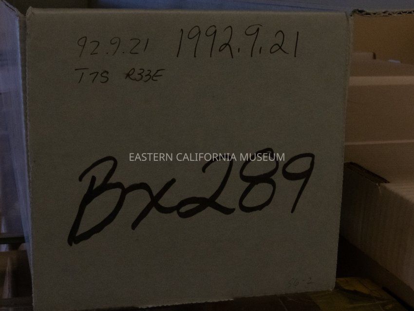
1992.9.21
Description
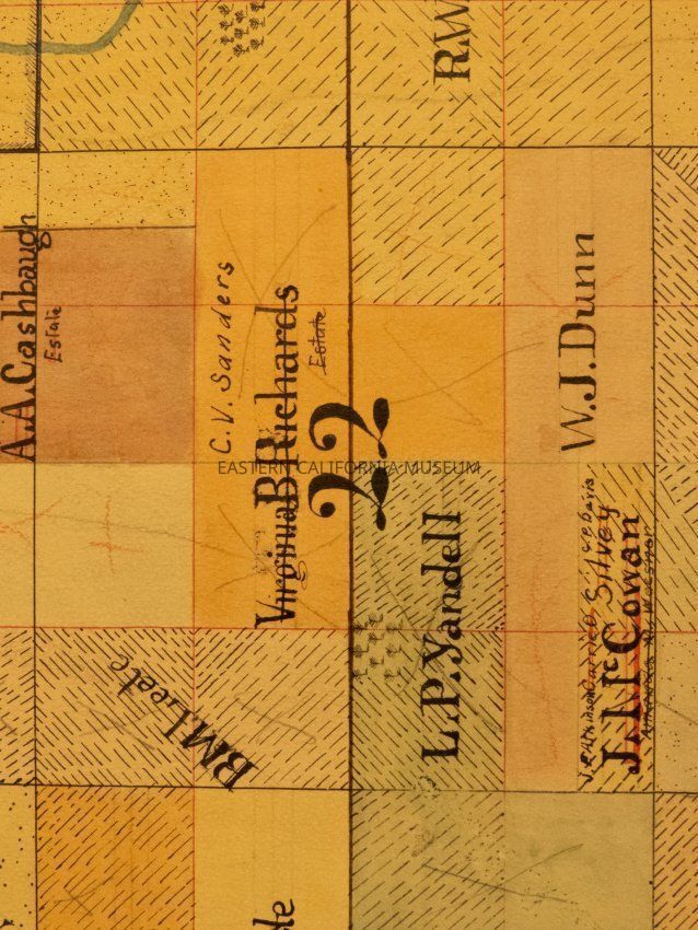
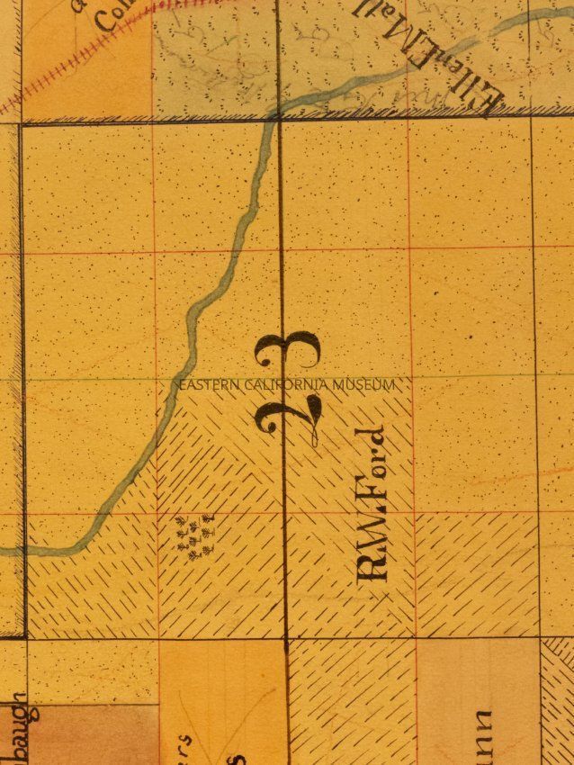
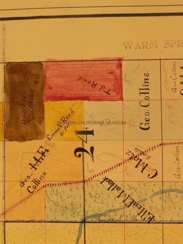
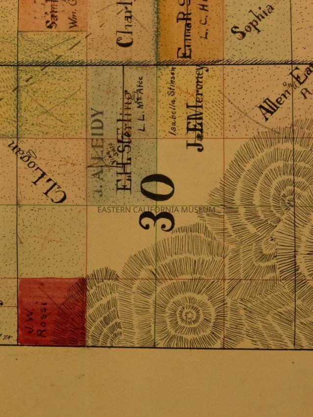
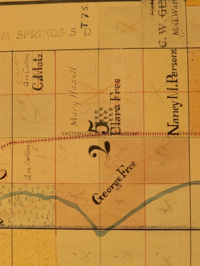
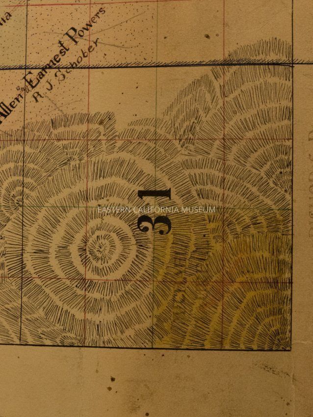
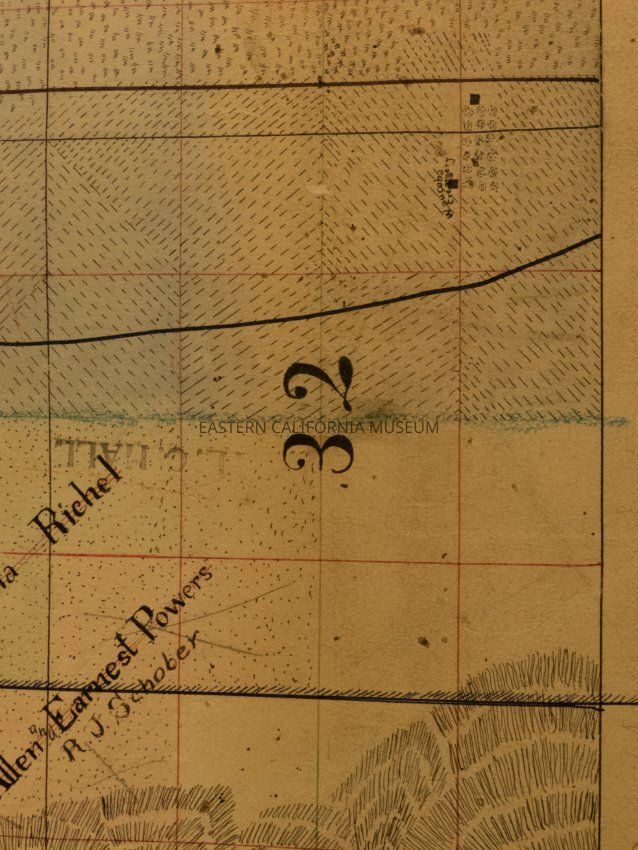
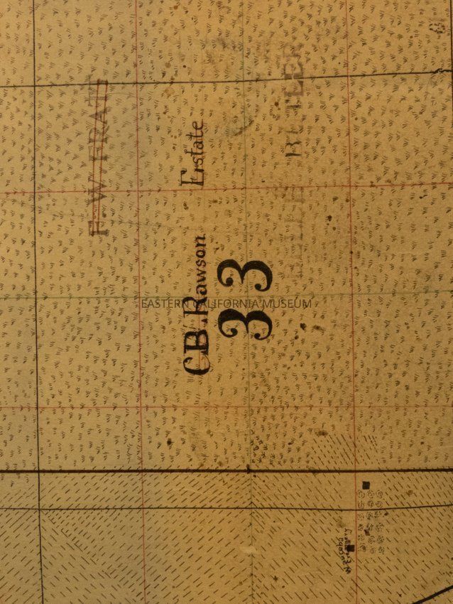
Plat map showing land ownership in the Warm Springs area circa 1900s-1920s. Township 7 South, Range 33 East.
Provenance
Notes
From Inyo County Assessor's Office.