Name/Title
Map, platEntry/Object ID
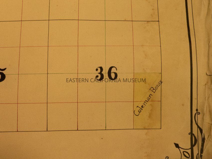
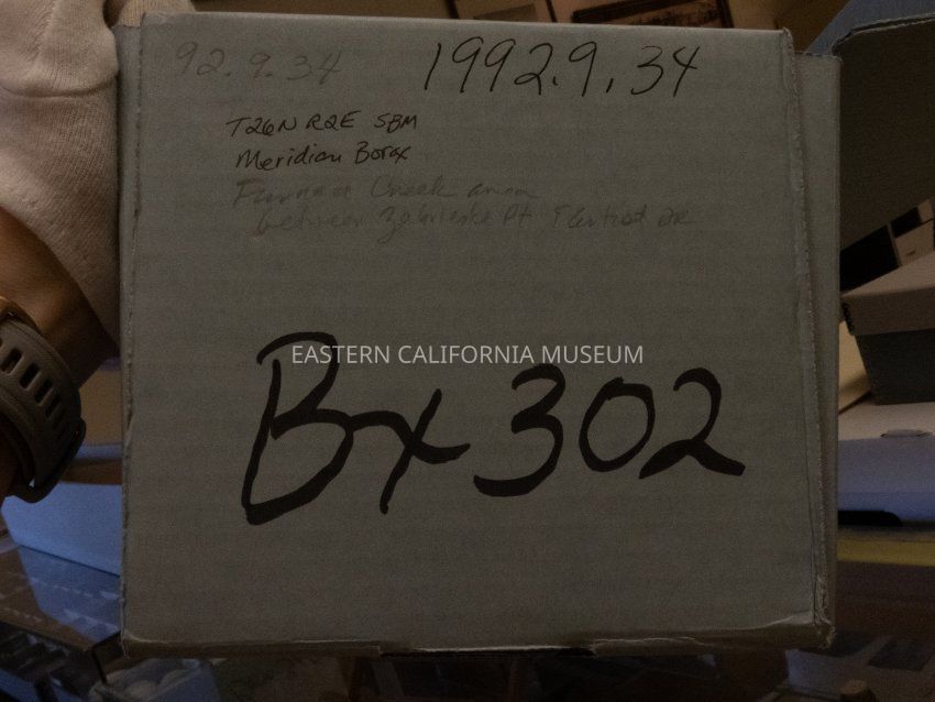
1992.9.34Description
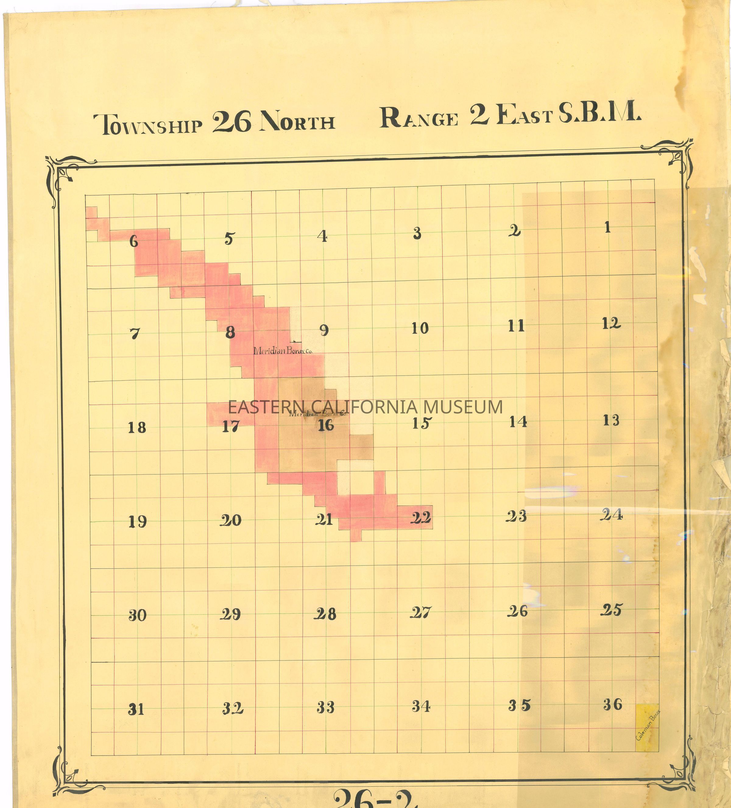
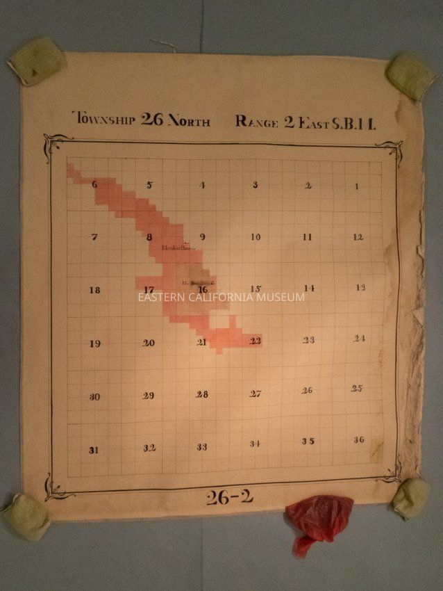
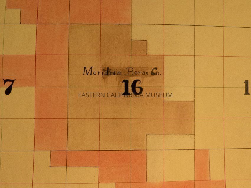
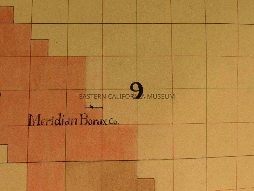
Plat map showing land ownership in the Furnace Creek area circa 1900s-1920s. Township 26 North, Range 2 East. Shows the San Bernardino Meridian (SBM).Provenance
Notes
From Inyo County Assessor's Office.