Name/Title
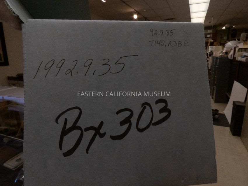
Map, platEntry/Object ID
1992.9.35Description
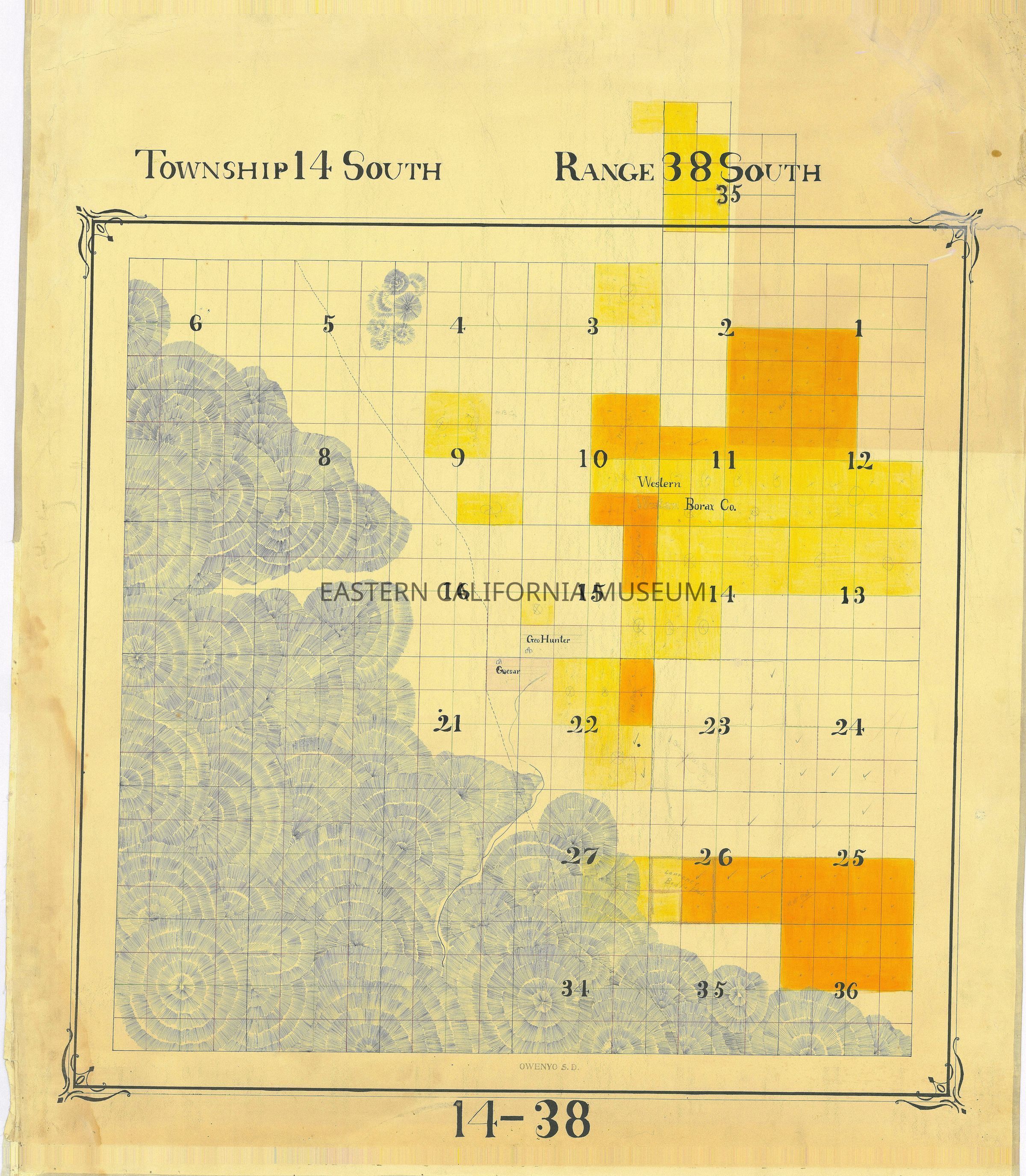
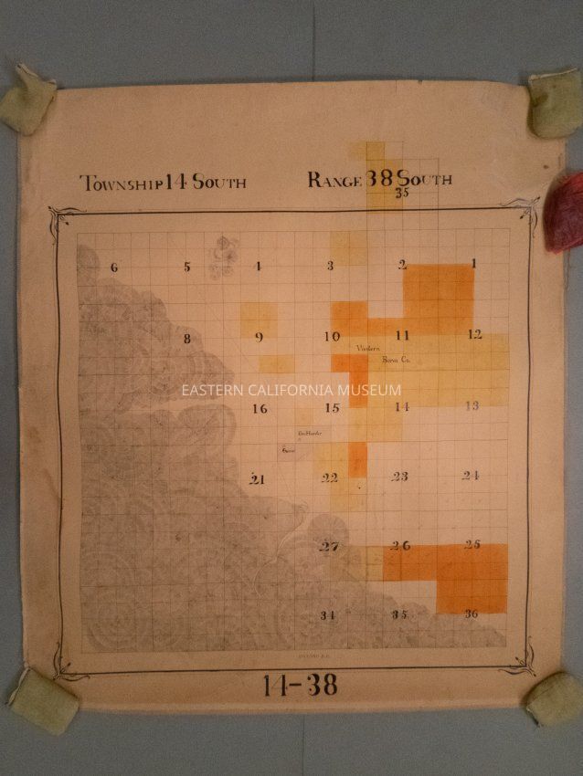
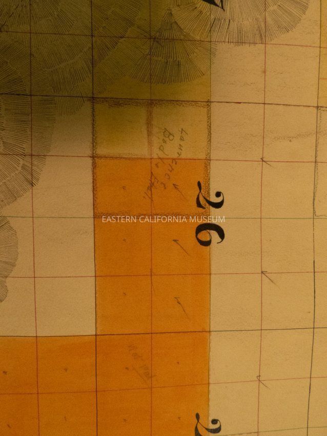
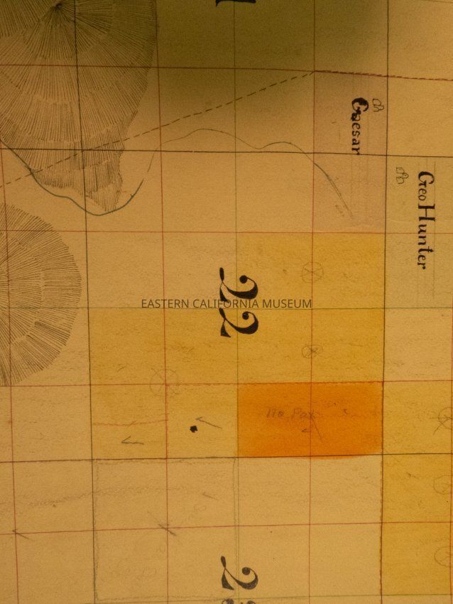
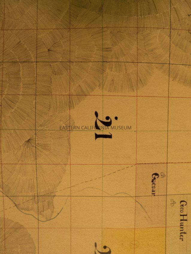
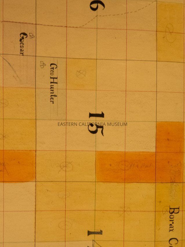
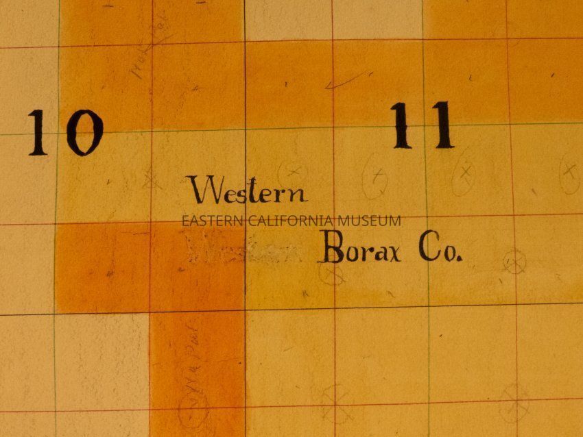
Plat map showing land ownership in the west side of the Saline Valley area circa 1900s-1920s. Township 14, Range 38 South [East].
Information from previous PP entry; The map says R38 South, but it is actually R38 East.Provenance
Notes
From Inyo County Assessor's Office.