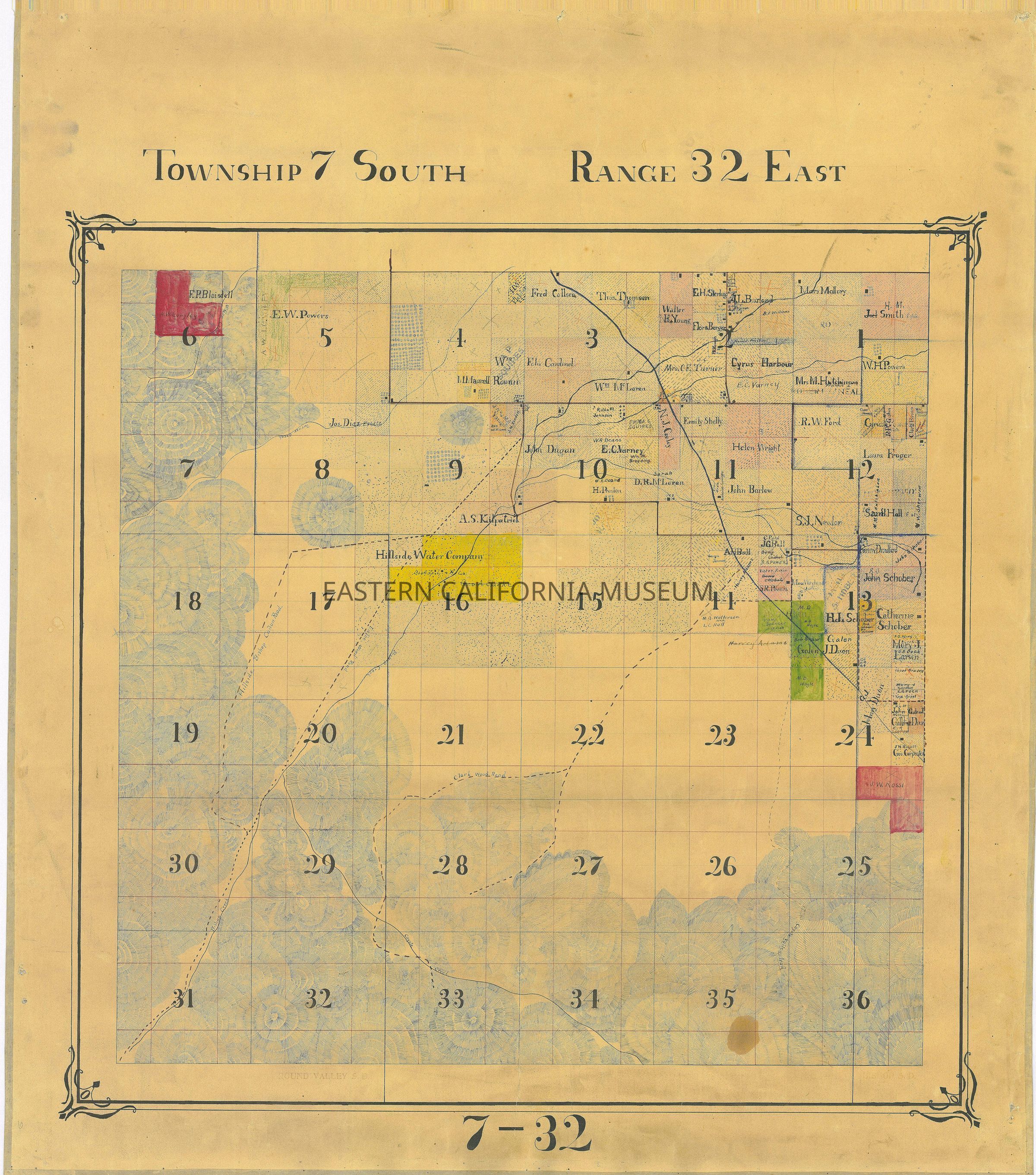
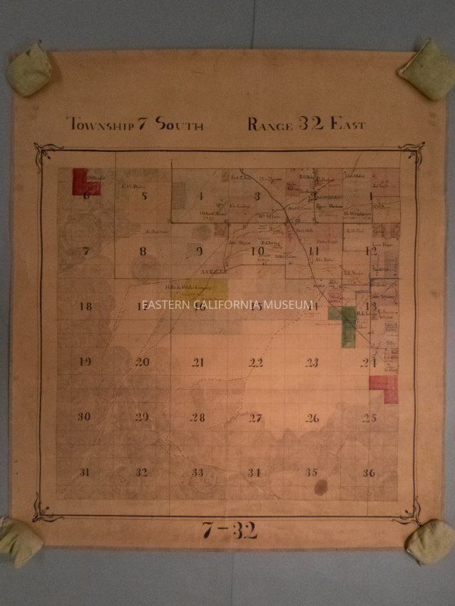
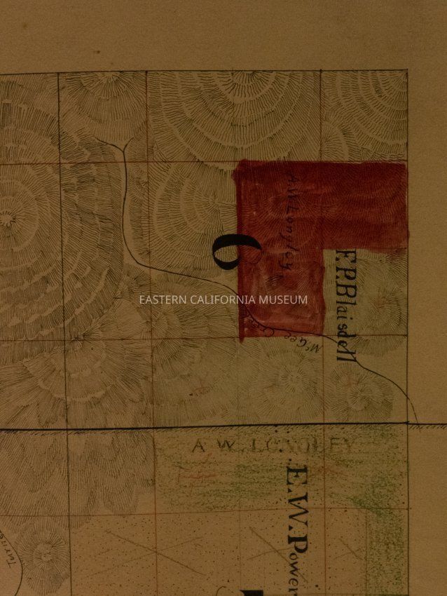
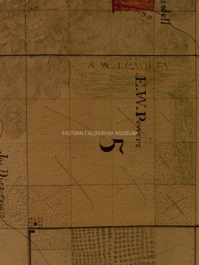
Name/Title
Map, platEntry/Object ID
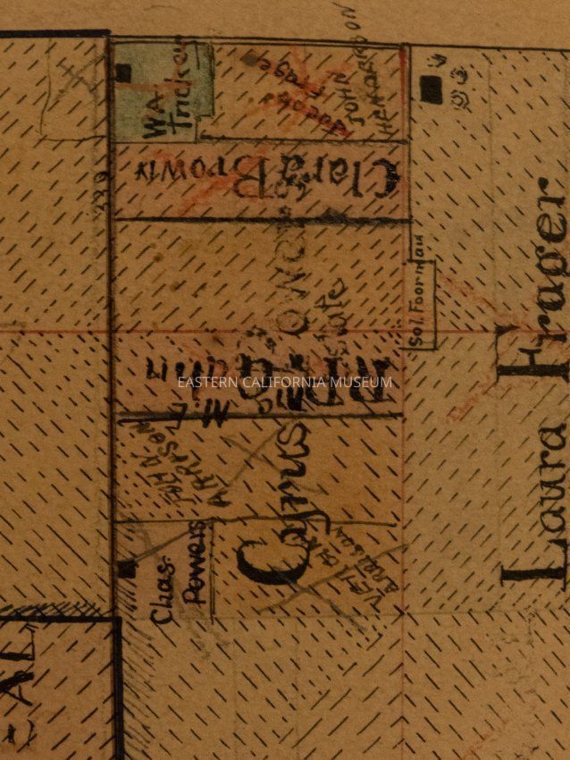
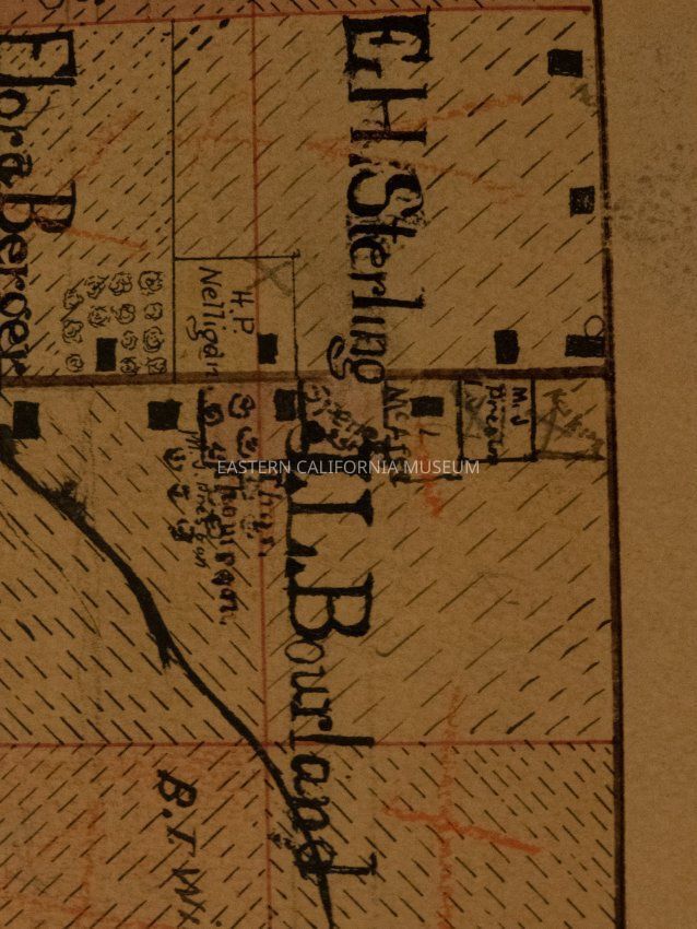
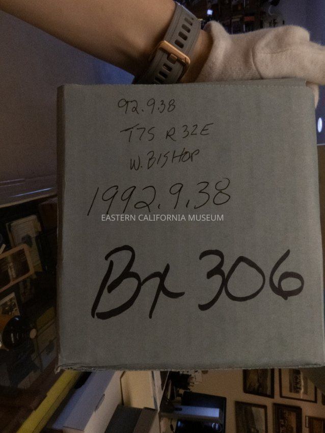
1992.9.38Description
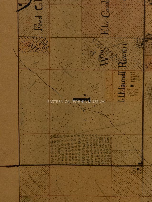
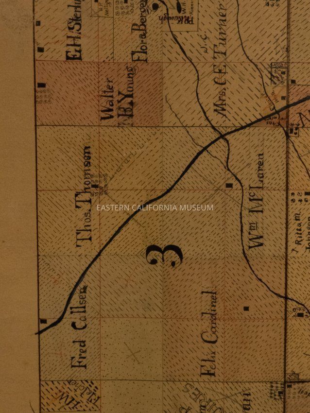
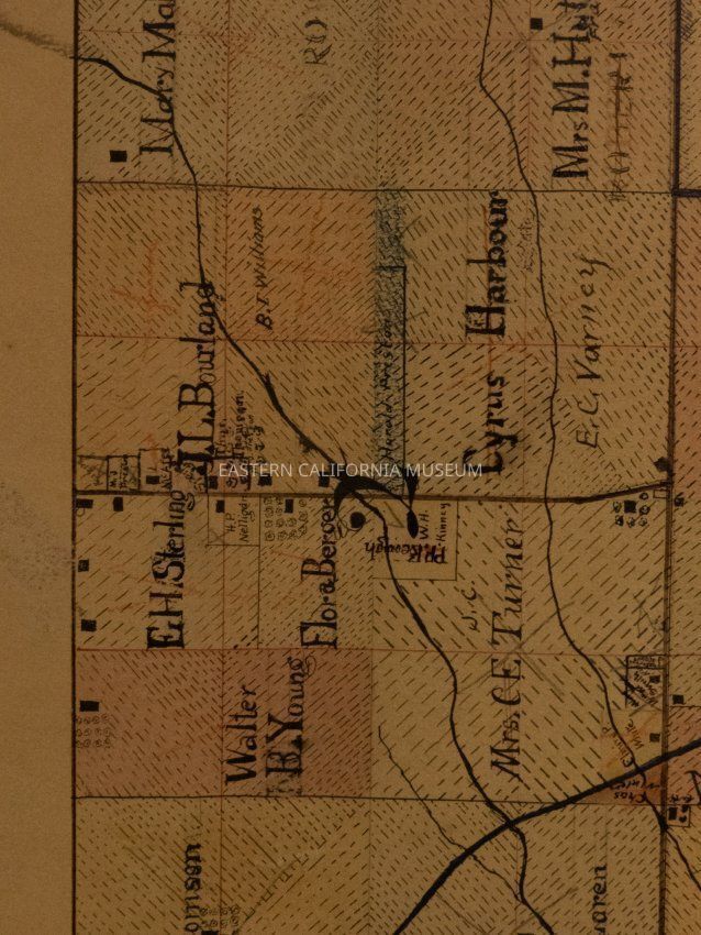
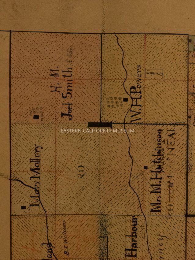
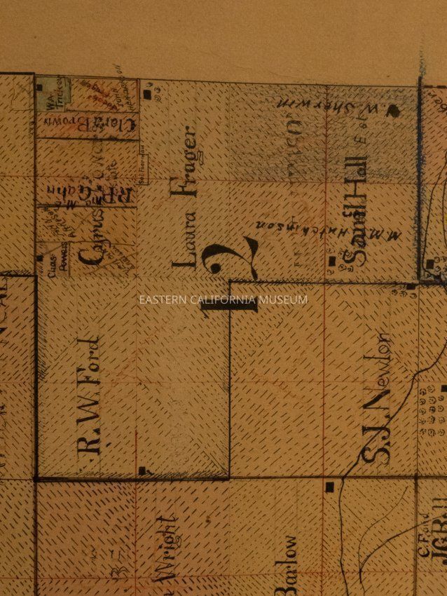
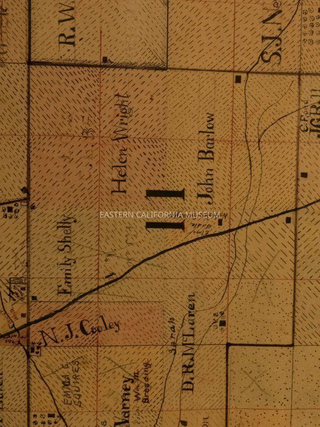
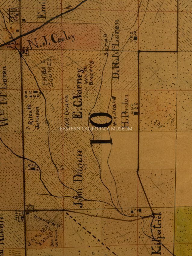
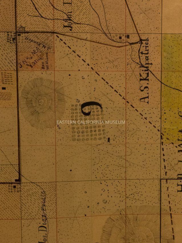
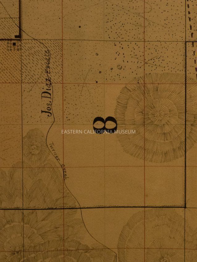
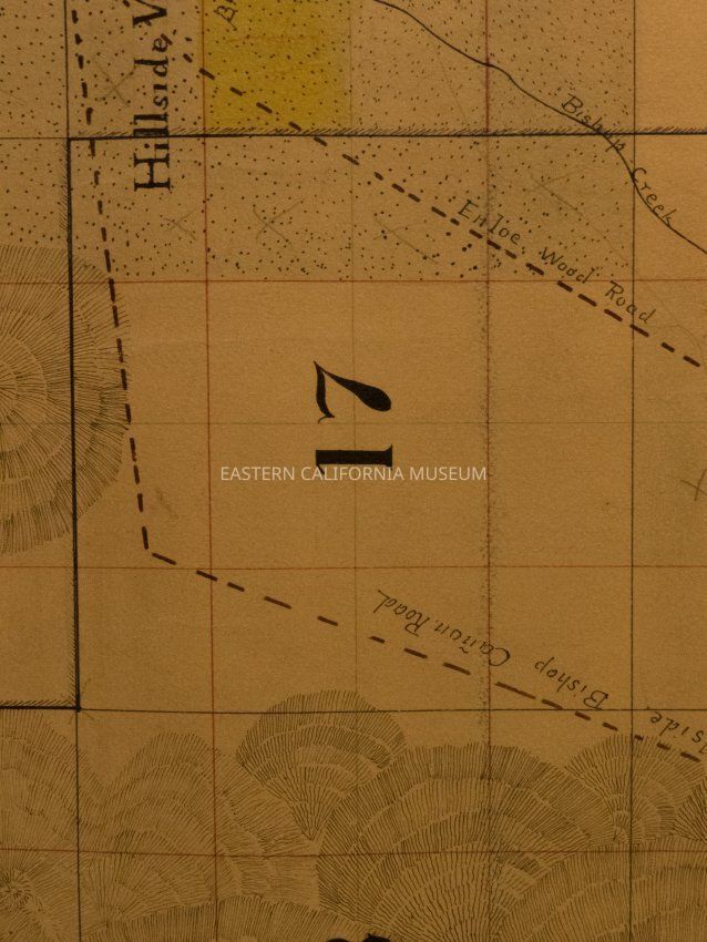
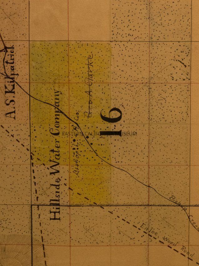
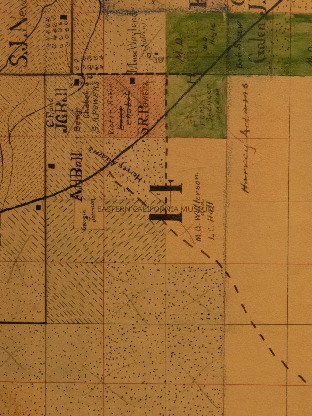
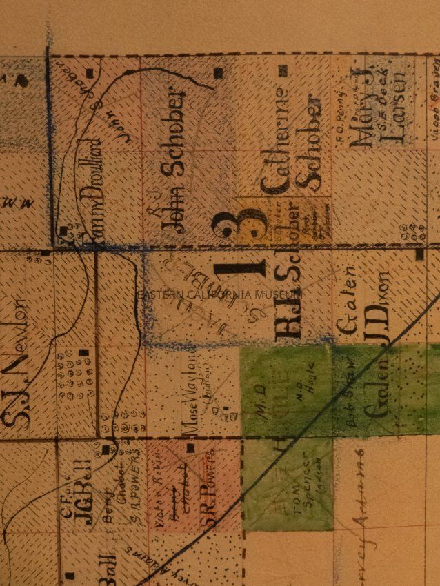
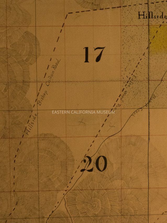
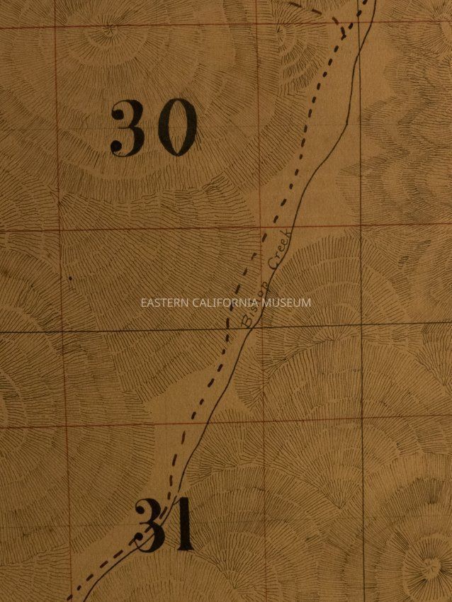
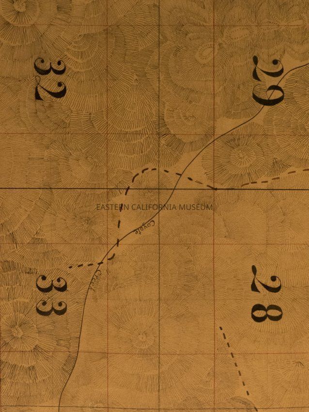
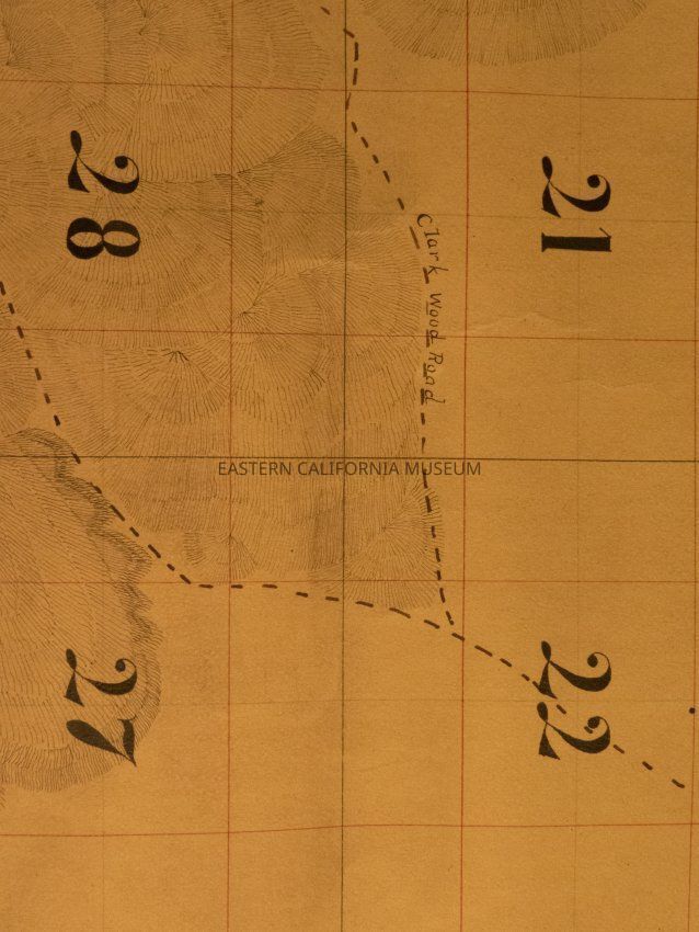
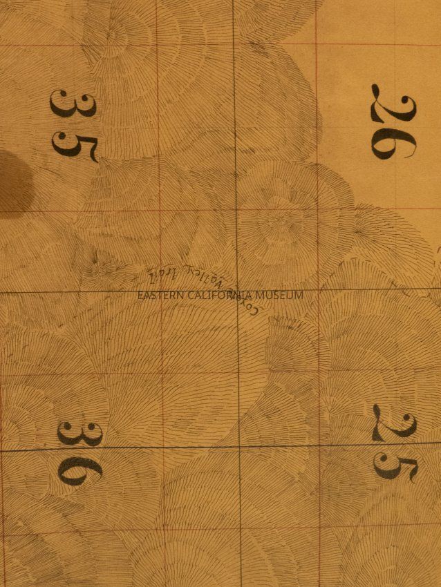
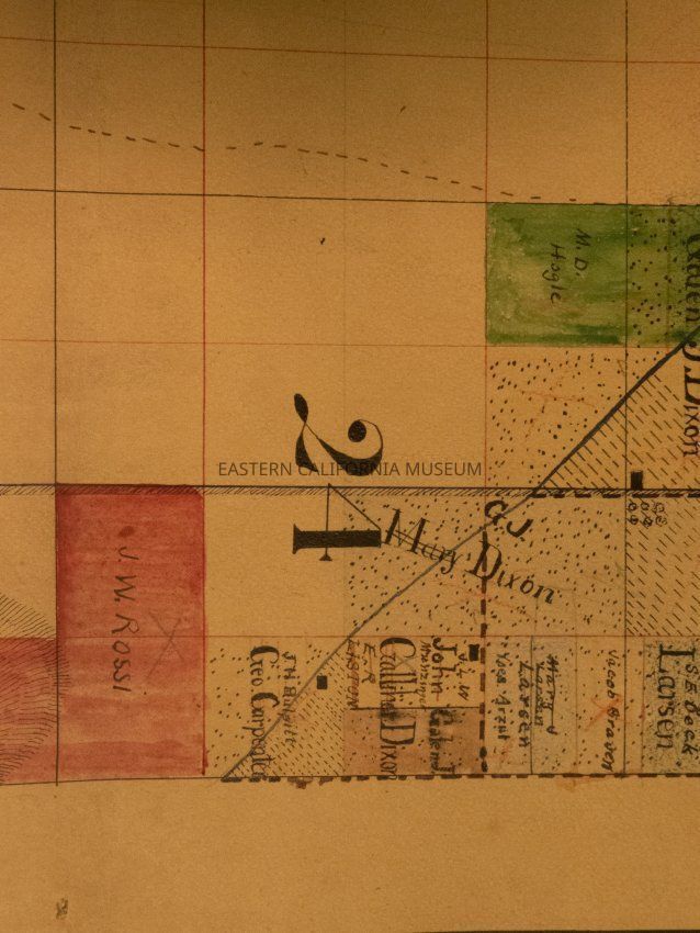
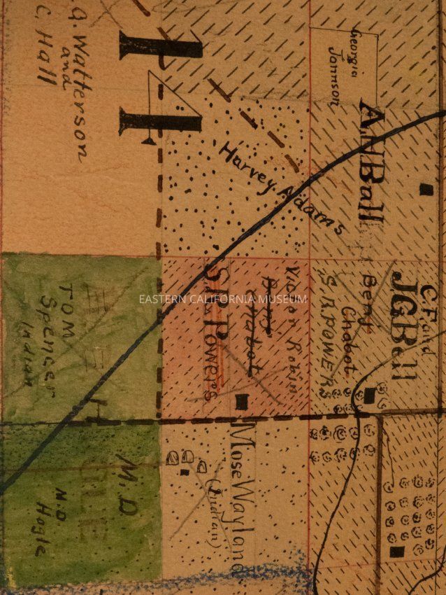
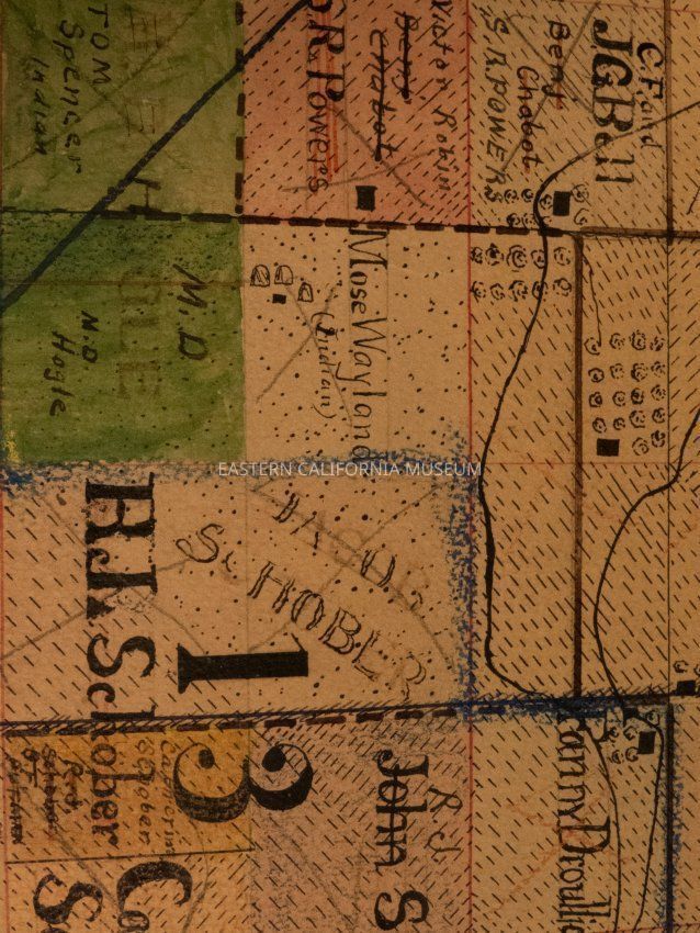
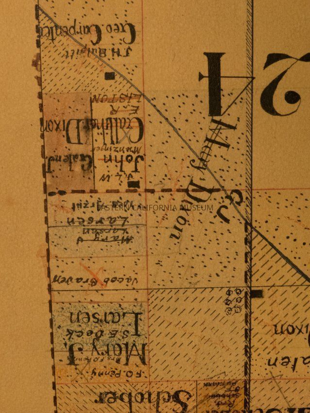
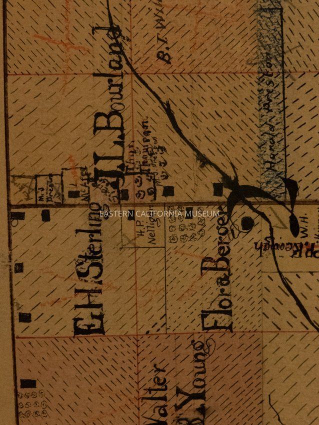
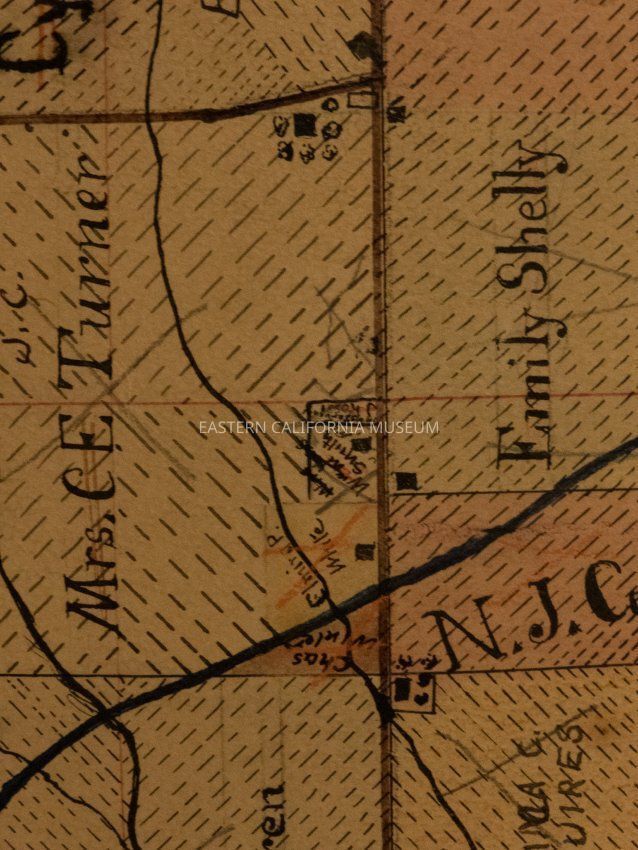
Plat map showing land ownership in the Round Valley area circa 1900s-1920s. Township 17 South, Range 38 East. [Or is it the West Bishop area, Township 7 South, Range 32 East?]Provenance
Notes
From Inyo County Assessor's Office.