Name/Title
MapEntry/Object ID
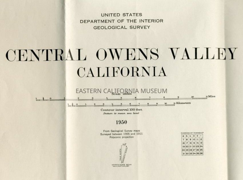
2004.14.106Description
Large colored map of the Central Owens Valley, California. Created by the United States Department of the Interior Geological Survey. Handwritten in black on front, "Central Owens Valley."
Reverse, handwritten in black, "Central Owens Valley. From Alabama Gates to Sherwin Hill."Collection
George Marsh Collection