Name/Title
MapEntry/Object ID
A805.1Description
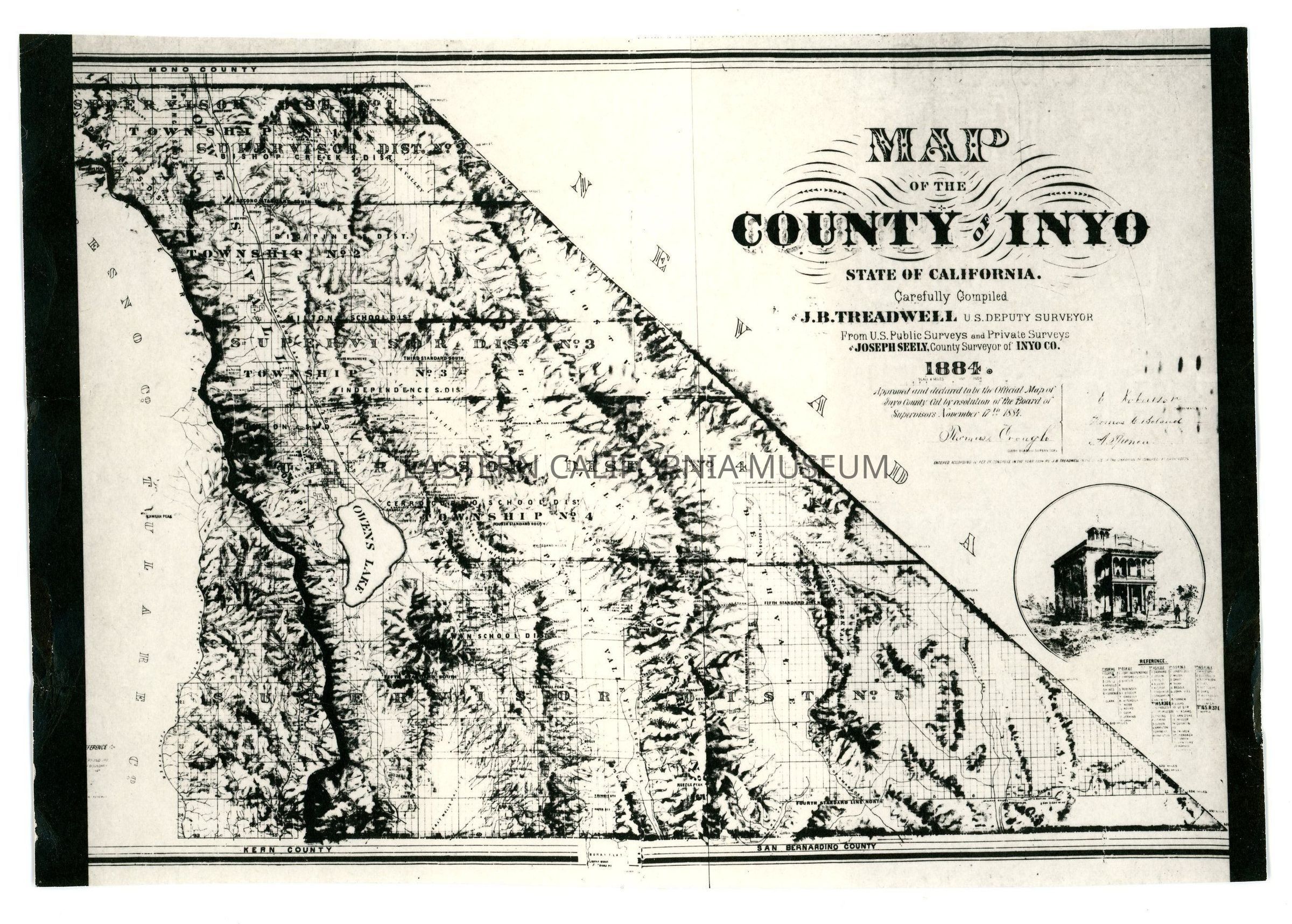
One of three photostat copies of a map of Inyo County, 1884. Compiled by J. B. Treadwell, U.S. Deputy Surveyor from U.S. Public Surveys and Private Surveys by Joseph Seely, County Surveyor of Inyo County. Map is the first official Inyo County map made for Inyo County. Shows old ranches in the town areas, etc. Two copies measure 6.5" x 8" and the third copy measures 16" x 14". This copy measures 8.5" x 6".
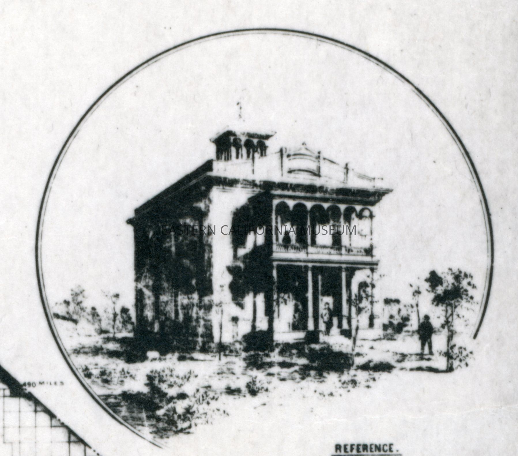
There is an image of the second courthouse, which burned down in the 1886 fire, on the map.
NOTE: One of these copies may be in FLATTENING as of 2023, though the measurements seem off.