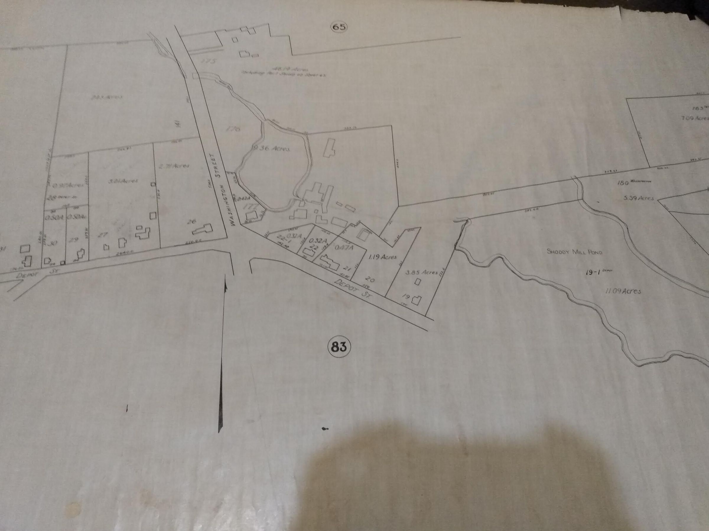
Plan of Easton Bordering West Bridgewater
Name/Title
Plan of Easton Bordering West BridgewaterEntry/Object ID
26Description
This plan is clearly part of a whole larger plan of Easton. It includes some of: Washington Street, Depot Street, Shoddy Mill Pond and Turnpike Street. It also shows West Bridgewater as a border.Category
Plans
Rolled Items