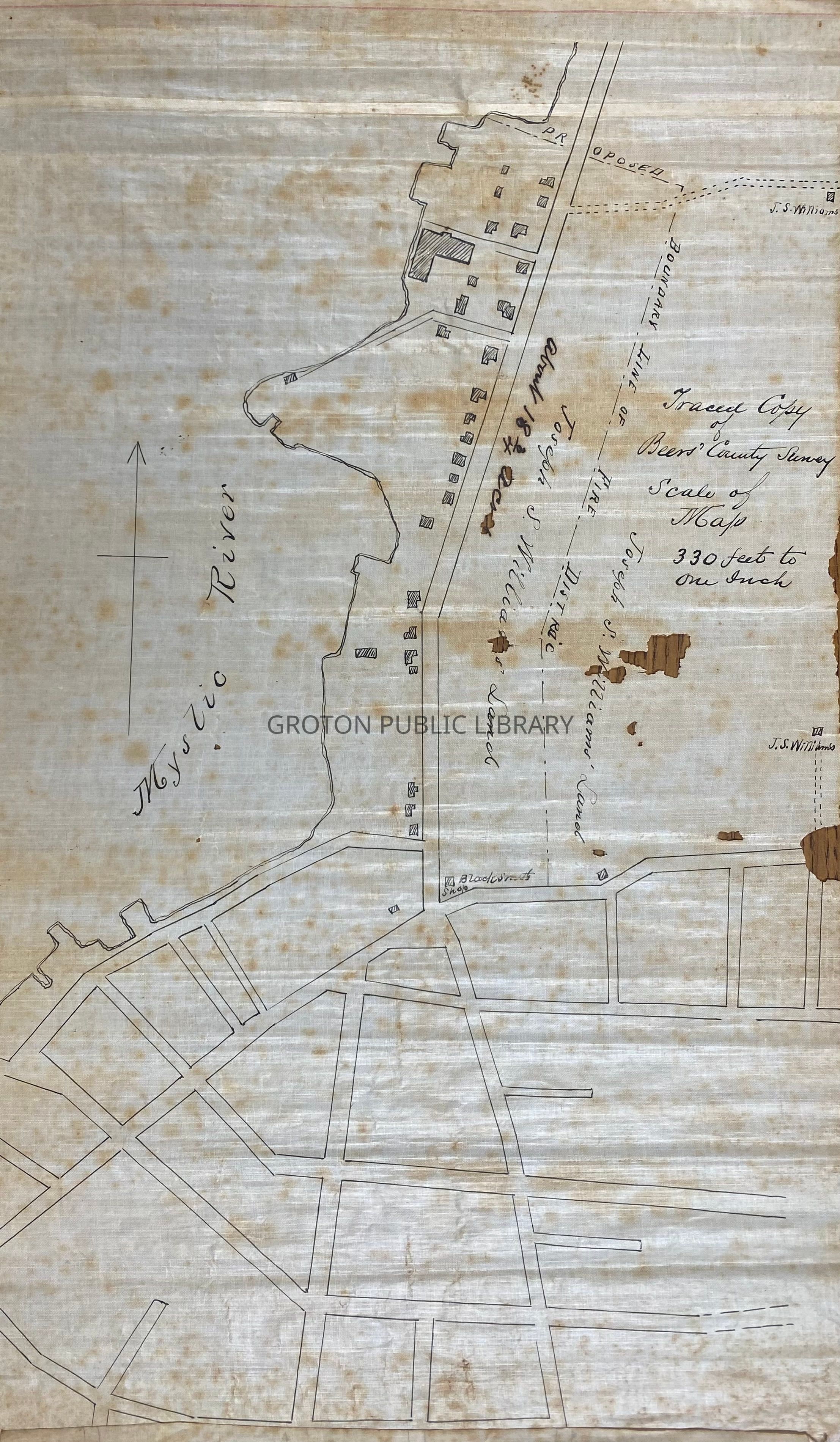
Hand drawn map, traced from the 1868 Beers Atlas Map of Mystic River & Mystic Bridge, showing the farmland of Joseph S. Williams along Greenmanville Ave., Mystic.
Collection
Carol Kimball Collection
Acquisition
Accession
2026.040
Source or Donor
Carol Kimball
Acquisition Method
Transfer
Lexicon
Nomenclature 4.0
Nomenclature Secondary Object Term
Map
Nomenclature Primary Object Term
Cartograph
Nomenclature Sub-Class
Graphic Documents
Nomenclature Class
Documentary Objects
Nomenclature Category
Category 08: Communication Objects
Search Terms
Greenmanville Shipyard
Provenance
Notes
Part of a collection of records collected by Carol Kimball during her tenure as the Town of Groton Historian; given to the Groton Historical Society following her death; stored for several years at the Avery Copp Museum; donated to the Groton Public Library 2026