Name/Title
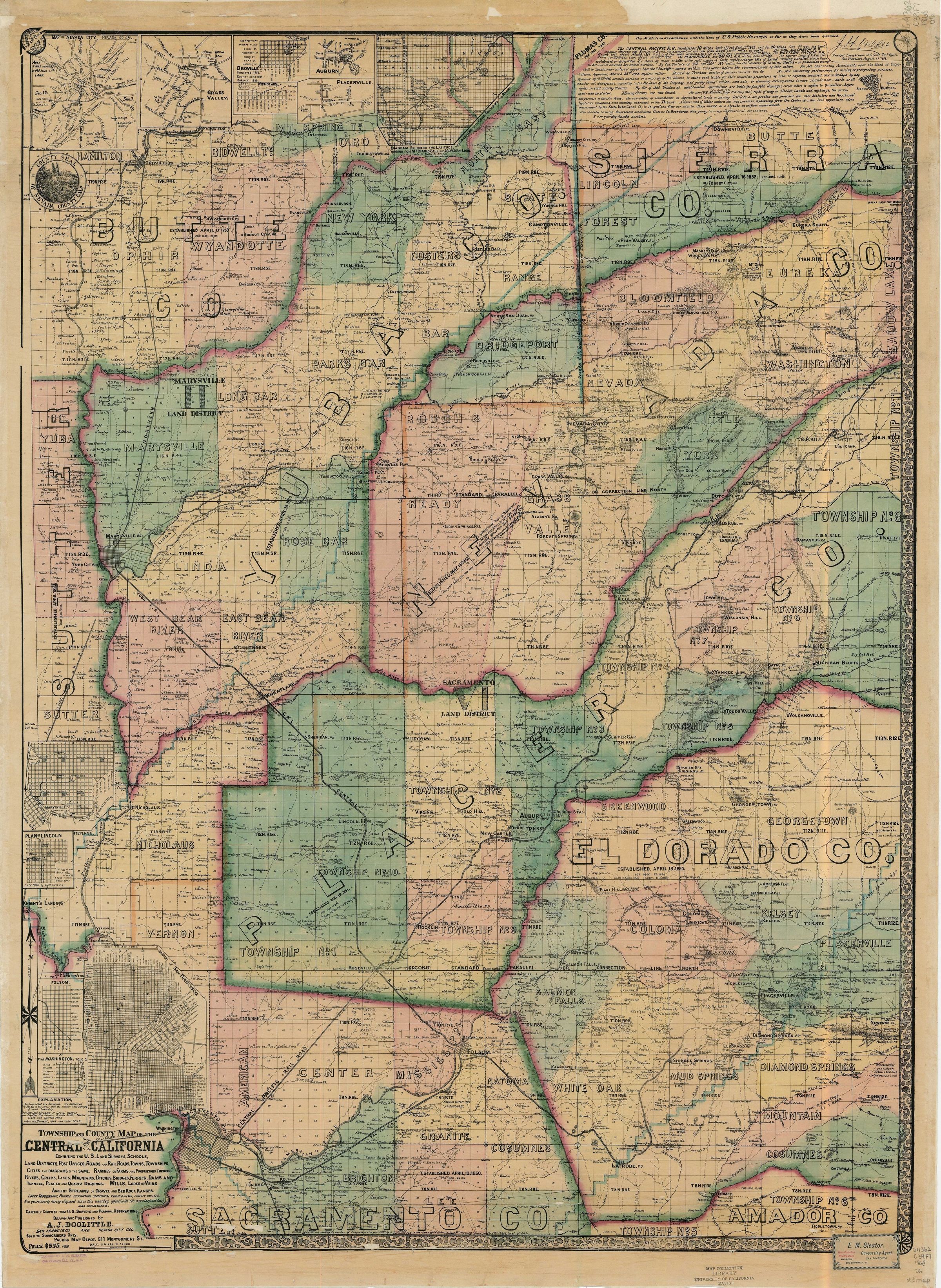
1868 Dolittle MapDescription
This is an 1868 map drawn and published by A. J. Dolittle "Exhibiting the U.S. Land Surveys, Schools, Land Districts, Post Offices, Road and Railroads, Townships, Cities and Diagrams of the Same. Ranches or Farms and Proprietors Thereof. Rivers, Creeks, Lakes, Mountains, Ditches, Bridges, Ferries, Dams and Tunnels, Placer and Quartz Diggings. Mills, Lodes or Veins, Ancient Streams or Gravel or Bed Rock Ranges. Carefully compiled from U.S. surveys and Personal Observations."Context
Includes the counties of: Butte, Yuba, Sierra, Nevada, Placer, El Dorado and portions of Sacramento.