Name/Title
Brynhaven SubdivisionEntry/Object ID
M2011.1.6Description
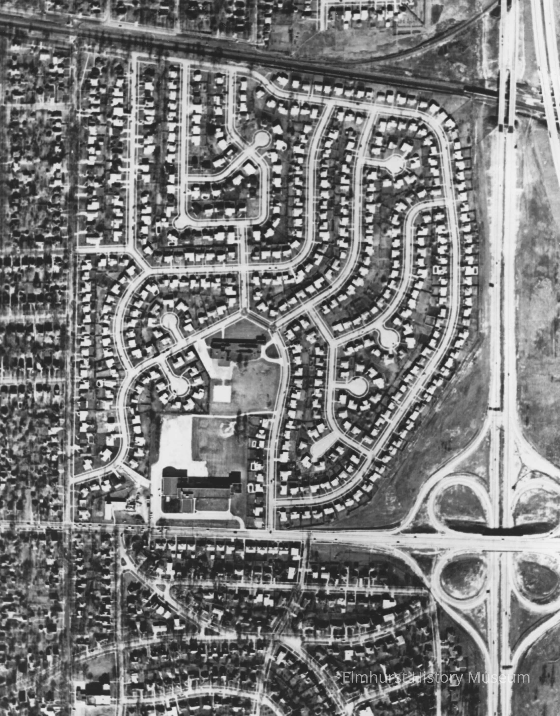
Aerial view of Brynhaven Subdivision. It is bordered by Poplar Avenue on the west, I-290 on the east, St. Charles Road on the south and Park Avenue on the north. It was developed circa 1954-1958.Photograph Details
Type of Photograph
Black and White PrintMade/Created
Date made
circa 1958Time Period
1950sInscription/Signature/Marks