HUB
Collections
Classifications
About
App
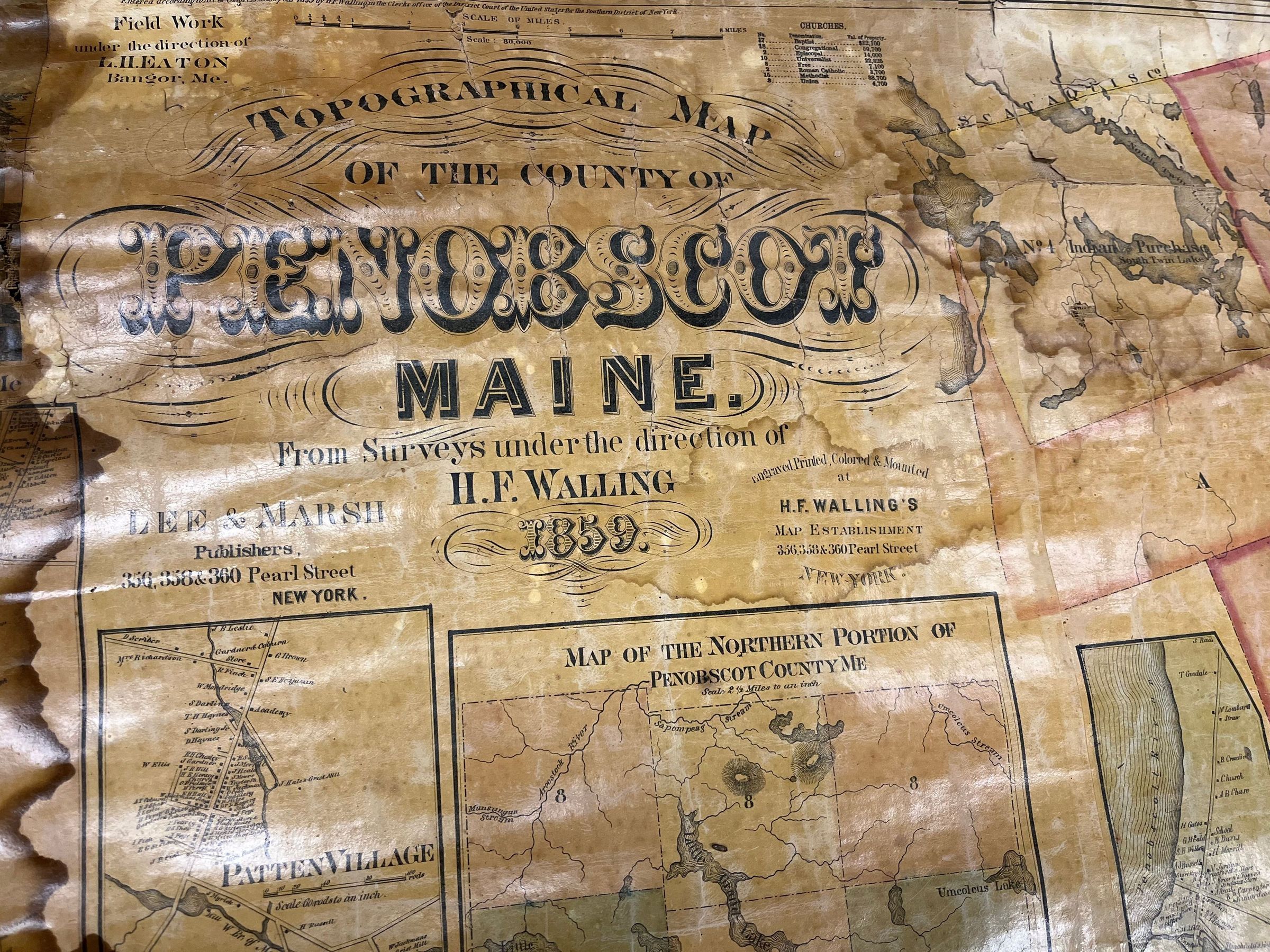
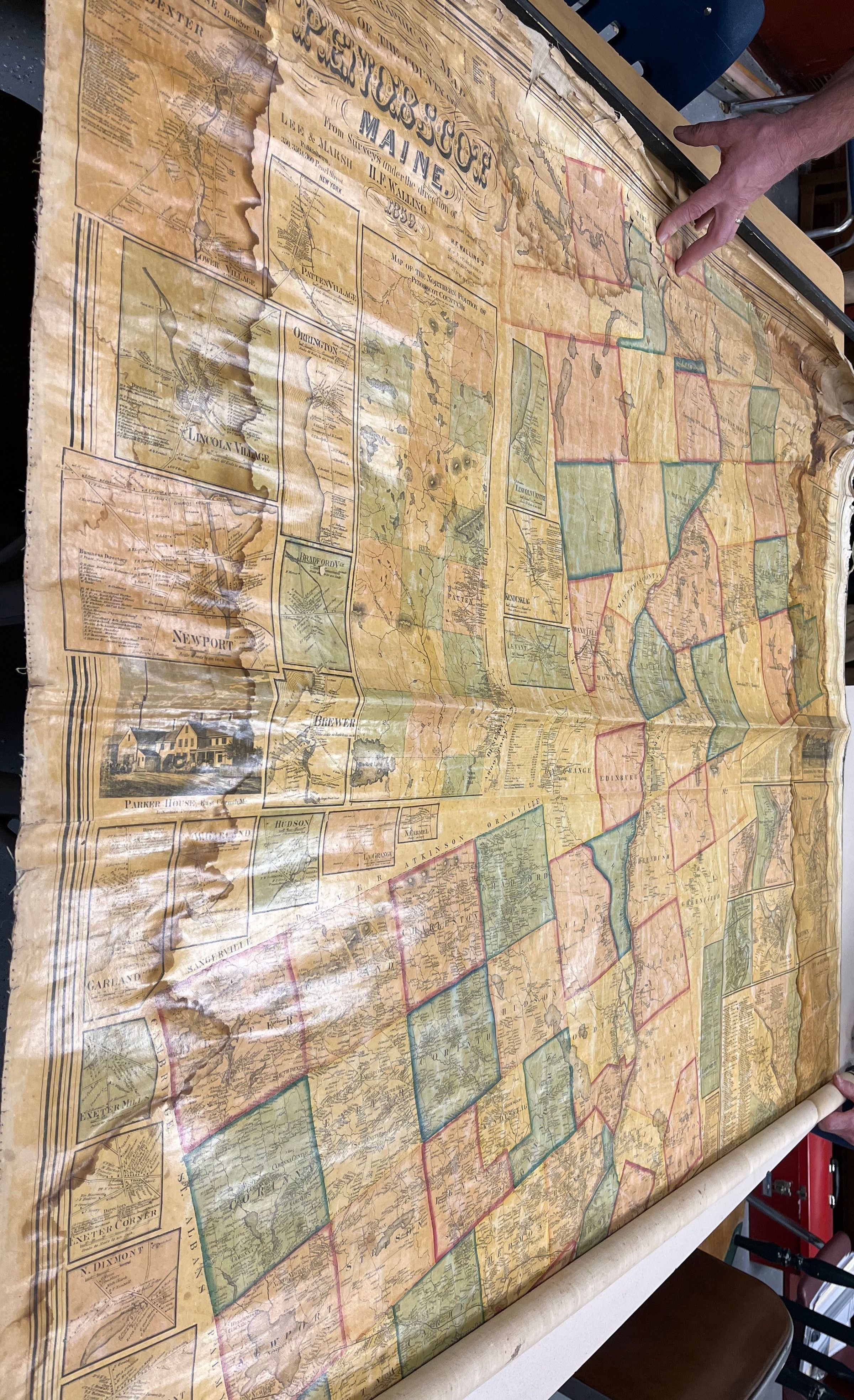
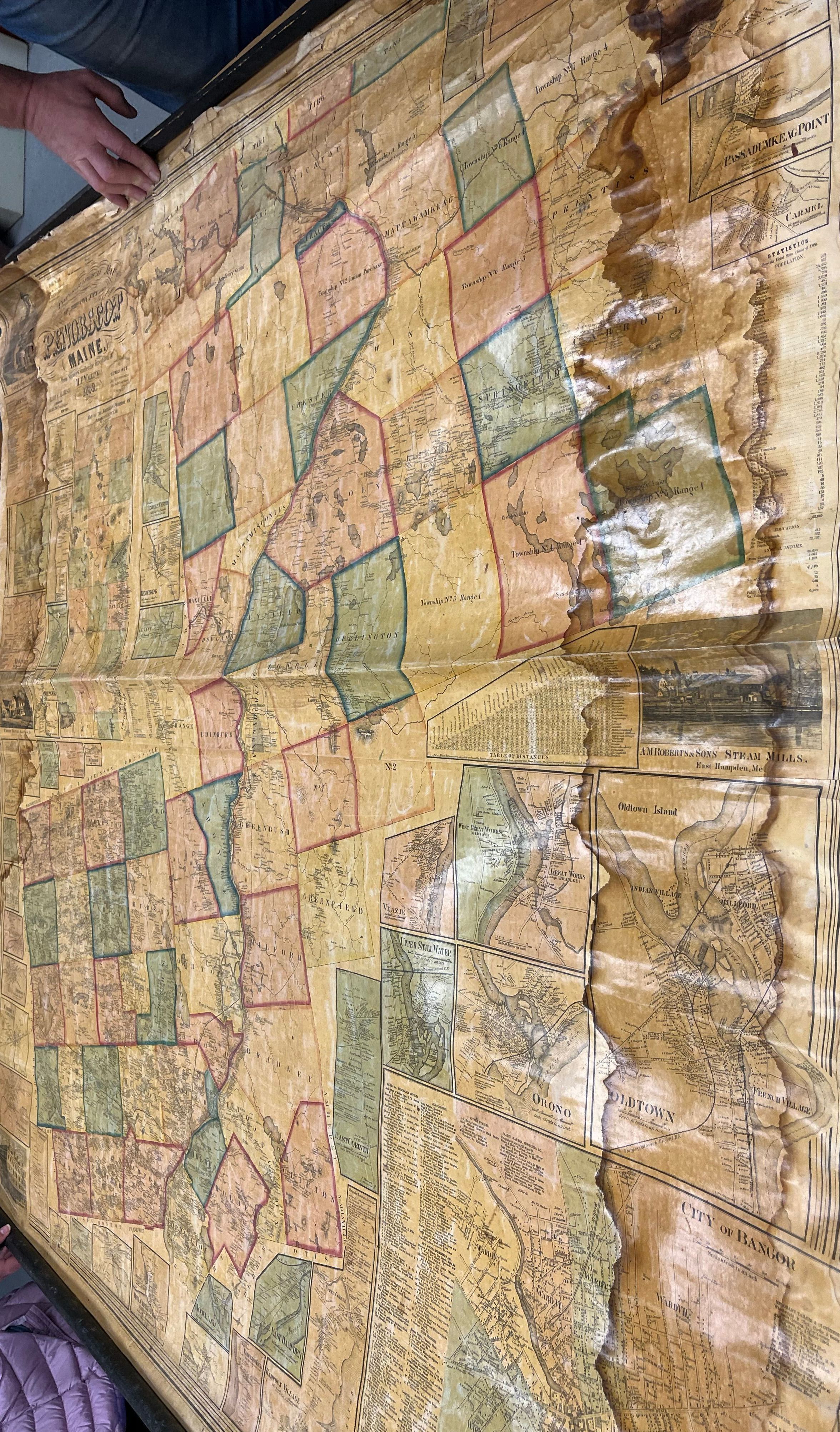
Topographical Map of the County of Penobscot Maine, 1859
Map
-
Exeter Historical Society
Name/Title
Topographical Map of the County of Penobscot Maine, 1859
Entry/Object ID
MAP0001
Description
Topographical wall hanging map of the County of Penobscot Maine, 1859.
Map Details
Area or Region
County
Penobscot County, Maine, USA
Region
Northeast
Continent
North America
Date Published
1859
Time Period
19th Century